Minnesota Prairie Roots

Writing and photography by Audrey Kletscher Helbling

Parts of Rice, Le Sueur & Nicollet counties in all their autumn splendor October 3, 2022

The beginning of our day trip took us west out of Faribault along back county roads. (Minnesota Prairie Roots copyrighted photo October 2022)

AUTUMN POPPED COLOR—brilliant oranges, reds, yellows—into the landscape on an October day as beautiful as they come here in southern Minnesota.

Harvesting beans along Le Sueur County Road 12. (Minnesota Prairie Roots copyrighted photo October 2022)

Throughout Rice, Le Sueur and Nicollet counties, leaves are rapidly changing, splashing hillsides, groves, shorelines and other stands of trees in spectacular seasonal hues.

Photographed at the public boat landing on Horseshoe Lake just off Rice County Road 14 by Camp Omega. (Minnesota Prairie Roots copyrighted photo October 2022)

Randy and I headed on a fall color drive Monday morning, referencing the DNR Fall Color Finder guide promising plenty of colorful leaves to the west. Hours of traveling mostly county roads (including gravel) through the southern Minnesota countryside on our day-long drive provided incredible leaf viewing.

The distant shoreline of Horseshoe Lake blazes fiery colors. (Minnesota Prairie Roots copyrighted photo October 2022)

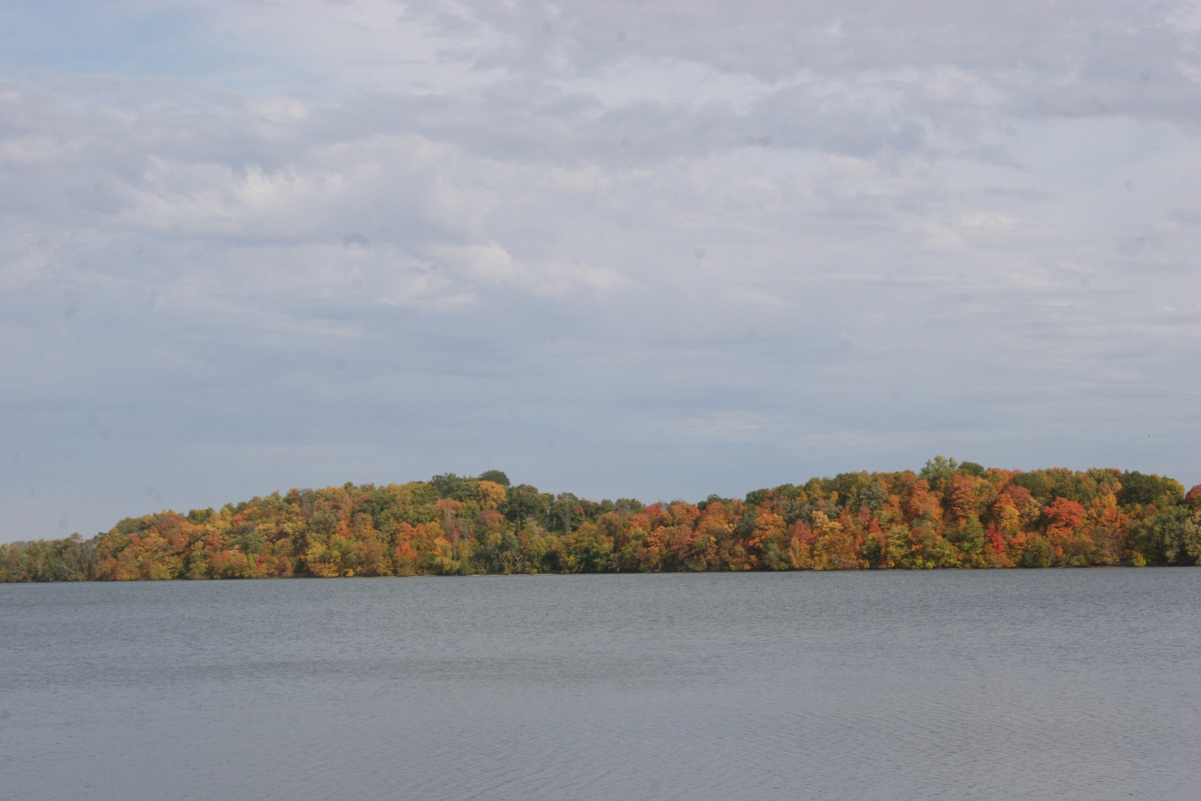
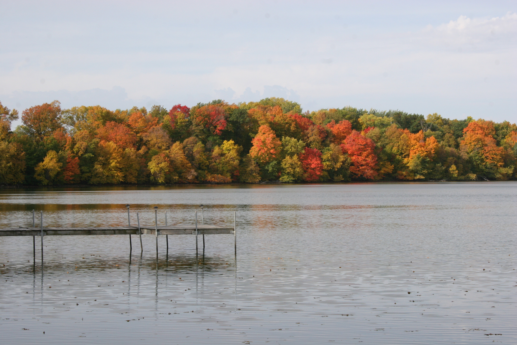
Retracing our exact route through Rice and Le Sueur counties and a small section of Nicollet County would be nearly impossible. But we started out by heading west on Rice County Road 12, eventually following CR 14 to Horseshoe Lake by Camp Omega. The public boat landing there was our first stop to view a lakeside treeline ablaze in fiery hues.

Crops ripen against a farm site backdrop in Le Sueur County. (Minnesota Prairie Roots copyrighted photo October 2022)

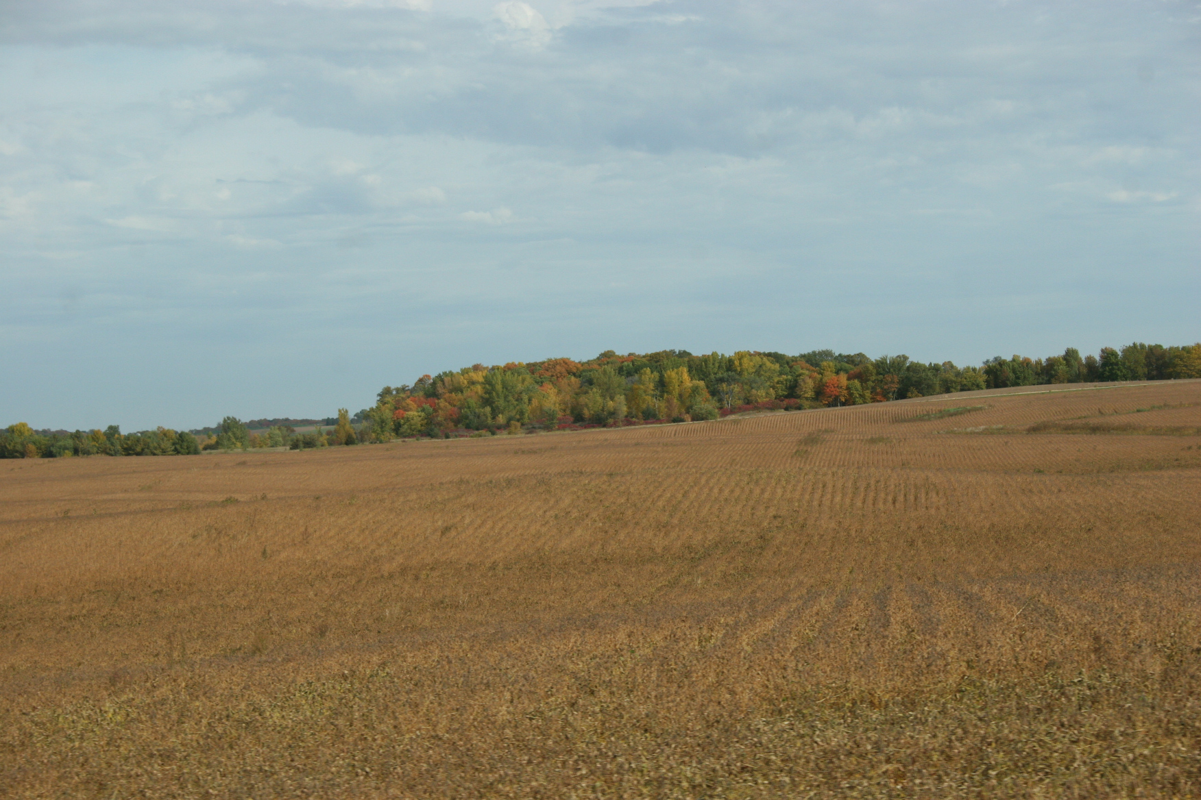
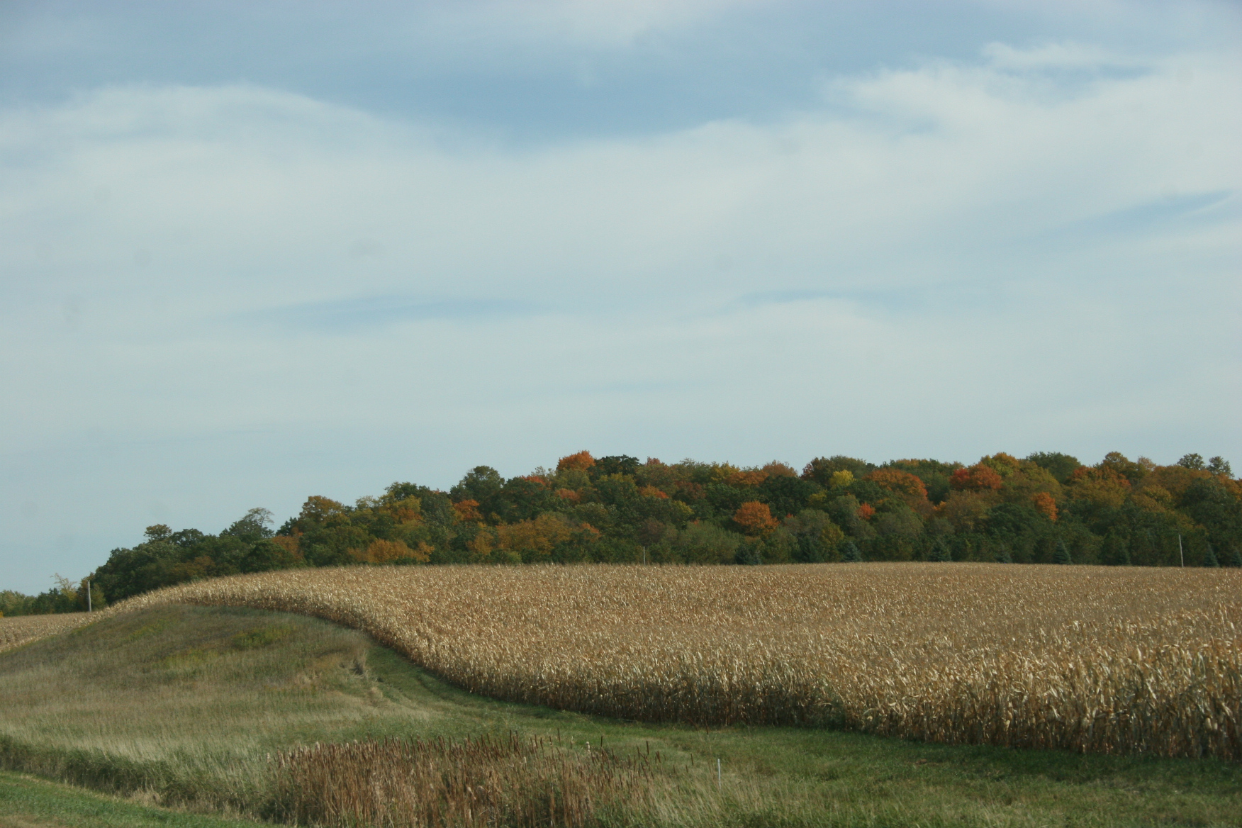
It wasn’t just the trees that drew my eye. I love, too, the acres of corn and soybeans drying under the autumn sun. The muted gold of corn leaves adds to the sense of seasons shifting.

A grain truck holds the harvest along Le Sueur County Road 12. (Minnesota Prairie Roots copyrighted photo October 2022)

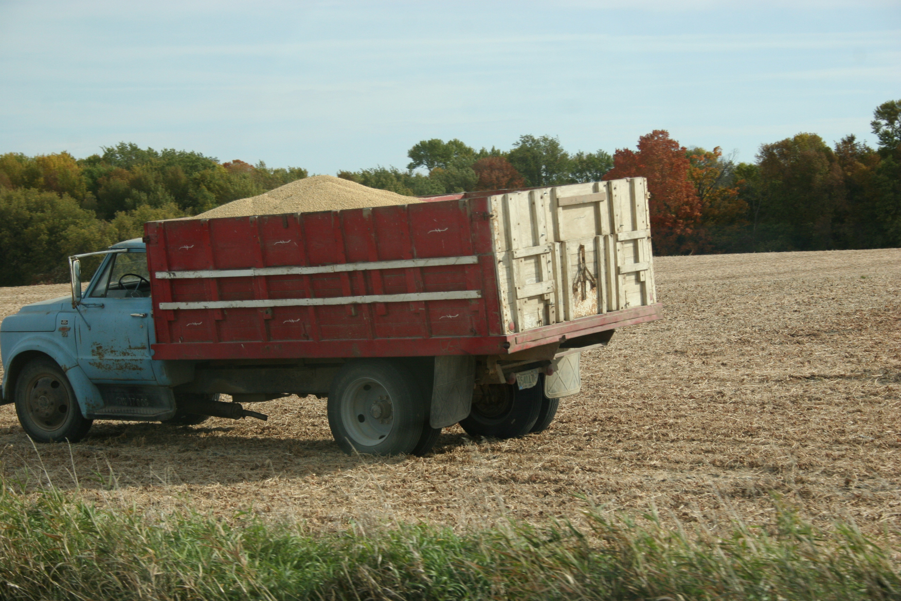
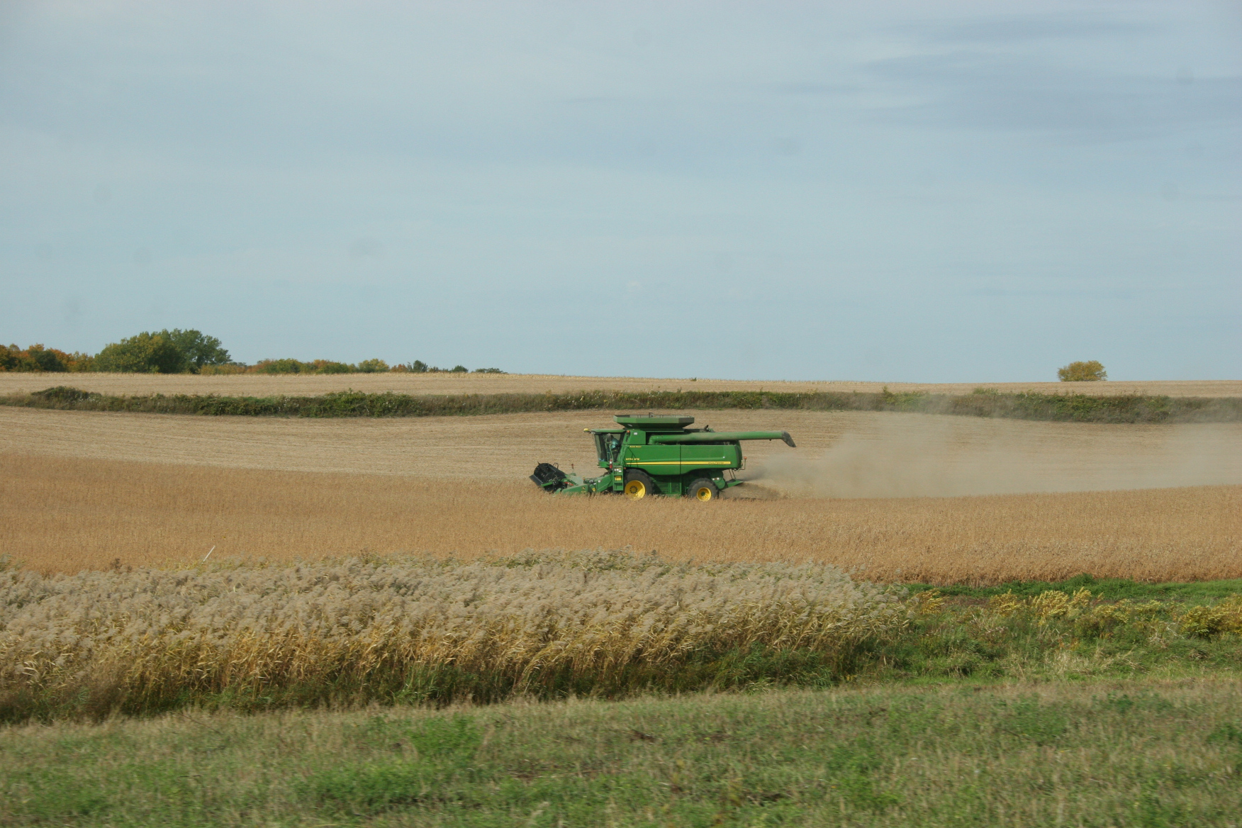
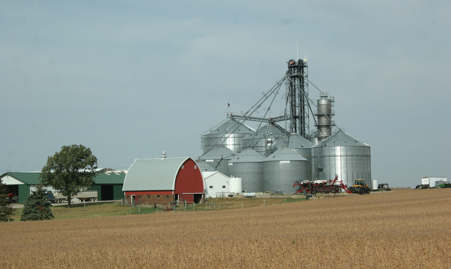
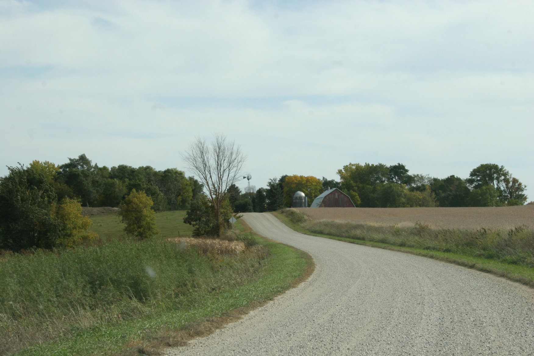
Harvest is well underway with combines and grain trucks in fields. I appreciate the rural landscape any time of year, but especially now as farmers bring in the crops.

Cattle in a pasture along CR 101 on the way to the Kasota Prairie. (Minnesota Prairie Roots copyrighted photo October 2022)

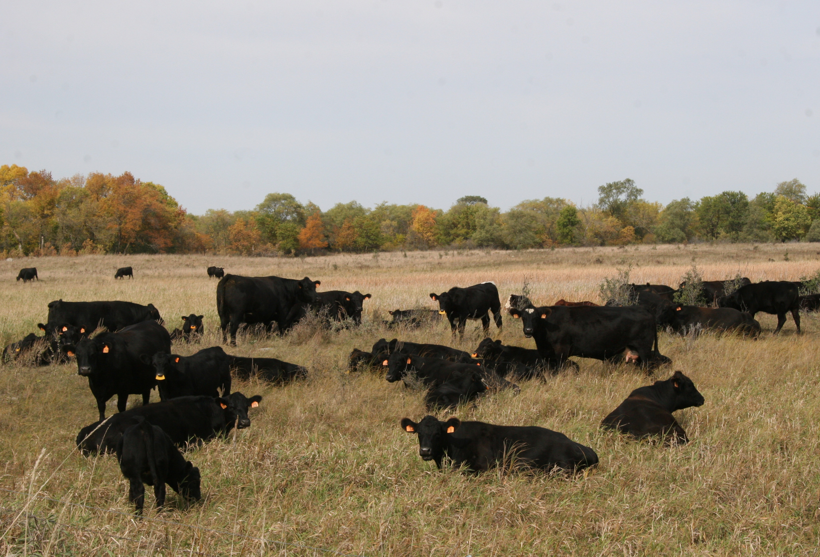
From fields to farm sites (especially barns) to roadside vegetable stands to cattle in pastures, I found myself reconnecting with my agrarian roots, my prairie roots, while on this day trip.

A memorable message marks the entrance to the Kasota Prairie. (Minnesota Prairie Roots copyrighted photo October 2022)

Fiery hillsides of trees edge the Kasota Prairie in the distance. (Minnesota Prairie Roots copyrighted photo October 2022)
A lone cedar stands atop a hill on the Kasota Prairie. (Minnesota Prairie Roots copyrighted photo October 2022)

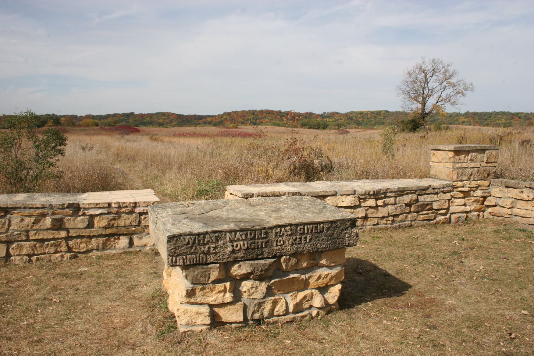
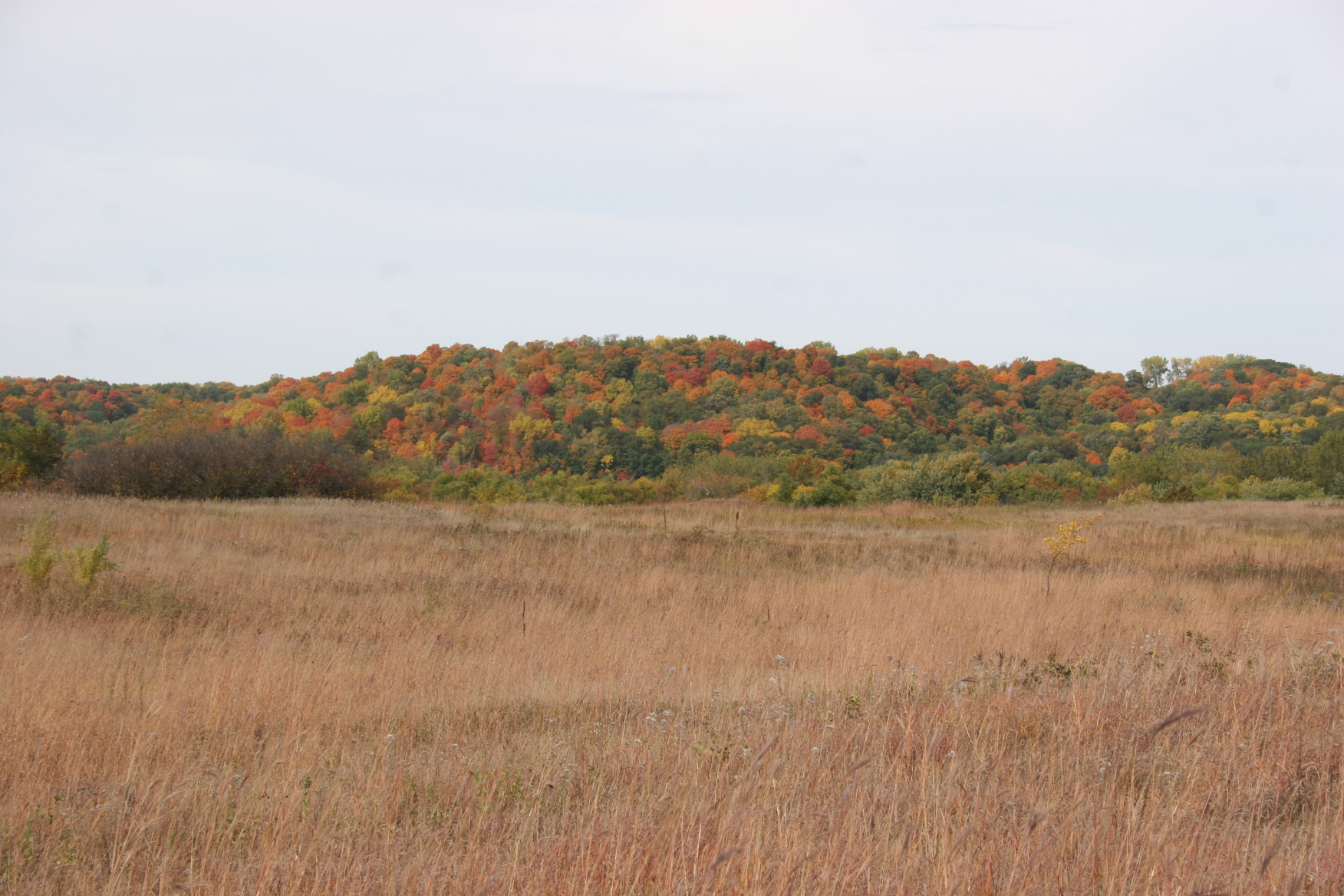
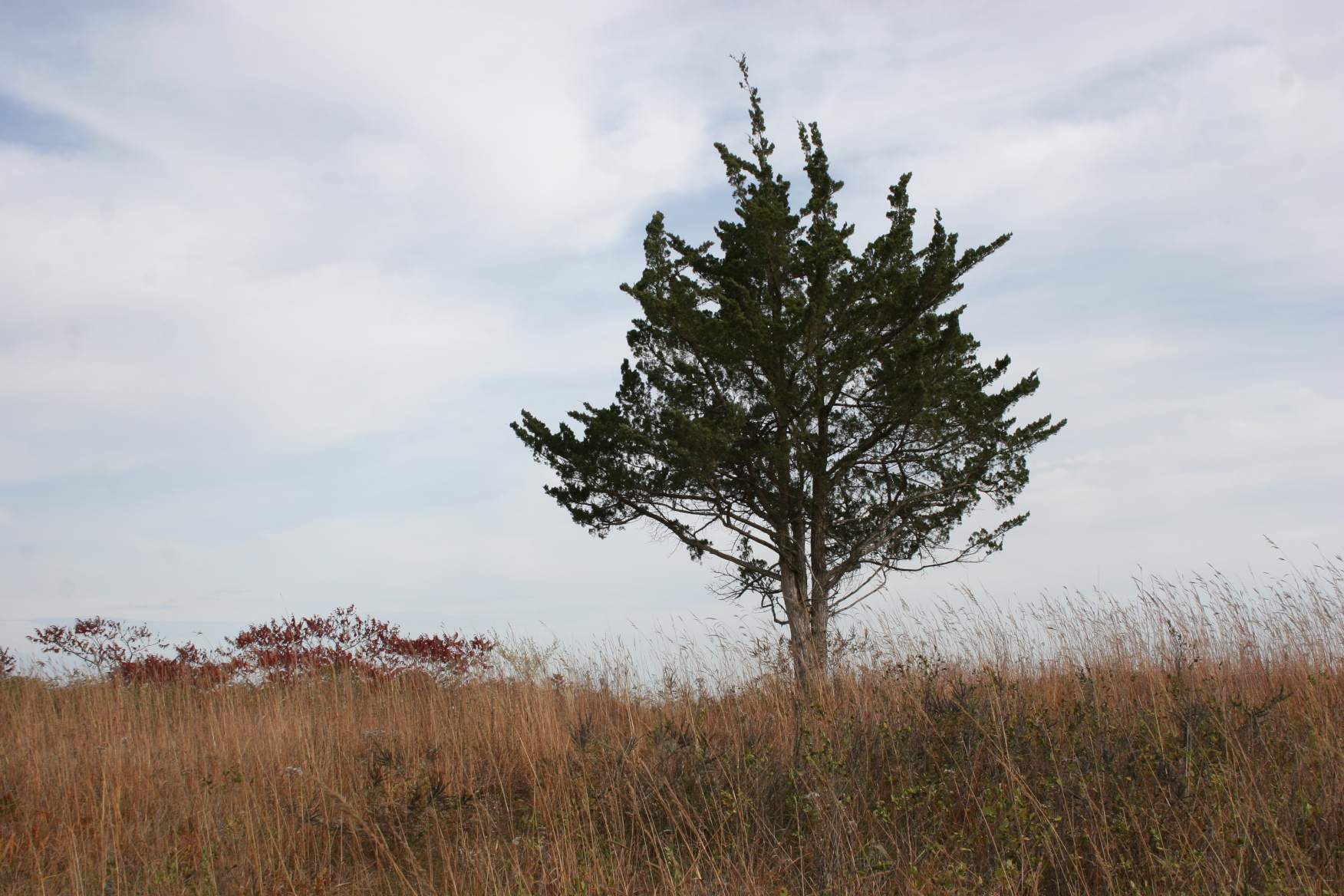
Near Kasota, we turned onto Le Sueur County Road 101 off CR 21 and took a winding gravel road about five miles to the Kasota Prairie. It was worth the dusty road, the meandering drive, to reach this grassland. As we pulled into the parking lot and hiked an uneven dirt trail into the prairie, I stopped multiple times to photograph the distant treeline painted in shades of mostly orange, red, brown… This prairie is a must-see, oh, so lovely, showcasing backdrop trees that hug the Minnesota River.

Colorful treelines can be seen along both sides of US Highway 169. Stunning. (Minnesota Prairie Roots copyrighted photo October 2022)

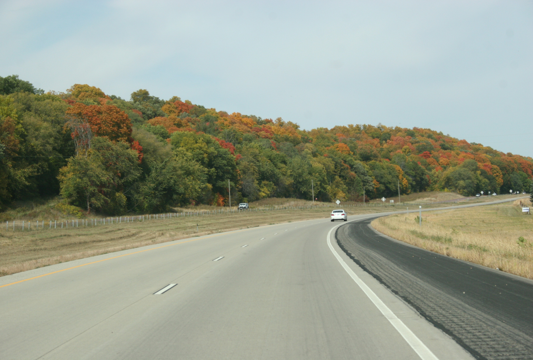
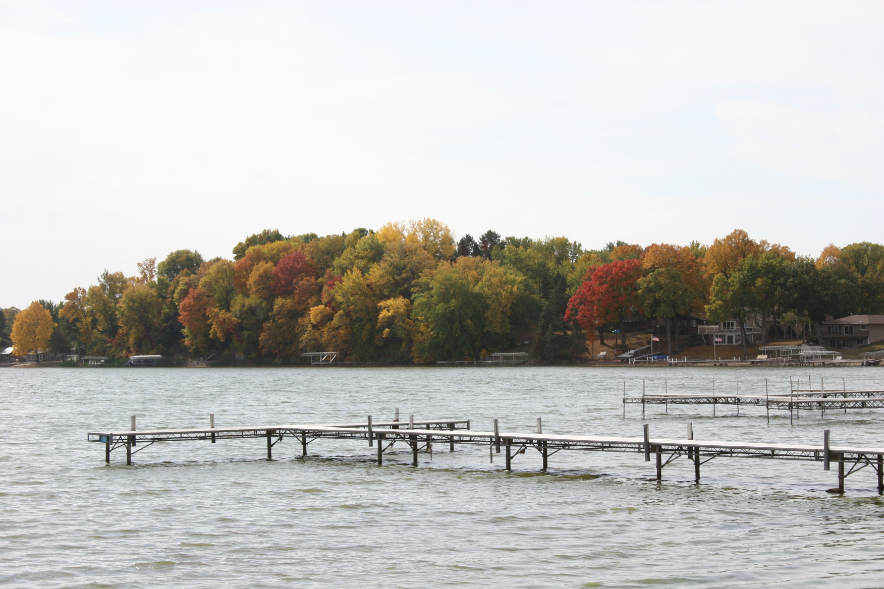
Color in the Minnesota River Valley is near-prime. Originally, we’d intended to tour Mankato, but shifted gears when I learned that my poem, “The Mighty Tatanka,” is not yet posted as part of The Mankato Poetry Walk & Ride. Instead, we drove to St. Peter and took US Highway 169 north out of town. And wow, oh, wow. The colors along the stretch of highway from St. Peter to Le Sueur, especially, are spectacular. This is a must-drive right now. Don’t wait. Not one day. Not two days. Go now.

A memorable barn because of its copper-hued roof. (Minnesota Prairie Roots copyrighted photo October 2022)

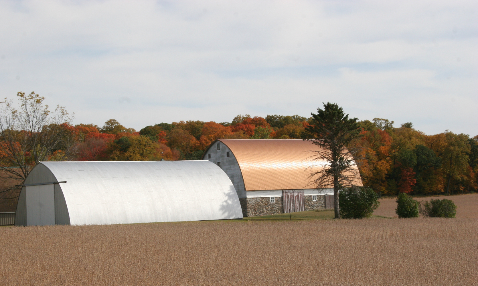
Heading east on Minnesota State Highway 19 toward New Prague, we turned south at Union Hill and shortly thereafter took a gravel road to State Highway 13, then turned onto Le Sueur County Road 145, landmarked by a barn roof the color of copper set against an autumn backdrop of trees.

A road sign that fit the day’s purpose, to view leaves. (Minnesota Prairie Roots copyrighted photo October 2022)

If I remember correctly, this farm site is along Leaf Trail. (Minnesota Prairie Roots copyrighted photo October 2022)

Heading back toward Faribault, another stunning treeline next to a cornfield. (Minnesota Prairie Roots copyrighted photo October 2022)

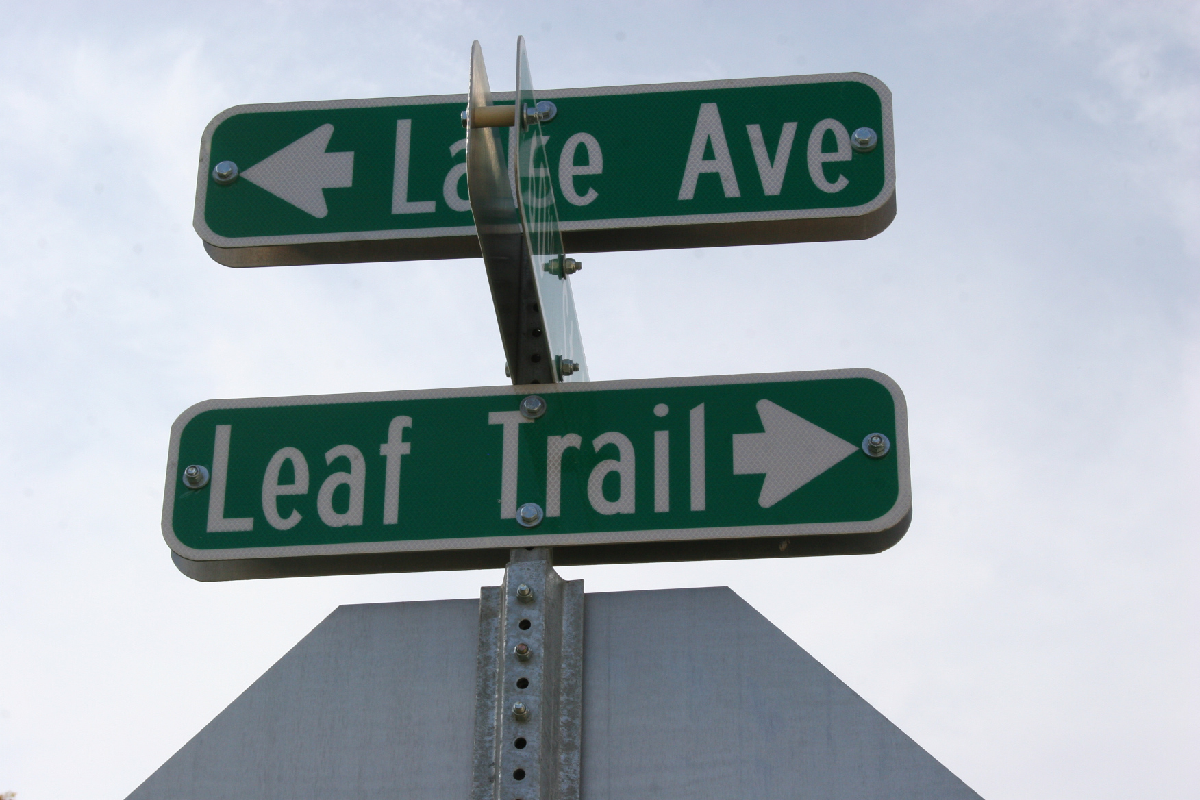
More gravel roads, including one appropriately named Leaf Trail, and blacktop eventually led us to Millersburg and aiming home to Faribault mostly along CR 46. Interstate 35 may have been a better choice for fall colors based on the colorful trees spotted there on Sunday between Faribault and the first Lakeville exit.

A view of Lake Washington from the public boat landing. (Minnesota Prairie Roots copyrighted photo October 2022)

But by then it was late afternoon, many road miles later with stops at lakes and the prairie and a park for a picnic lunch. We’d had a full day. A day full of autumn in Minnesota at its best. Warm. Mostly sunny. And ablaze in colors, the reason I so love this season.

© Copyright 2022 Audrey Kletscher Helbling


Exploring the Kasota Prairie on an October afternoon October 7, 2010


A rock juts into the Kasota Prairie.


I CAN HEAR, in the distance, the steady thrum of traffic, presumably from U.S. Highway 169 or perhaps from nearby Minnesota Highway 22. I’m uncertain because I’ve never been here before and I haven’t consulted a map to pinpoint my location.

If not for the endless drone, I could be standing in the middle of a remote South Dakota or western Minnesota prairie.

But I am in south central Minnesota, at the Kasota Prairie, on a 90-acre remnant of the prairie land which comprised one-third of our state before 1850. Here native prairie grasses remain and grazed lands have been restored.


A view from the parking lot with a stone wall framing the prairie.


On a Friday afternoon, my husband and I discover this scenic spot in the Minnesota River valley two miles from Kasota. Because I favor the sweeping, wide open spaces of the prairie, the place of my roots, to the cramped confines of wooded land, I am comfortably at home here.

Prairie meets sky at Kasota. Stems of grasses dried to the muted earthen shades of autumn sway in the wind, mingling with the wildflowers and the berries I can’t always identify.

Occasionally a block of ancient rock juts through the soil, breaking the vista of plant life.


Water, rock, sky and prairie meld in this scenic Kasota Prairie landscape.


I pause often along the walking trails, even stray from the trampled paths, to examine the mottled stone, to admire a lone, rock-encircled barren tree atop a hill, to identify the red berries of wild roses, to study a clutch of feathers left by a predator, to take in the distant hillside of trees tinted in autumn colors.


My favorite image from the Kasota Prairie, a barren tree encircled in rock.


Wild rose berries on the Kasota Prairie.


Trees on a distant hillside change colors under October skies.


There is so much to appreciate here. Wind. The sky, quickly changing from azure blue wisped with white to the angry gray clouds of a cold front. Land, rolling out before me, unbroken except for sporadic pockets of water, the occasional tree or cluster of trees and those rocks, those hard, ancient rocks that interrupt this land, this Kasota Prairie.


A sign marks the Kasota Prairie entrance.


To truly appreciate the prairie, notice the details, like the berries growing among the grasses.


A narrow path runs along the barbed wire fence border line of the prairie.


FYI: To find the Kasota Prairie, take Le Sueur County Road 21 one mile south of Kasota. Then turn west onto township road 140 and go one mile.

© Copyright 2010 Audrey Kletscher Helbling