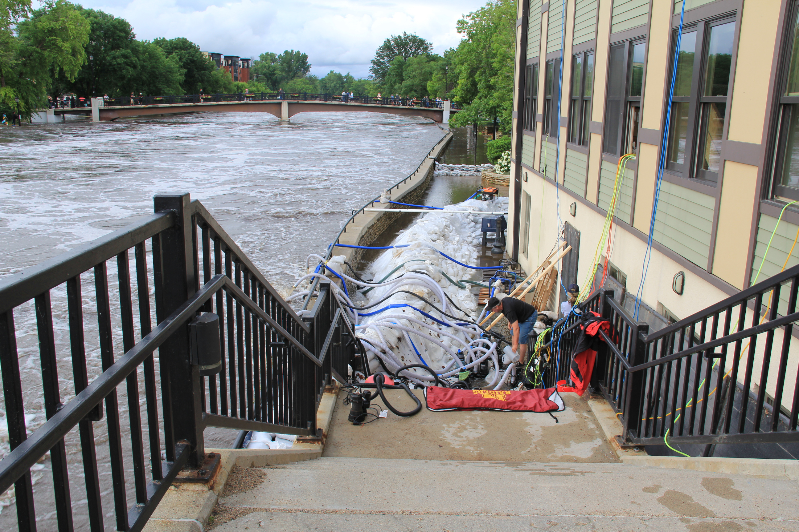
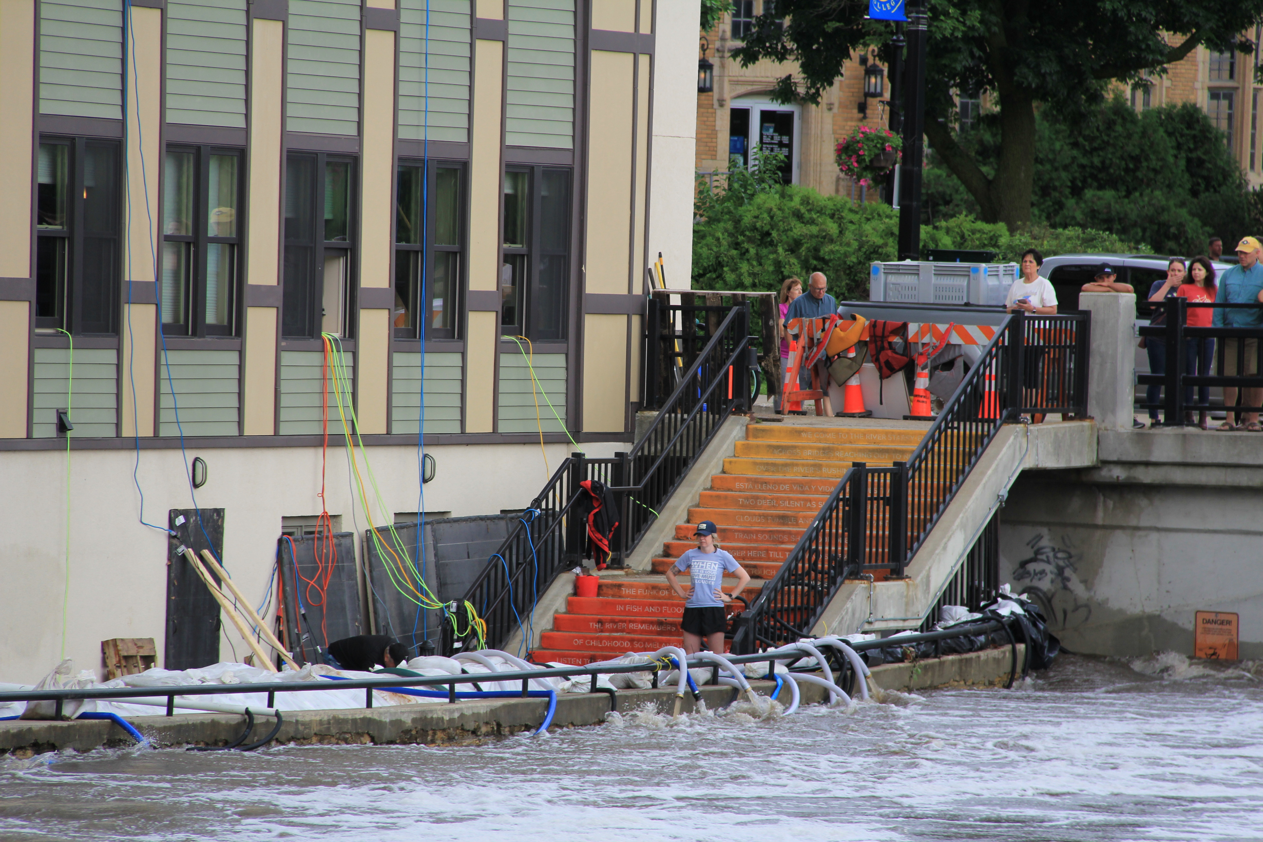
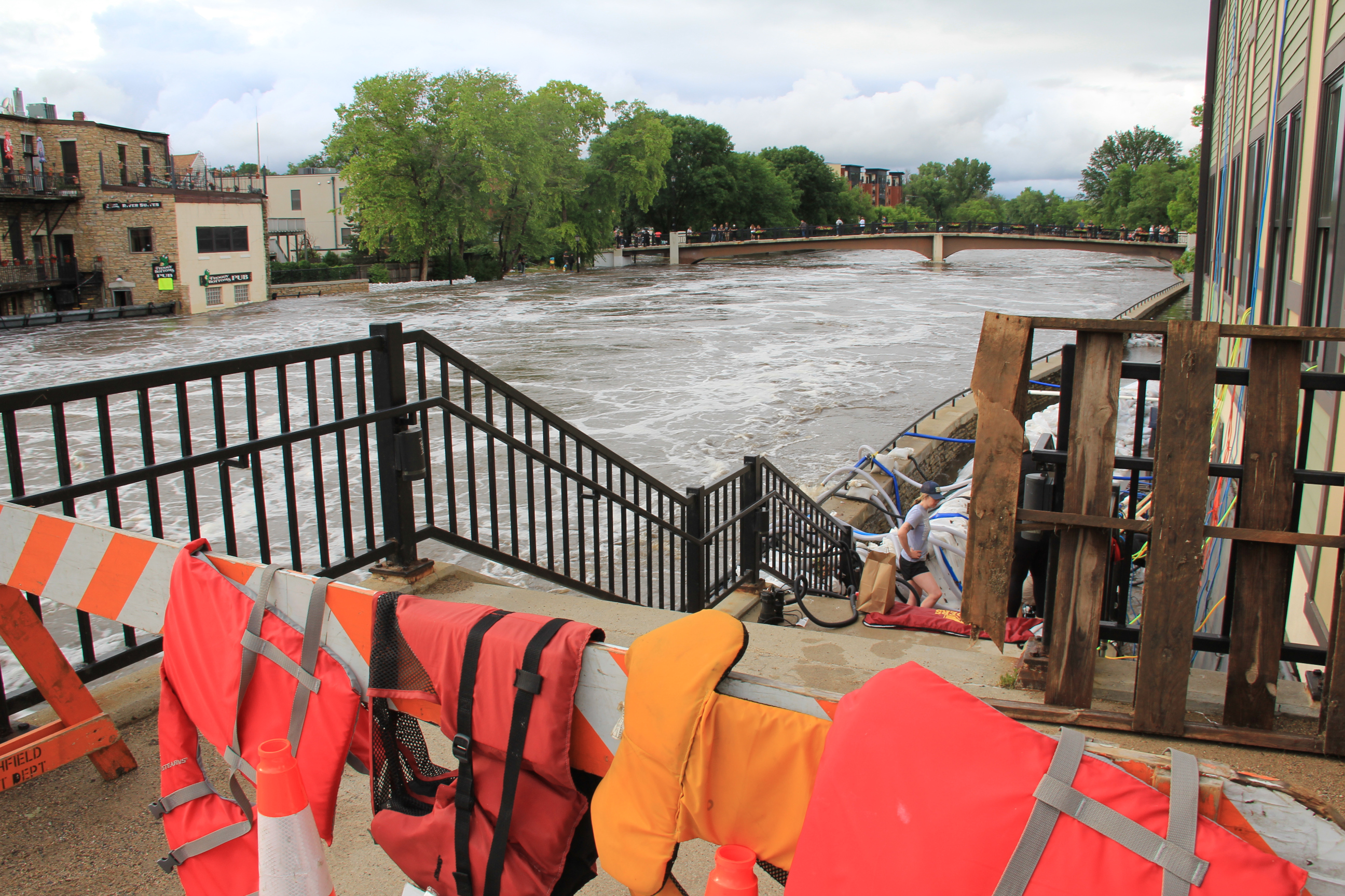
A crew works to protect the Carlson Capital Management building along the east bank of the Cannon River. This is by the “Poem Steps” leading to the Riverwalk, now flooded. (Minnesota Prairie Roots copyrighted photo June 22, 2024)
MANY AREAS OF SOUTHERN MINNESOTA, including my county of Rice, have been inundated with torrential rain during the past week. That’s led to flooding of rivers and property and to road closures. Like so many others, I’ve been out and about observing, taking photos.
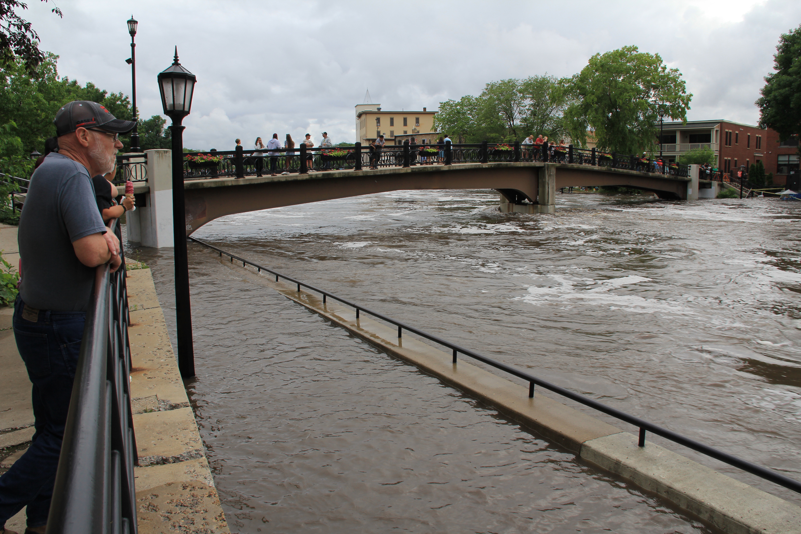
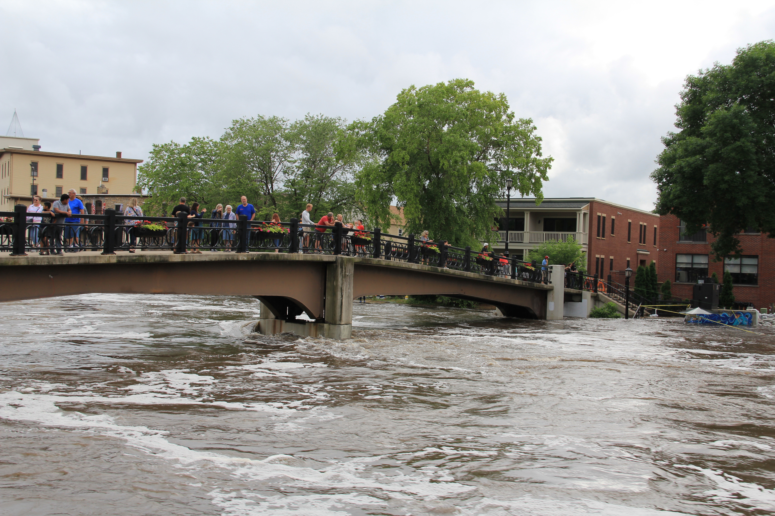
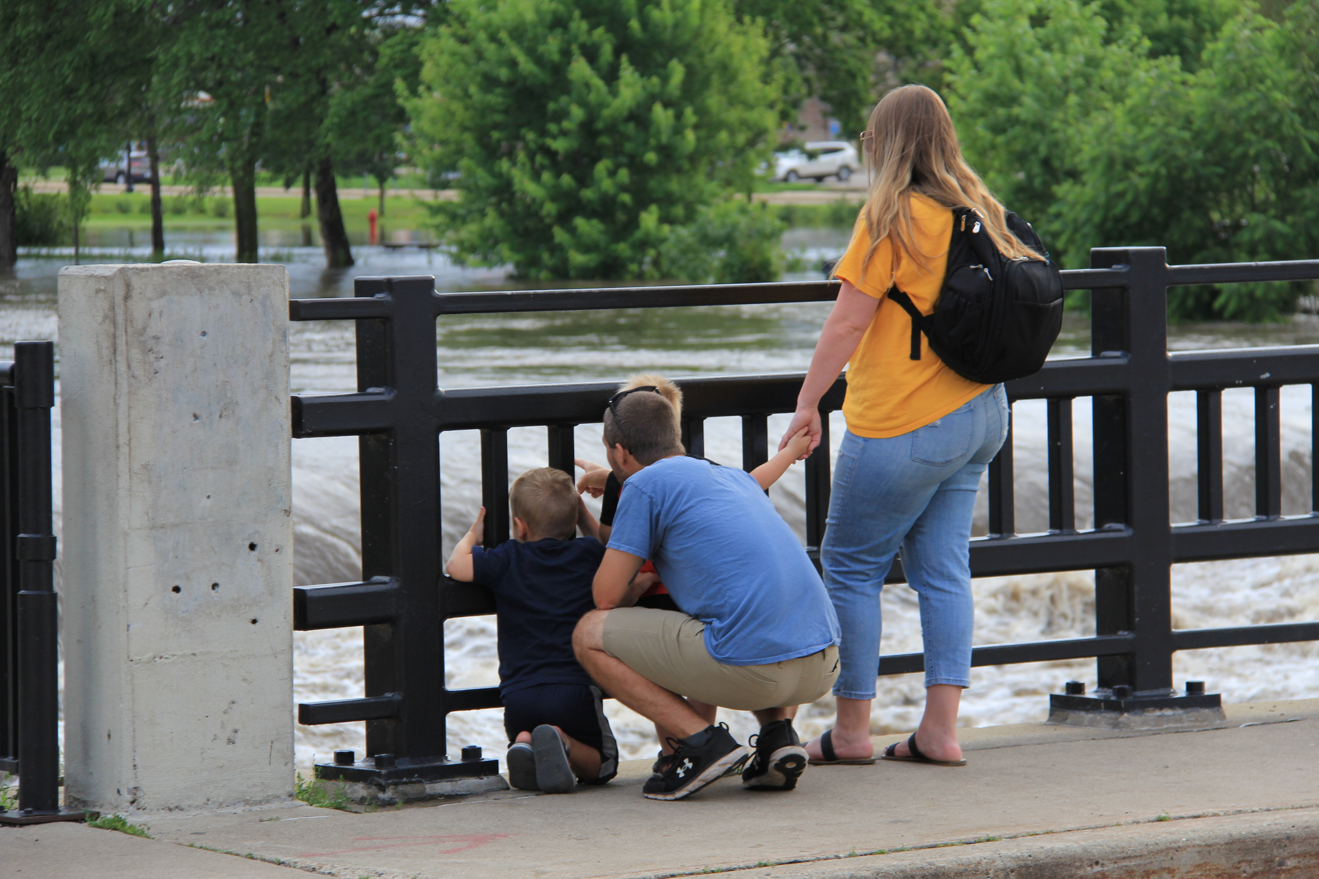
People gather on the pedestrian bridge and along a sidewalk above the Riverwalk to see flooding along the Cannon River. (Minnesota Prairie Roots copyrighted photo June 22, 2024)
Saturday evening, on our way home from visiting family in Lakeville, Randy and I drove through Northfield and stopped to walk along the Cannon River. The river runs through the heart of this historic downtown, which features a waterside river walk.
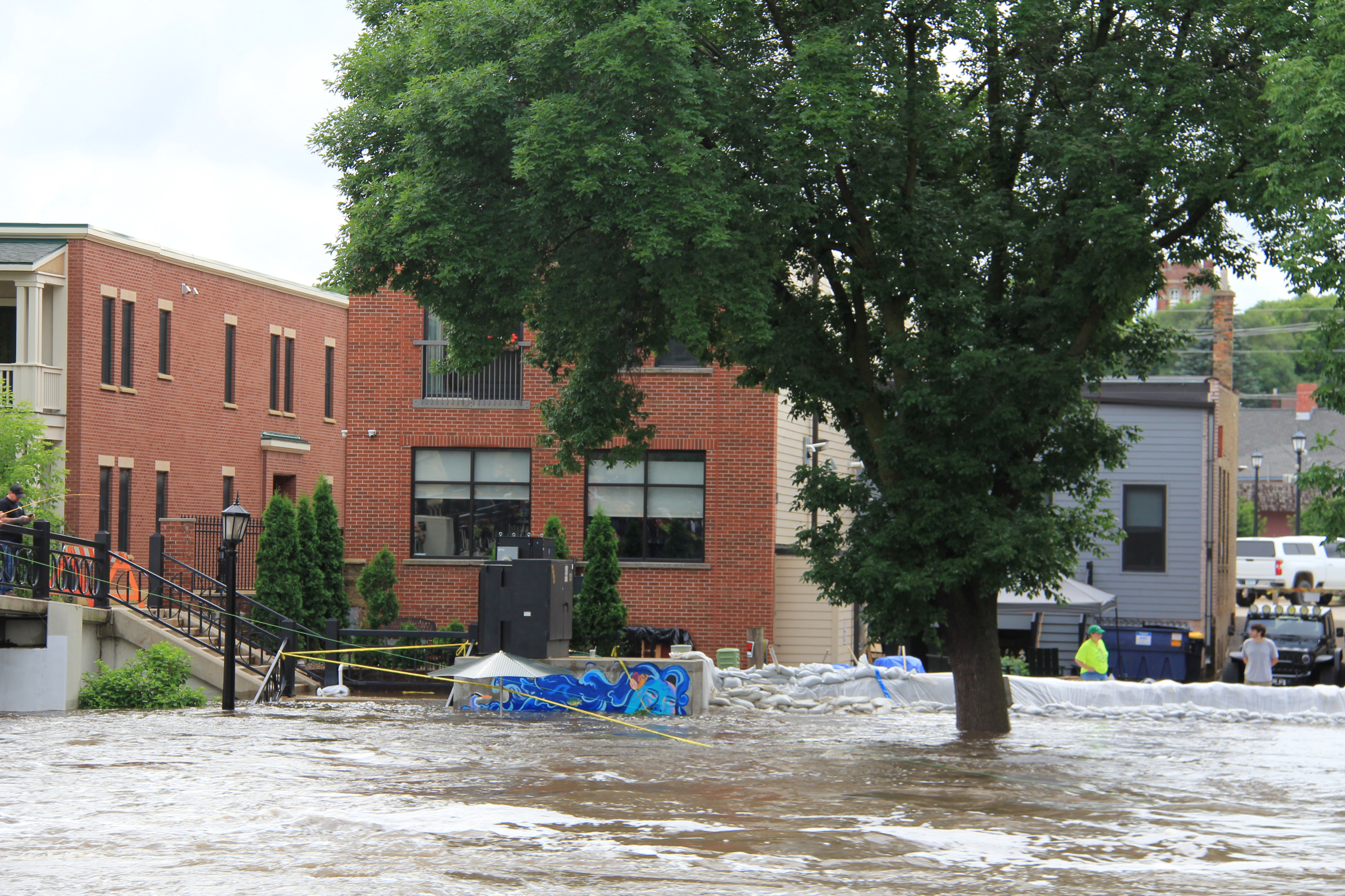
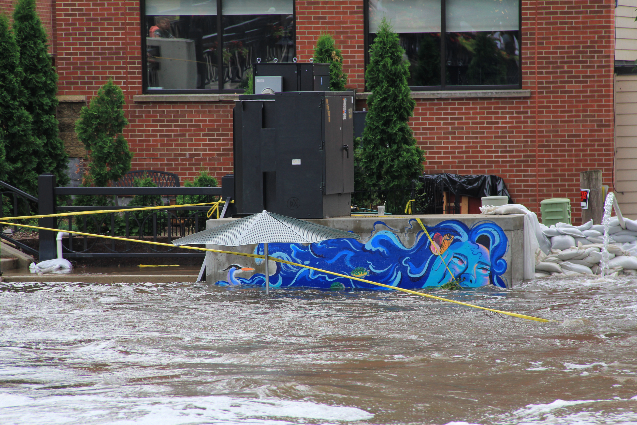
Flooding and sandbagging along the west bank of the Cannon near the Lady Cannon mural.
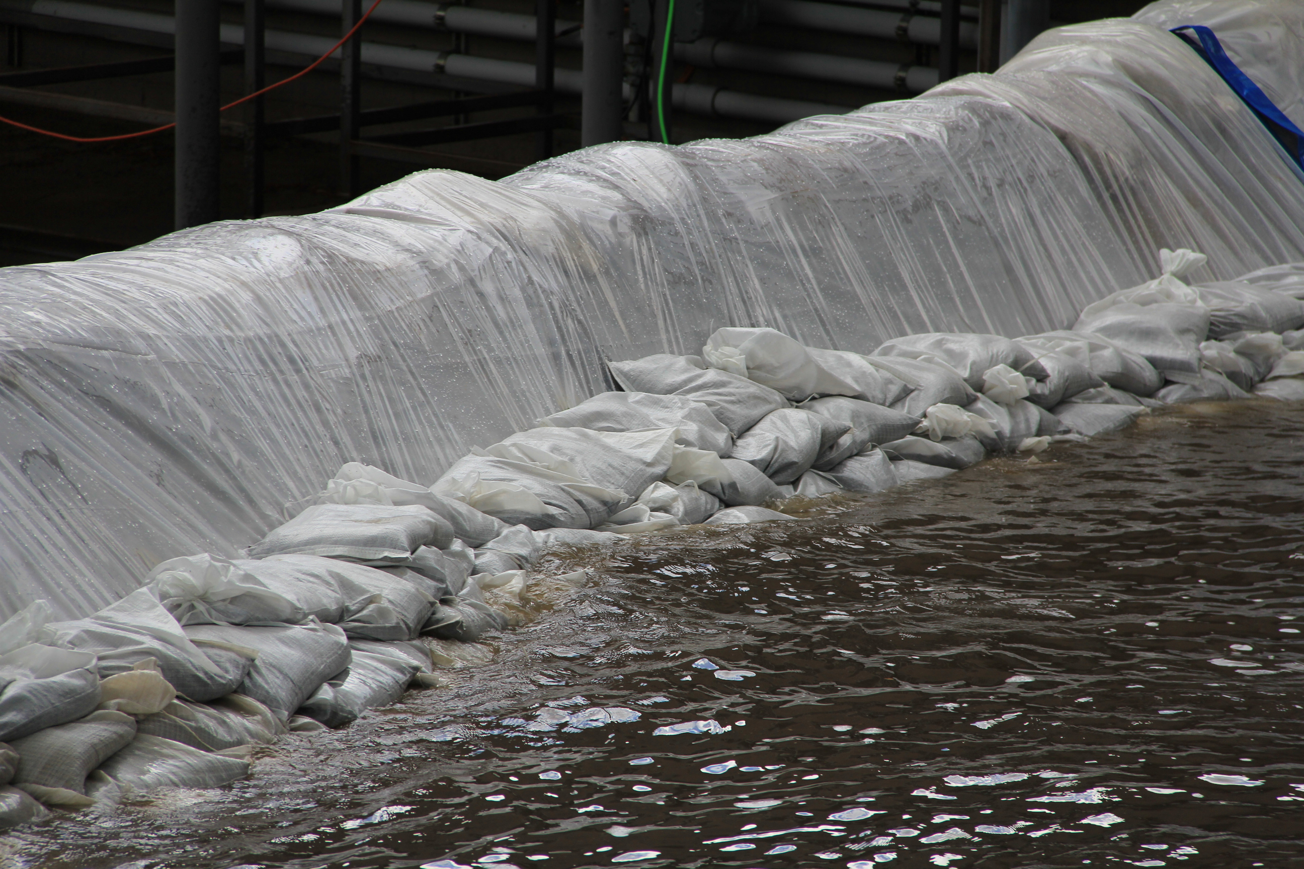
Sandbag wall on the west side of the river. (Minnesota Prairie Roots copyrighted photo June 22, 2024)
Lady Cannon is nearly swimming in the river. (Minnesota Prairie Roots copyrighted photo June 22, 2024)
The Cannon has spilled over its banks, flooding the river walk and adjacent land and threatening buildings at water’s edge. Sandbags are in place. Pumping is underway.
People line the pedestrian bridge across the Cannon for a wide perspective of the river and the flooding. (Minnesota Prairie Roots copyrighted photo June 22, 2024)
Looking north from the pedestrian bridge to the Second Street/State Highway 19 bridge. (Minnesota Prairie Roots copyrighted photo June 22, 2024)
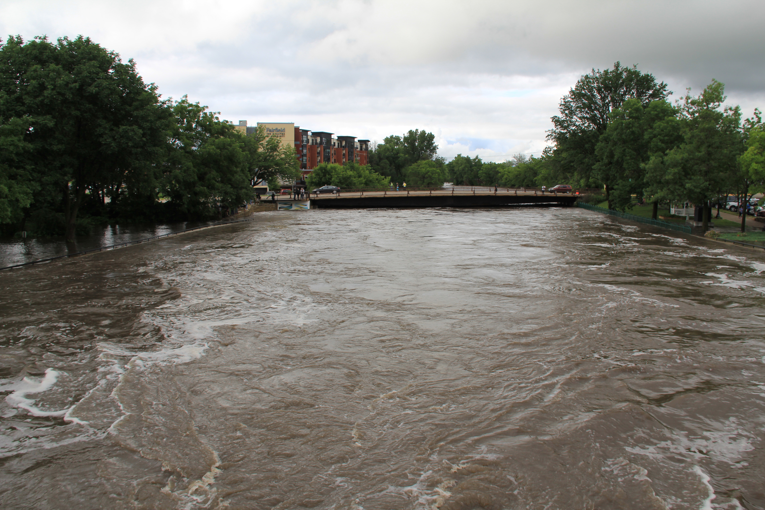
Looking south from the pedestrian bridge toward the Water Street bridge by the Ames Mill Dam. (Minnesota Prairie Roots copyrighted photo June 22, 2024)
And people are coming to the river by the hundreds to view its raging power. A pedestrian bridge high above the water offers a unique perspective.
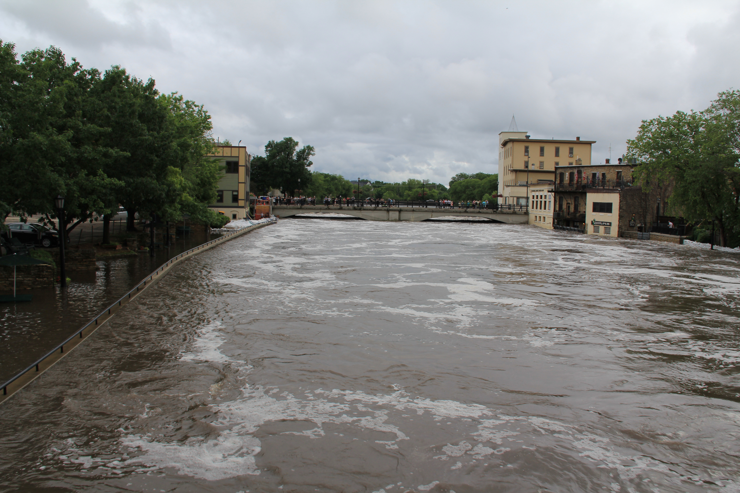
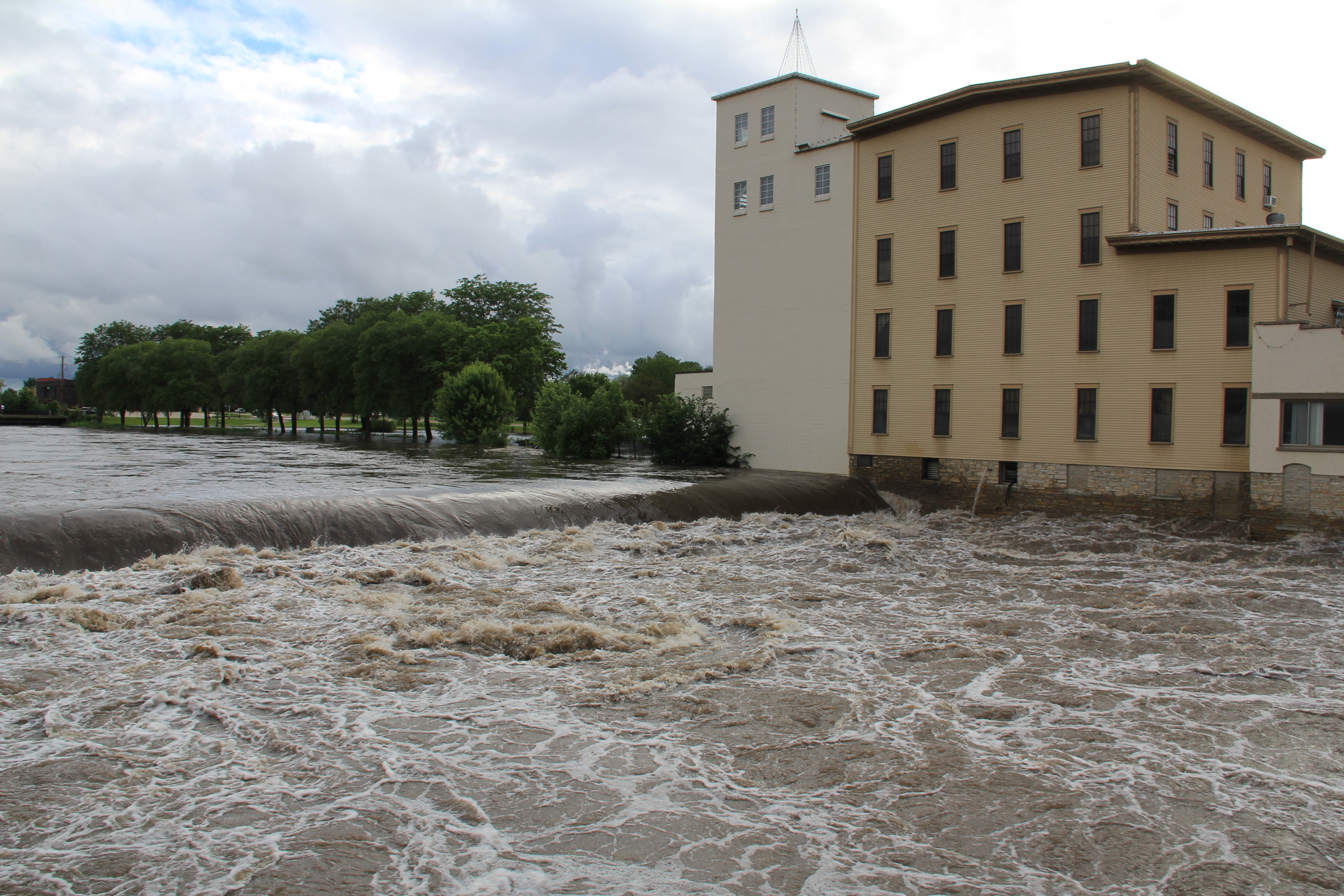
The dam is barely visible by the historic Ames Mill. (Minnesota Prairie Roots copyrighted photo June 22, 2024)
Among the many people viewing the river at the dam site. (Minnesota Prairie Roots copyrighted photo June 22, 2024)
And a bridge across the river by the historic Ames Mill provides a close-up view of the Cannon roaring over the dam.
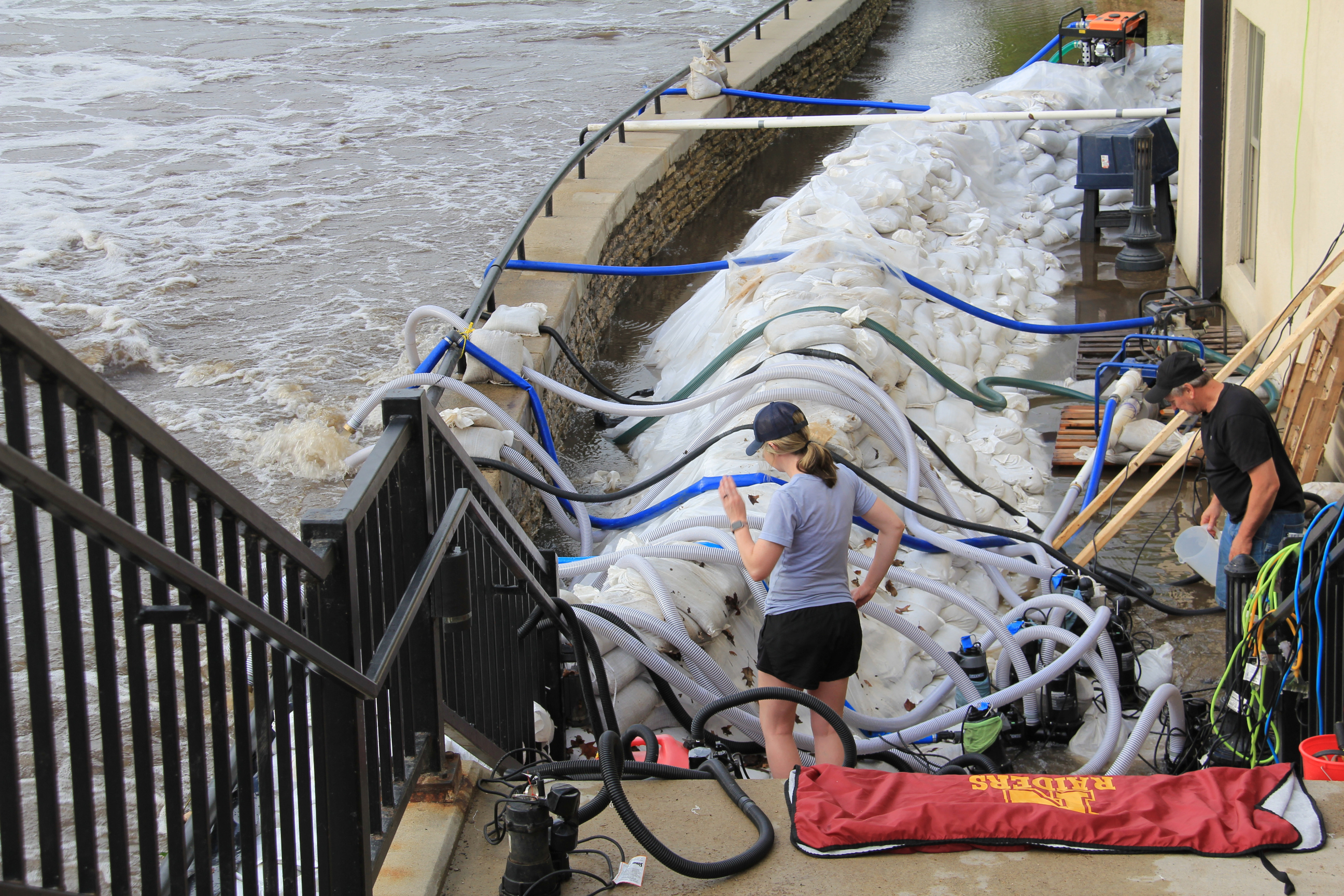
Protecting Carlson Capital Management. (Minnesota Prairie Roots copyrighted photo June 22, 2024)
A maze of hoses channel water out of the Carlson building while sandbags protect it. (Minnesota Prairie Roots copyrighted photo June 2024)
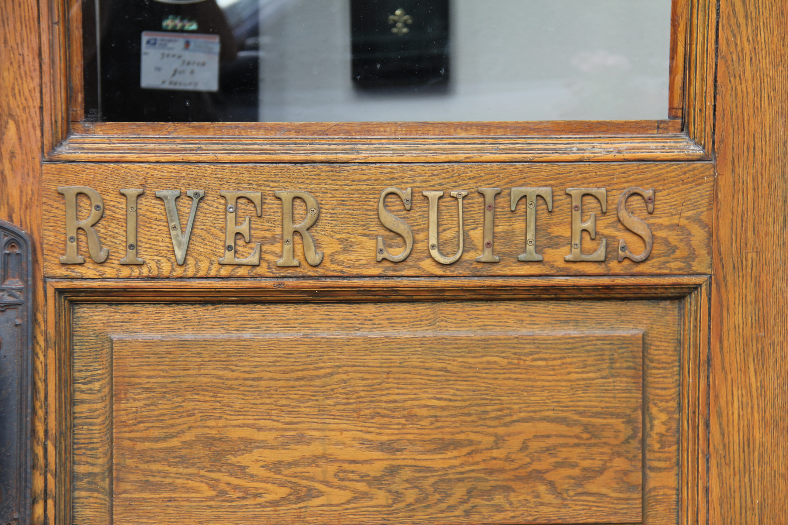
Froggy Bottoms on the west bank floods whenever the river floods. A neon green poster on the building reads: “This Frog Swims Again.” (Minnesota Prairie Roots copyrighted photo June 22, 2024)
It is impressive, all of it. The nauseating movement of the water. The speed. The danger. The feeling of overwhelming respect and awe in the presence of such power.
Fitting words on the door of the Froggy Bottoms building. (Minnesota Prairie Roots copyrighted photo June 22, 2024)
This I felt as I took in the scene unfolding before me on a Saturday evening in Northfield.
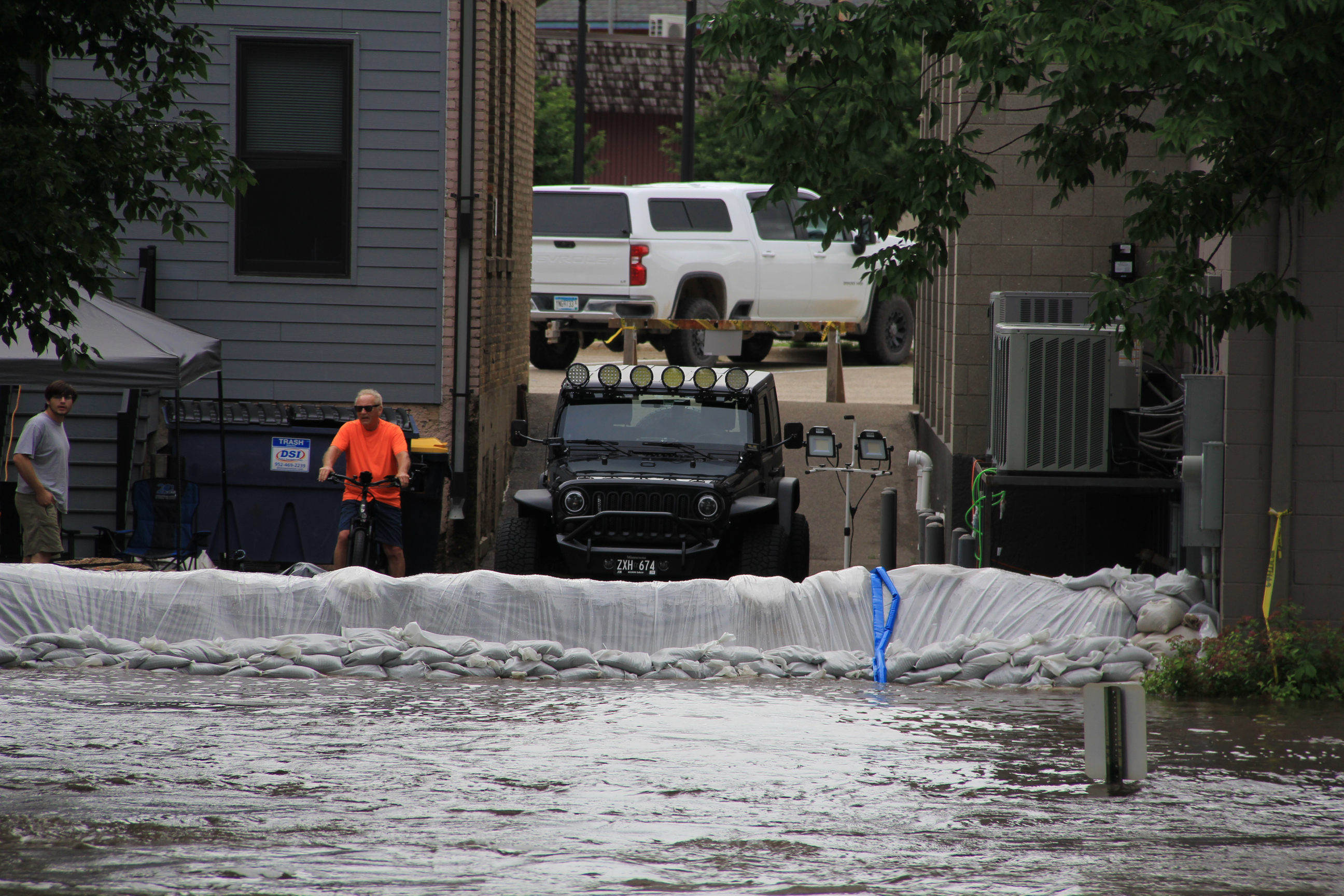
A sandbag wall protects property along the west bank of the Cannon River. (Minnesota Prairie Roots copyrighted photo June 22, 2024)
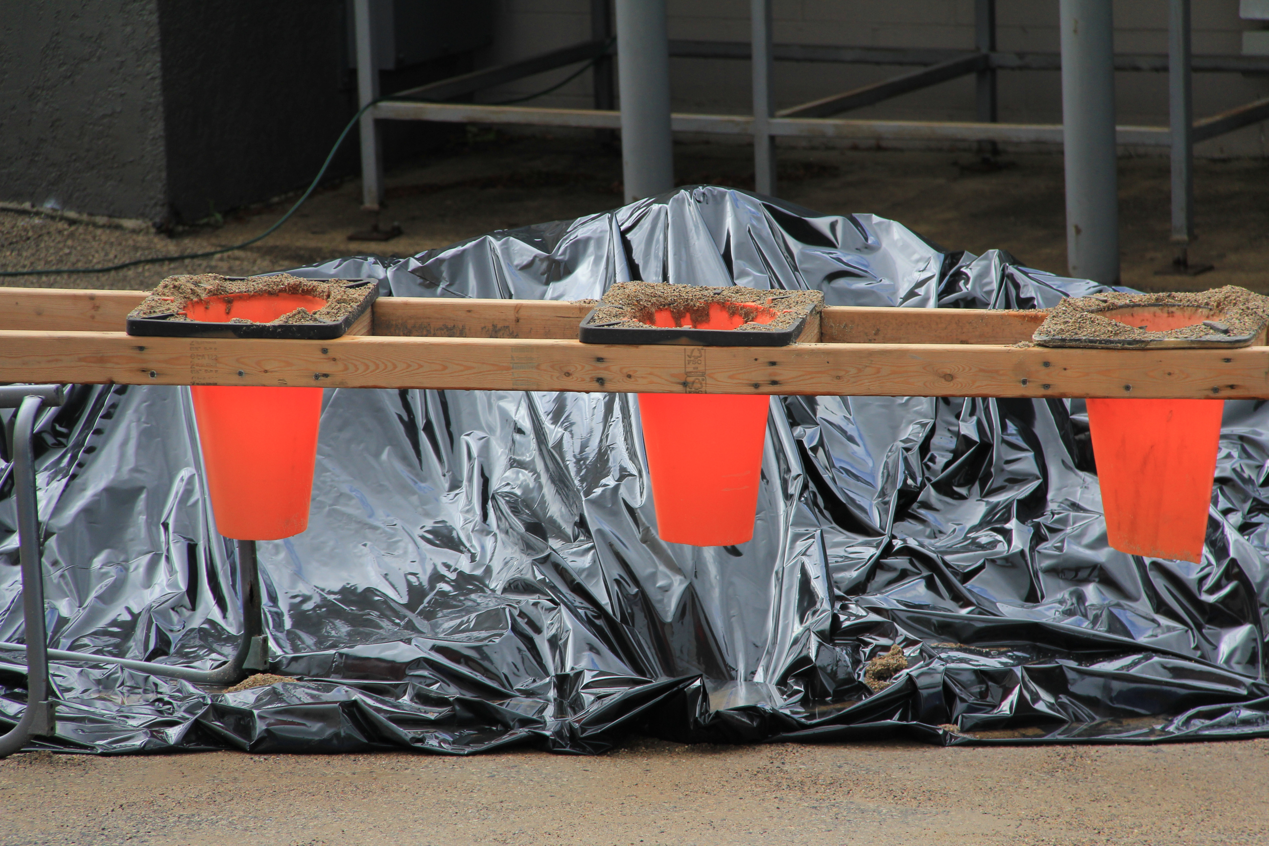
A sandbagging station. (Minnesota Prairie Roots copyrighted photo June 22, 2024)
A line of sandbags protects property on the west bank of the Cannon. (Minnesota Prairie Roots copyrighted photo June 22, 2024)
Life jackets drape a barricade blocking access to the flooded east side Riverwalk. Below, workers work to protect the Carlson building from the river. (Minnesota Prairie Roots copyrighted photo June 22, 2024)
NOTE: Check back tomorrow for flood photos from Faribault.


Recent Comments