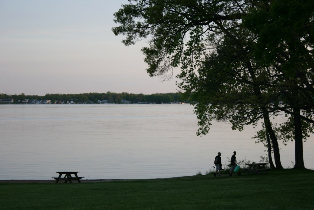
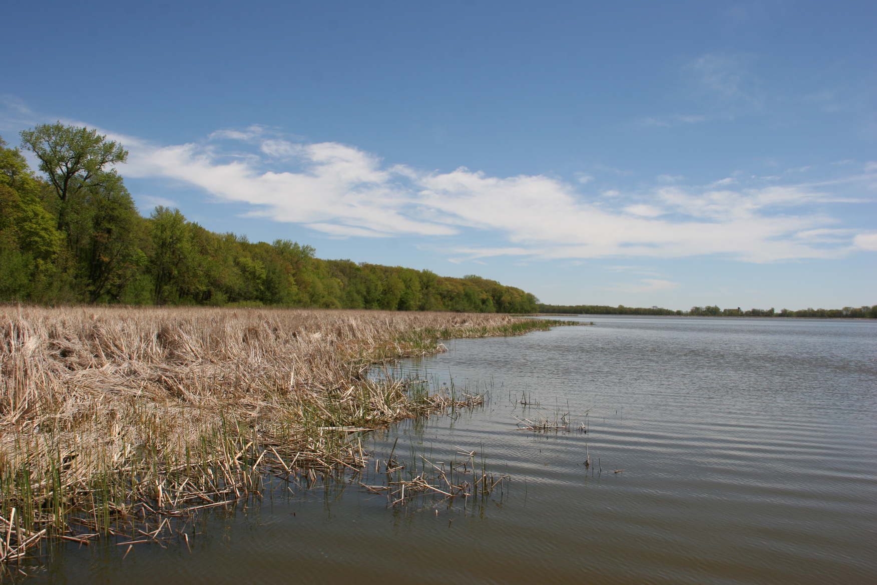
A sunset view of Lake James in Pokagon State Park, Angola, Indiana.
I’VE ALWAYS WANTED TO STAY in a lakeside resort or cabin. And you’d think, as a life-long Minnesotan, that would be part of my vacation history. Yet, the opportunity to stay lakeside never presented itself. Until May 2016.
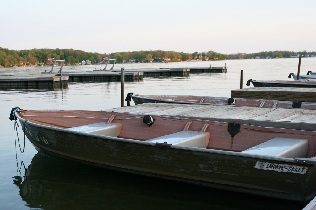
Docked at Lake James in Pokagon State Park.
And it happened not in the Land of 10,000 Lakes, but rather in the extreme northeastern corner of Indiana. Because my husband made a wrong turn, we ended up at the Potawatomi Inn Resort & Conference Center while en route from Minnesota to Massachusetts for our son’s college graduation.
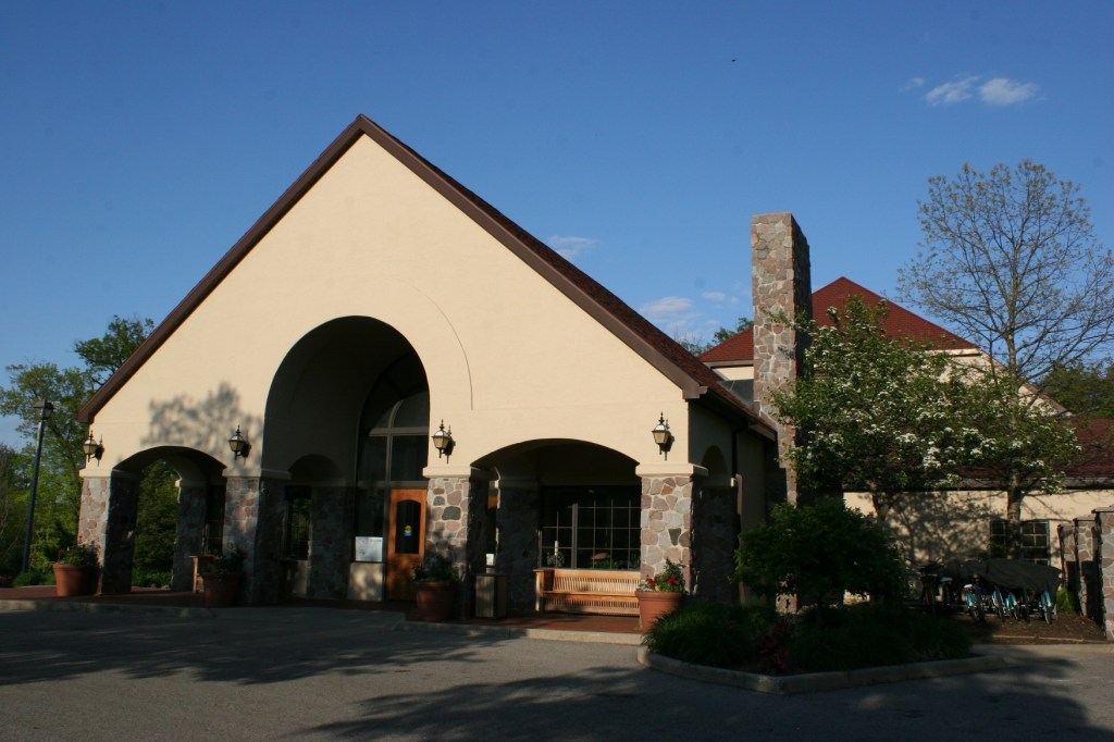
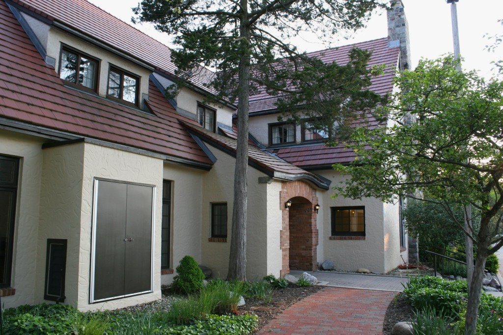
The newer section of the Potawatomi Inn, opened in 1995.
Prior to departure, we’d plotted the location of our first day stopping point—some 600 miles away in Angola, Indiana. I’d researched lodging options, including a weekday pre-season special of $59 a night at the Potawatomi Inn. I mentioned the deal to Randy, who muttered something like “What are you going to get for $60?” So I scrapped the idea and resigned myself to staying at a non-descript chain hotel along Interstate 80/90.
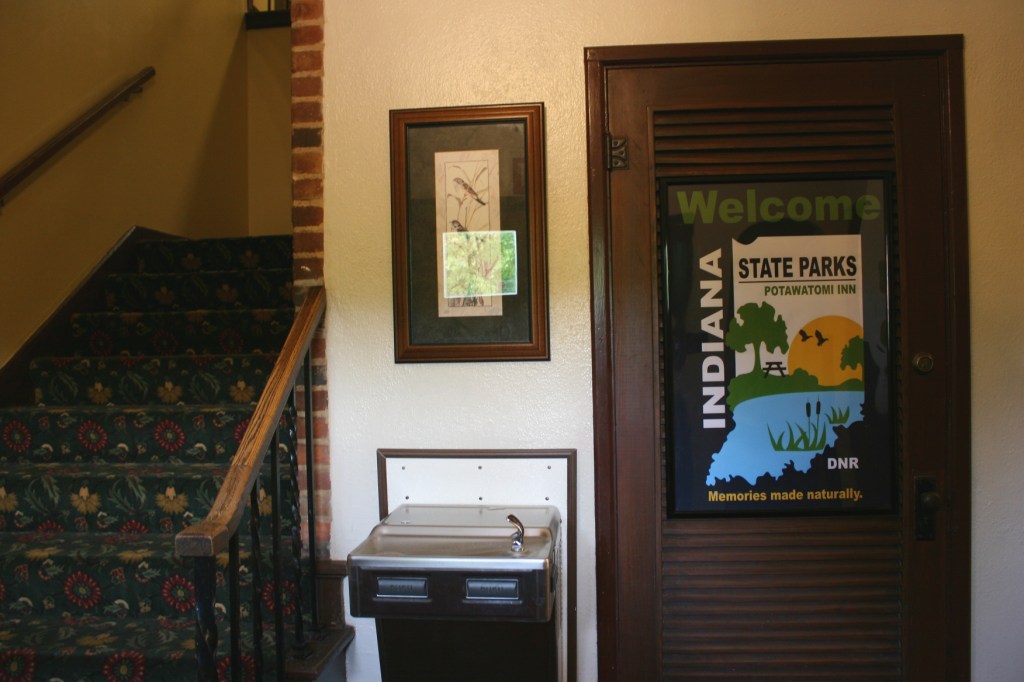
Lovely framed signage inside the entry to the historic section of the inn complex promotes Indiana state parks as “memories made naturally.”
Then came that wrong turn and we ended up directly in front of the entrance to Pokagon State Park, wherein the Inn is located. “It won’t hurt to look since we’re right here,” I suggested. “We can always leave if we don’t like it.” Randy agreed and steered the van along the tree-lined road into the park. After explaining our mission to the park ranger, we continued toward the Inn, our expectations low.
This is the original 1920s section of the historic inn with a dining room and lounge on the first floor and guest rooms on the second level.
We couldn’t have been more surprised. Rounding a turn, before us sprawled a complex of buildings perched atop a hill and edged by manicured plantings of trees, flowers and shrubs. It was beautiful to behold.
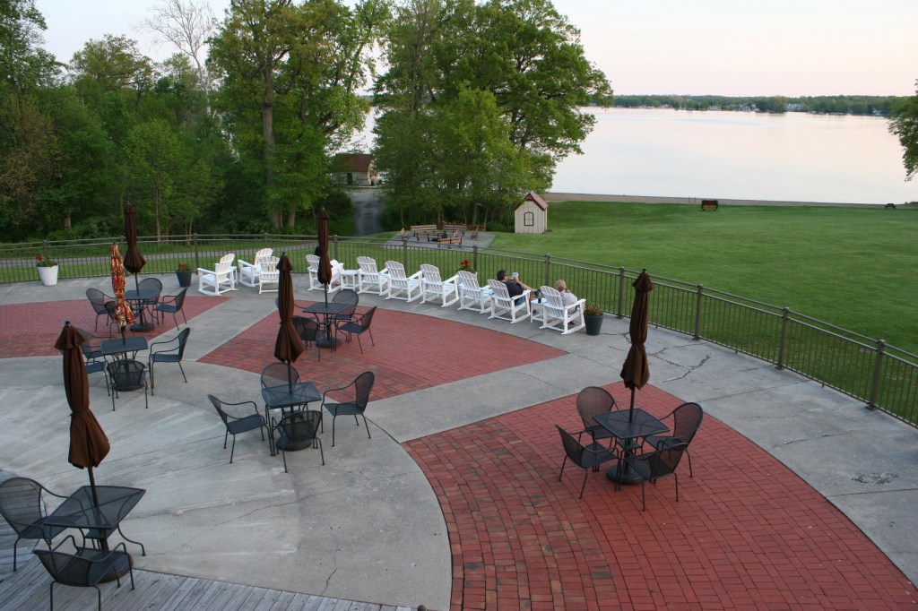
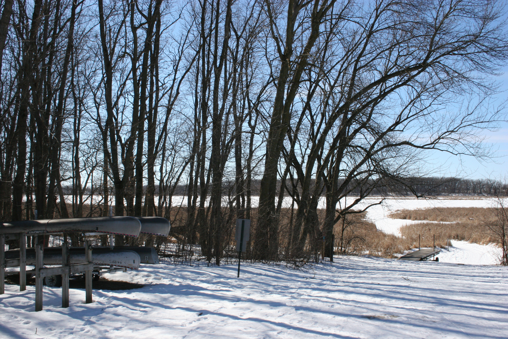
This massive sun deck overlooks Lake James, the boat rental house and the public campfire pit.
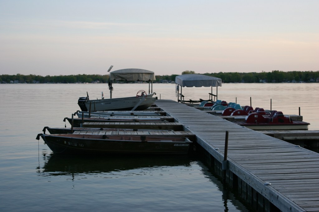
The Lake James dock at sunset.
The lovely sun deck up close as daylight fades.
And below, across a wide expanse of lawn, lay Lake James. The setting appeared like paradise to two weary travelers.
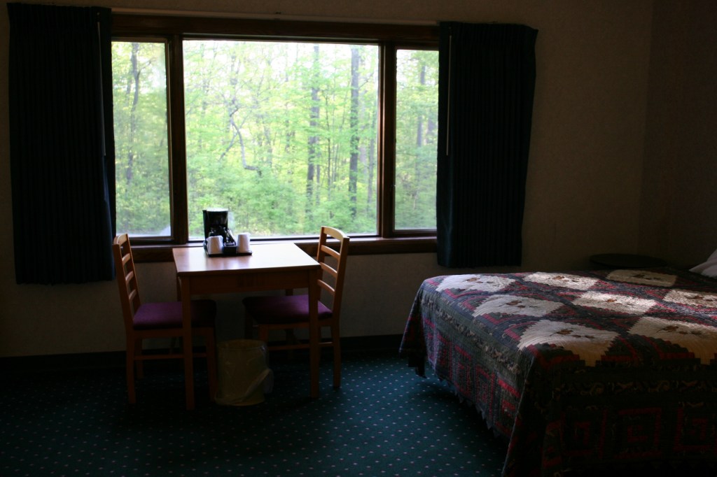
The decor is a bit dated and the bedspread showing wear. But the room was clean, the bed comfortable, the wooded setting beautiful and the location quiet. Our room was located in the new part of the inn, opened in 1995.
Still, I wasn’t convinced. How could a place this lovely, at least from the exterior, cost only $59/night? Time to check out the interior. The front desk clerk, whose name eludes me, but whose husband is a native of Delano, Minnesota, greeted us with Hoosier hospitality and suggested that, since we were from Minnesota, we should have a lake view room. Perfect. It was a nice gesture. But the room was much too cramped, the promised lake view from a small, high window. We returned to the front desk, landing in a much more spacious room with windows overlooking woods. Perfect.
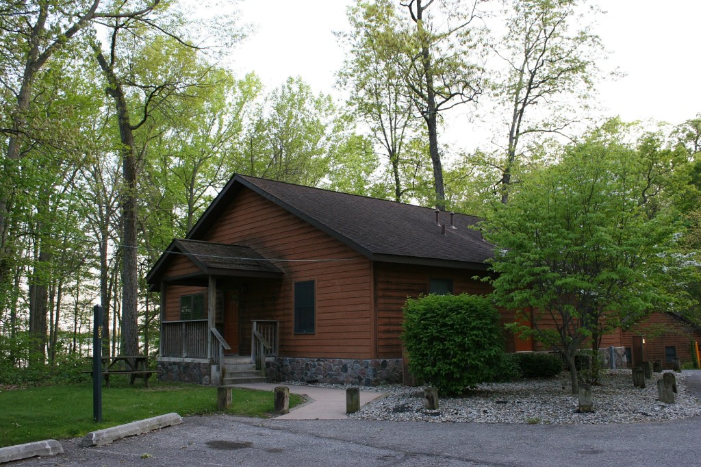
Cabins in the woods are also available for rent.
After being on the road for 10 hours, the Potawatomi Inn was precisely where we needed to stay. Away from the Interstate in a peaceful natural setting.
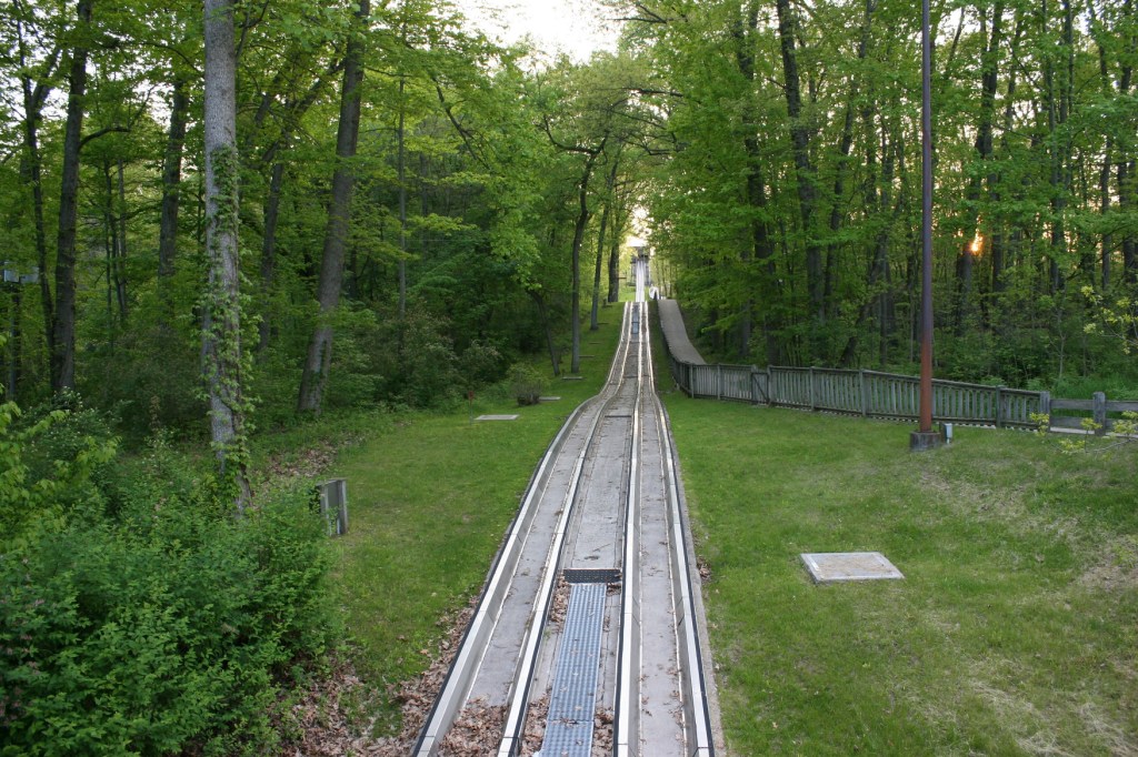
The Civilian Conservation Corps built the original wooden toboggan run in 1935. It was updated through the years to a refrigerated slide.
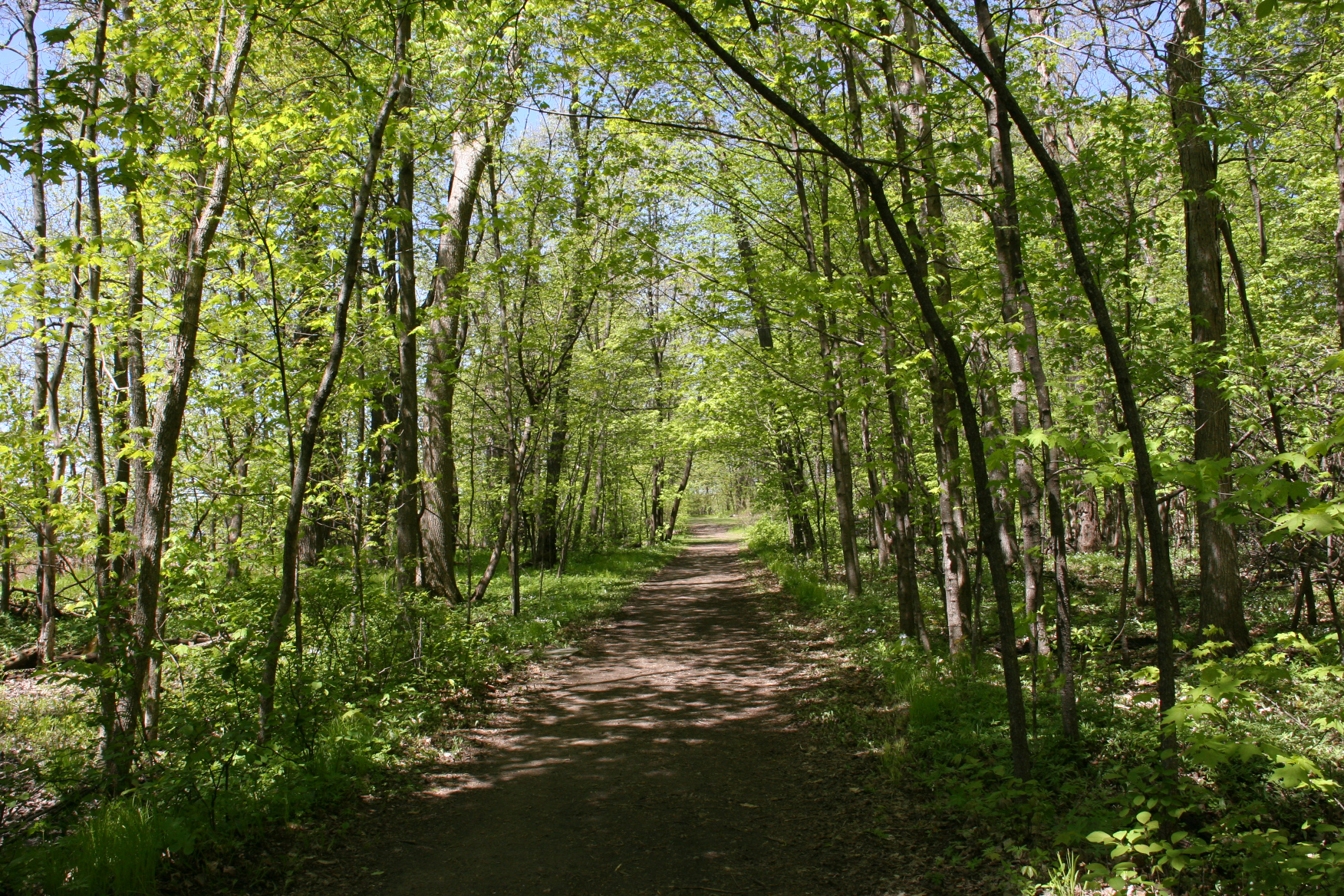
We walked to the lake and then followed a trail to the park’s historic toboggan run.
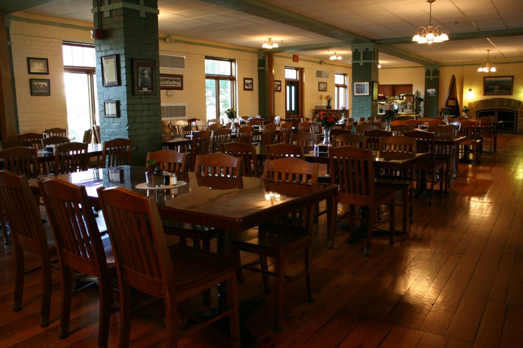
The historic dining room, nearing closing time, was a quiet place to dine on a weekday evening in late May.
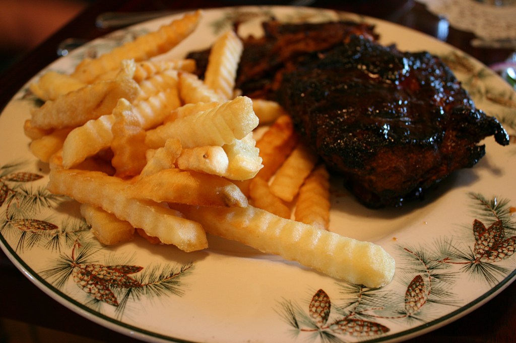
We shared a dinner of barbecued ribs with enough for both of us plus left-overs. I love the pine cone design on the over-sized plates.
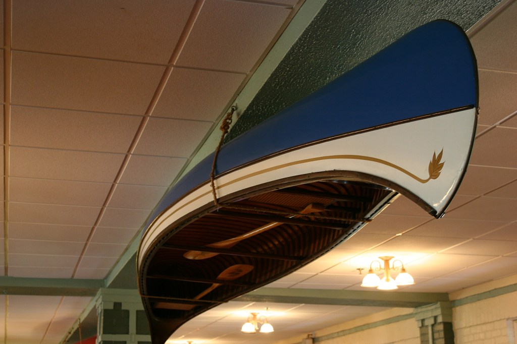
Suspended from the dining room ceiling.
We explored the buildings, dined in an historic dining hall. And then, when evening faded to dark, we joined a young couple around a campfire. From Elkhart, an hour to the west, they, too, were Hoosier friendly. As we talked, we learned what brought them to the Potawatomi Inn. Cancer. Tyler was taking a break from chemotherapy, his treatment set to resume four days later. He and Kelsey—ironically once an oncology nurse now working in labor and delivery—inspired us with their upbeat attitudes, their thankfulness for the good prognosis, a 95 percent cure rate for Tyler’s cancer.
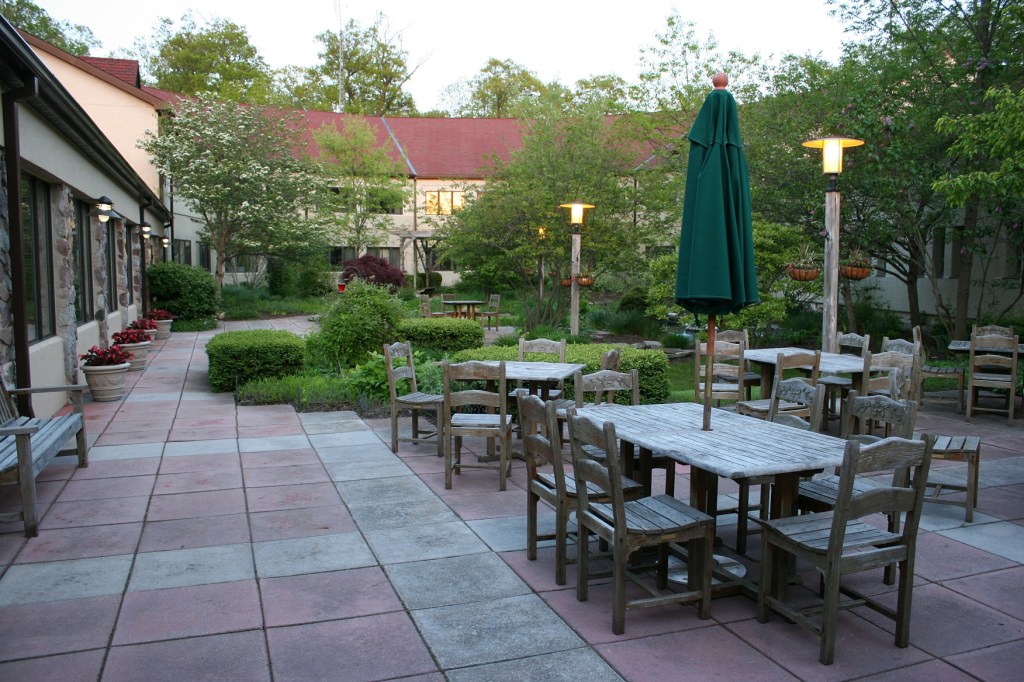
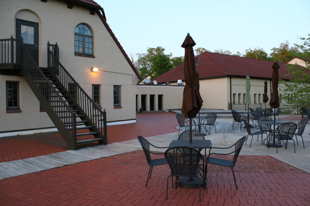
A courtyard filled with greenery and with a water feature offers a lovely place to dine outside the Courtyard Cafe.
Now, as I reflect on the wrong turn that led us to the Potawatomi Inn, I am especially grateful. We spent our first night on the road in a tranquil setting. We met some truly wonderful Hoosiers. And I fulfilled my wish to stay at a lakeside resort.
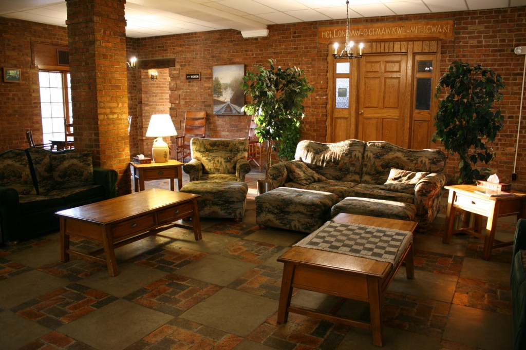
The Lonidaw Lounge just outside the historic dining room.
But what really clinched my appreciation for this resort was my husband’s response to a question asked by a friend about a favorite part of our Minnesota to Massachusetts trip. “The Potawatomi Inn,” Randy answered. I agree.
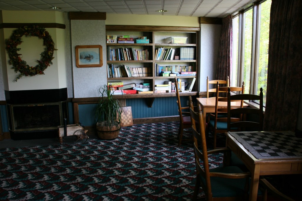
The library is well-stocked with books, board games and puzzles. You’ll also find a pool, spa and sauna; activity, exercise, video and game rooms; a conference room; and a gift shop on-site.
FYI: The low rate we got in May 2016 was a pre-season weekday special. Don’t expect a deal this good during the busy summer months. And since this rate is from two years ago, expect that rates have likely increased. I’d highly recommend staying here. It was a great option to a chain hotel and in the most peaceful of settings.
© Copyright 2016 Audrey Kletscher Helbling


Recent Comments