Minnesota Prairie Roots

Writing and photography by Audrey Kletscher Helbling

Cornfields into forever in the southern Minnesota countryside July 29, 2026

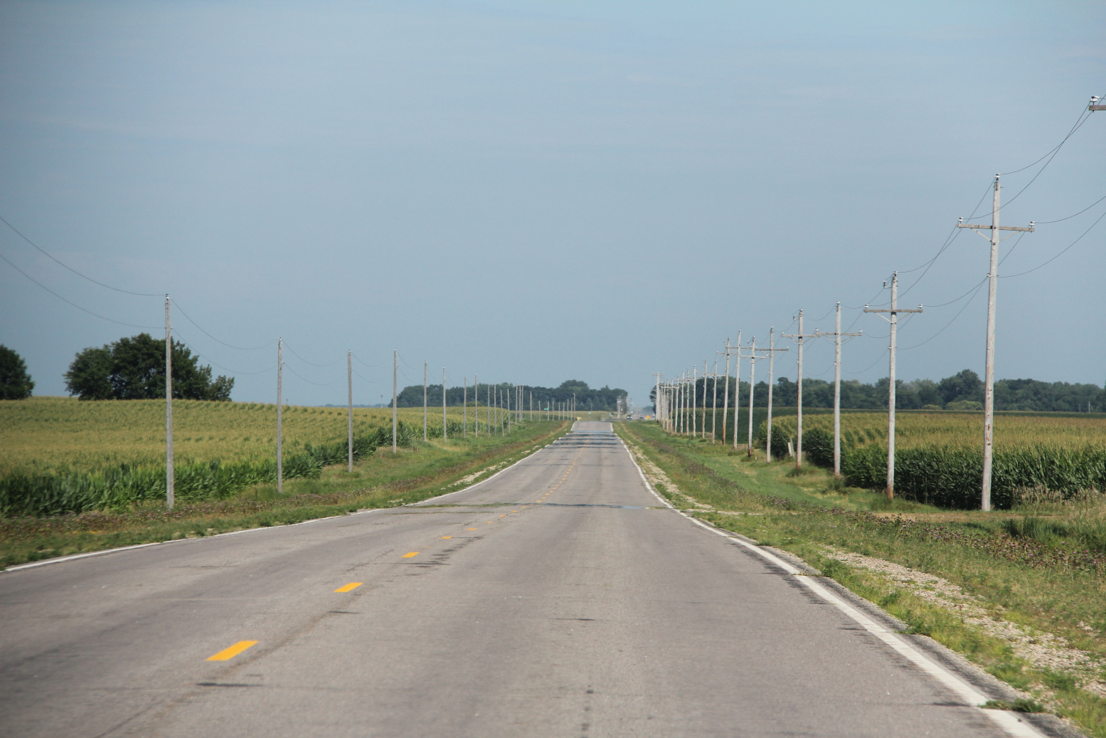
Acres and acres of corn grow in fields along this county road near Delhi in southwestern Minnesota. (Minnesota Prairie Roots copyrighted photo July 2026)

SEEMINGLY ENDLESS FIELDS of tasseling corn stretched before us. Row upon row upon row of corn flanking the roadways along with soybeans and the occasional sugar beets. All three crops define the southern Minnesota landscape in July. But corn is decidedly king.

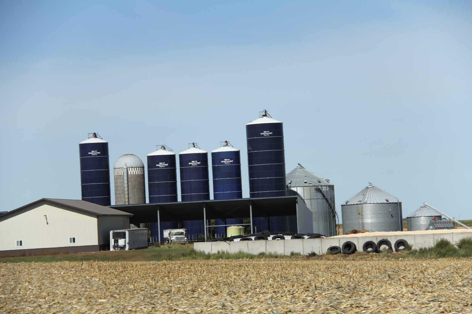
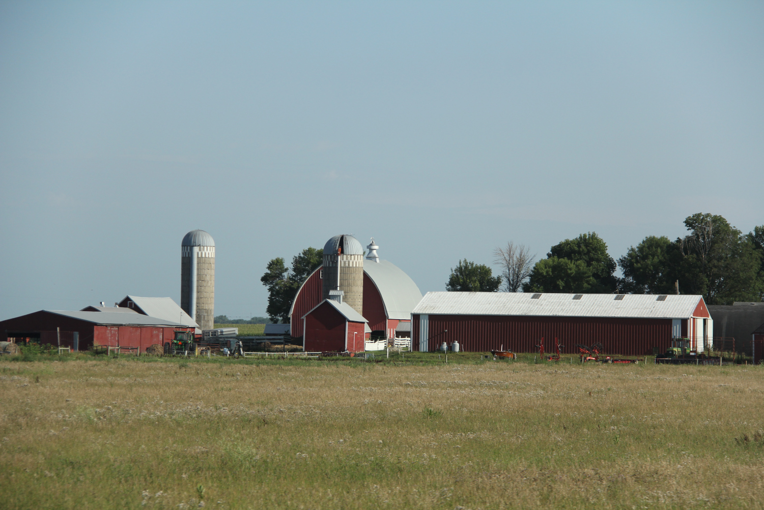
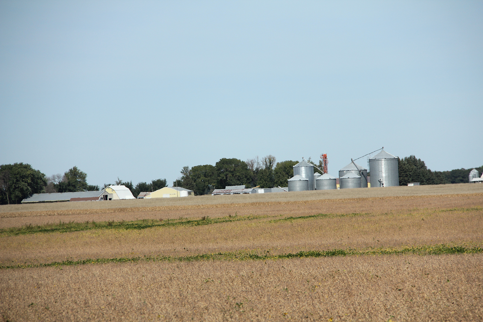
A farm site along U.S. Highway 14 near Janesville. (Minnesota Prairie Roots copyrighted photo July 2026)

As Randy and I traveled from Faribault to the Kletscher family reunion in Echo in Yellow Medicine County on the last Sunday of July, we observed the crops. Most looked good. But the farther west we went, we began to notice signs of stress in the corn.

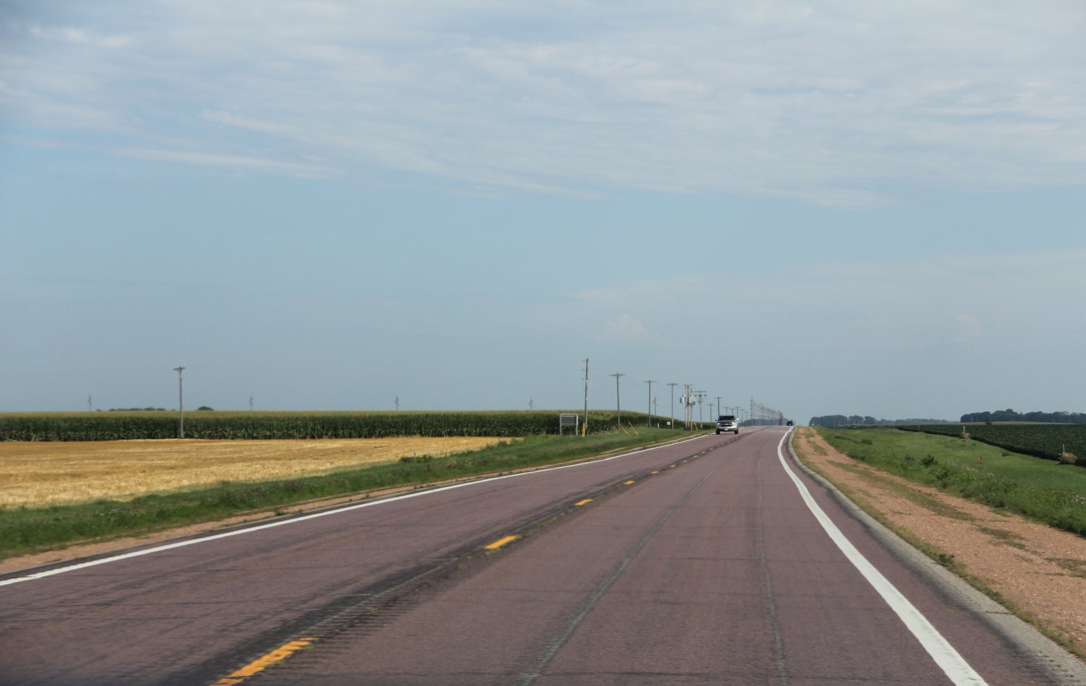
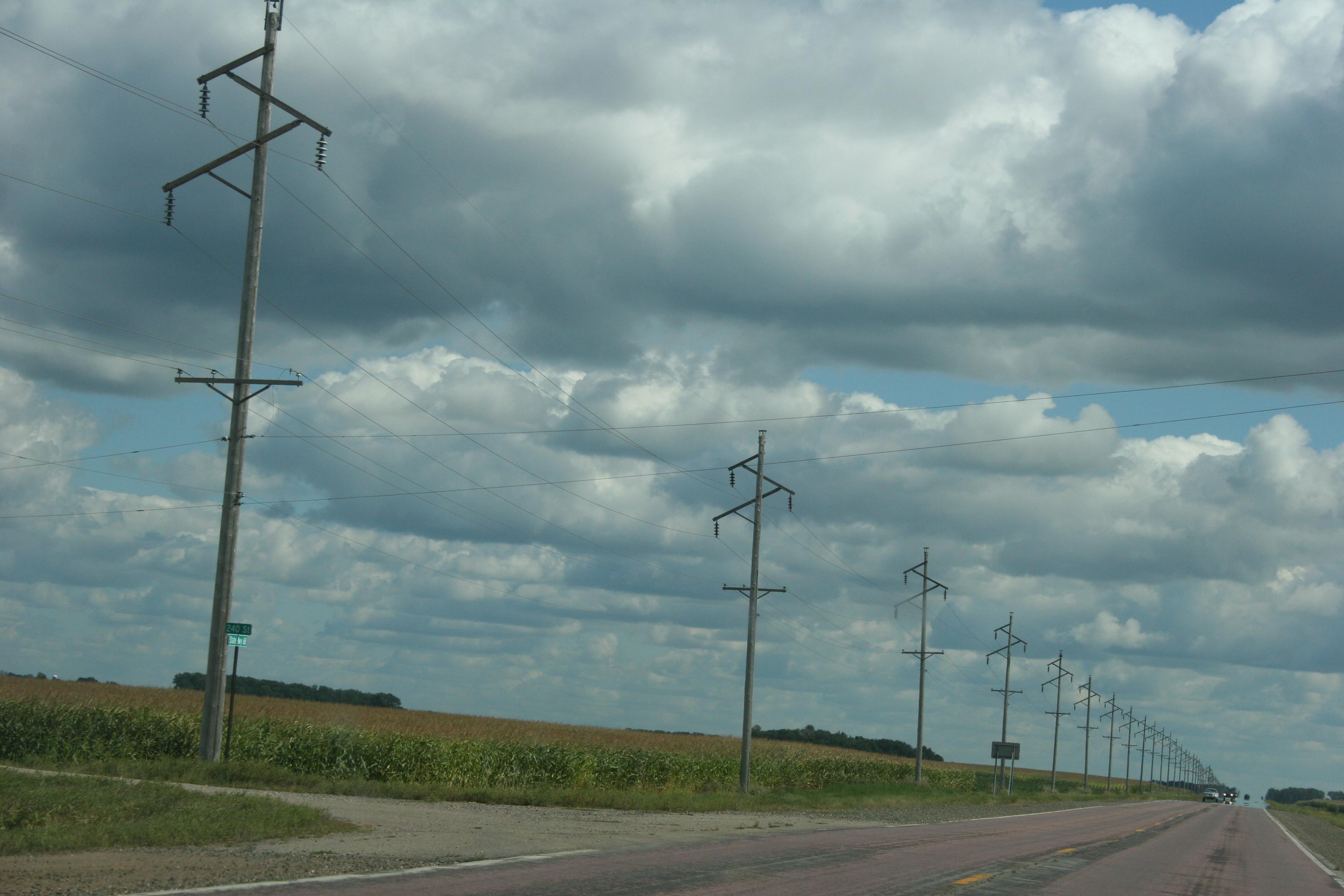
Driving along State Highway 68 by Morgan in eastern Redwood County. (Minnesota Prairie Roots copyrighted photo July 2026)

A July 21 drought monitoring report from the Minnesota Department of Natural Resources confirmed our observations with conditions listed as abnormally dry in my home county of Redwood and neighboring counties. Randy and I, even decades removed from the farm, can still accurately assess crops.

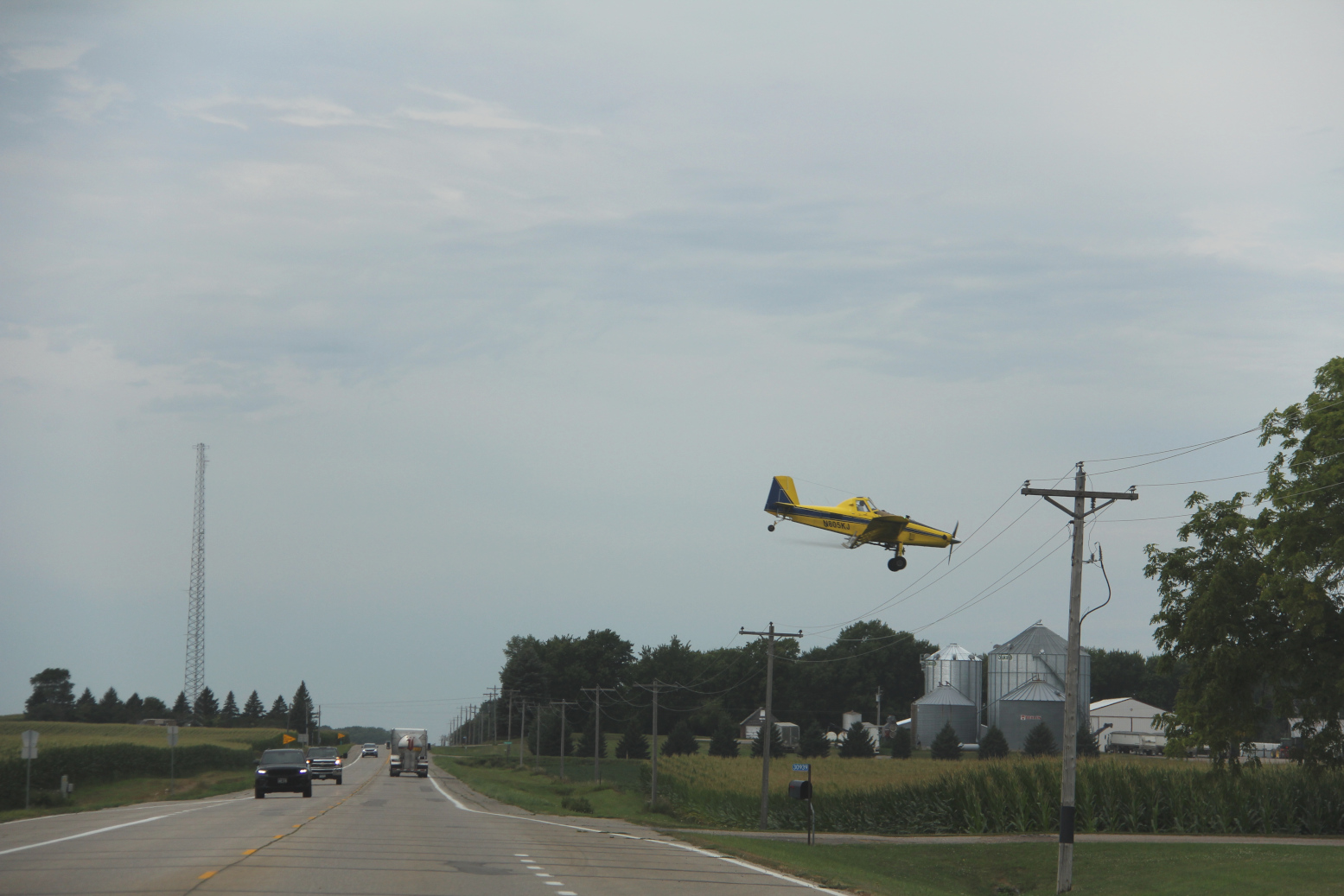
Spraying a cornfield just west of Redwood Falls. (Minnesota Prairie Roots copyrighted photo July 2026)

To the west of Redwood Falls along Minnesota State Highway 19, we watched a bright yellow crop duster swoop low over the road in front of us, barely clearing the power lines to drop chemicals onto a cornfield. It was thrilling to watch the pilot’s daring descent while simultaneously wondering what the plane was unleashing upon the land.

Earlier, outside New Ulm, I saw a woman walking beans, meaning she was walking through a soybean field eradicating weeds by hand, a memory-familiar task. I walked a lot of beans during my youth. No chemicals used, only my hands and/or a hoe.

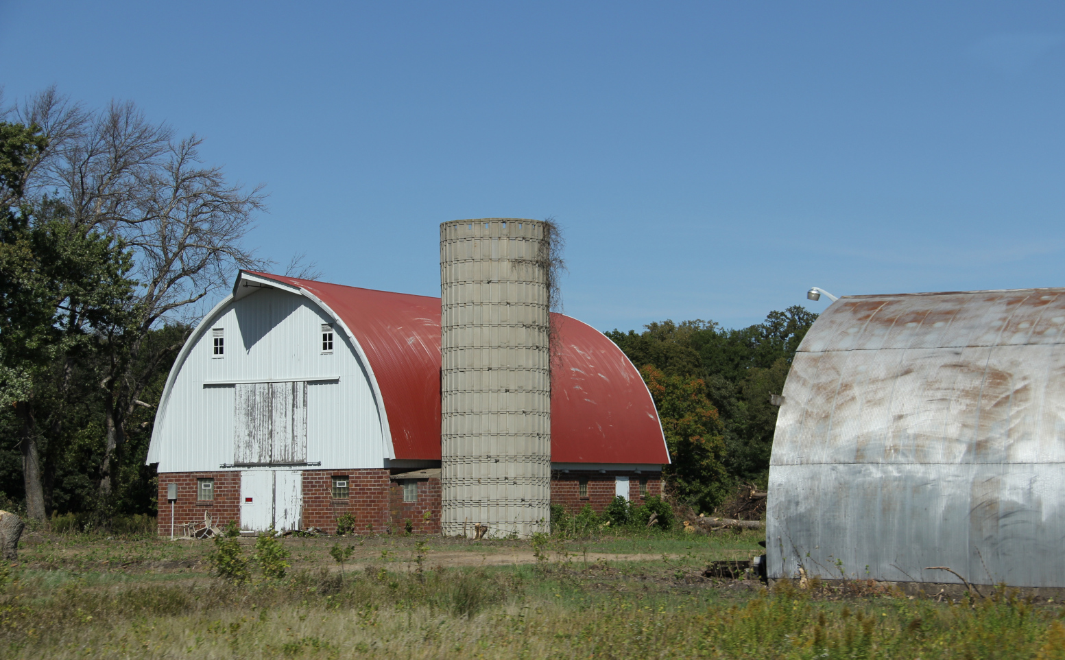
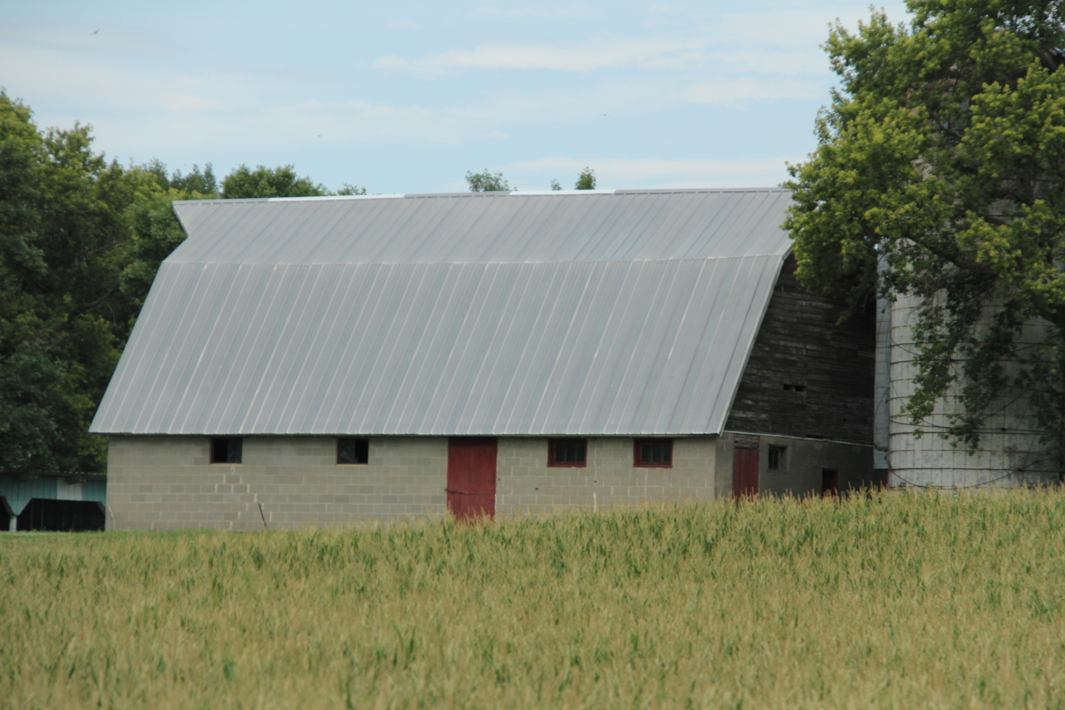
Corn surrounds this barn along State Highway 19 west of Redwood Falls. (Minnesota Prairie Roots copyrighted photo July 2026)

From inside the cool, air conditioned van, Randy and I pressed onward, sheltered from the sweltering heat and humidity of the July day. We passed massive barns swallowed by cornfields. So much corn. Shortly before noon we reached our destination, the Echo Community Center.

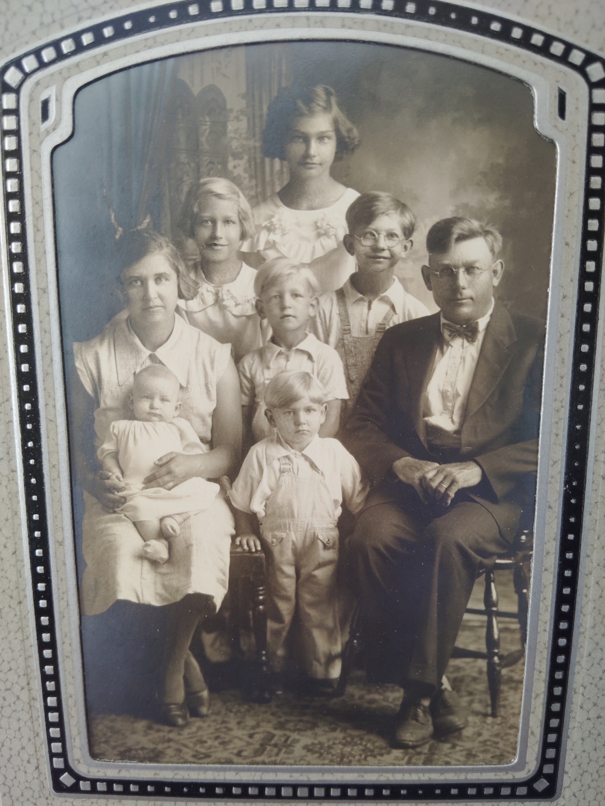
This 1936 photo displayed at the reunion shows my grandparents, Henry and Ida Kletscher, with six of their children. My dad, Elvern, is smack dab in the middle, second row. Others include the oldest, Elaine, then Elvira, Mike, Harold and baby Clarence. (Photo studio unknown)

After several hours of food, conversation and sharing memories with extended family, we were on the road again heading the 130 miles back home to Faribault.

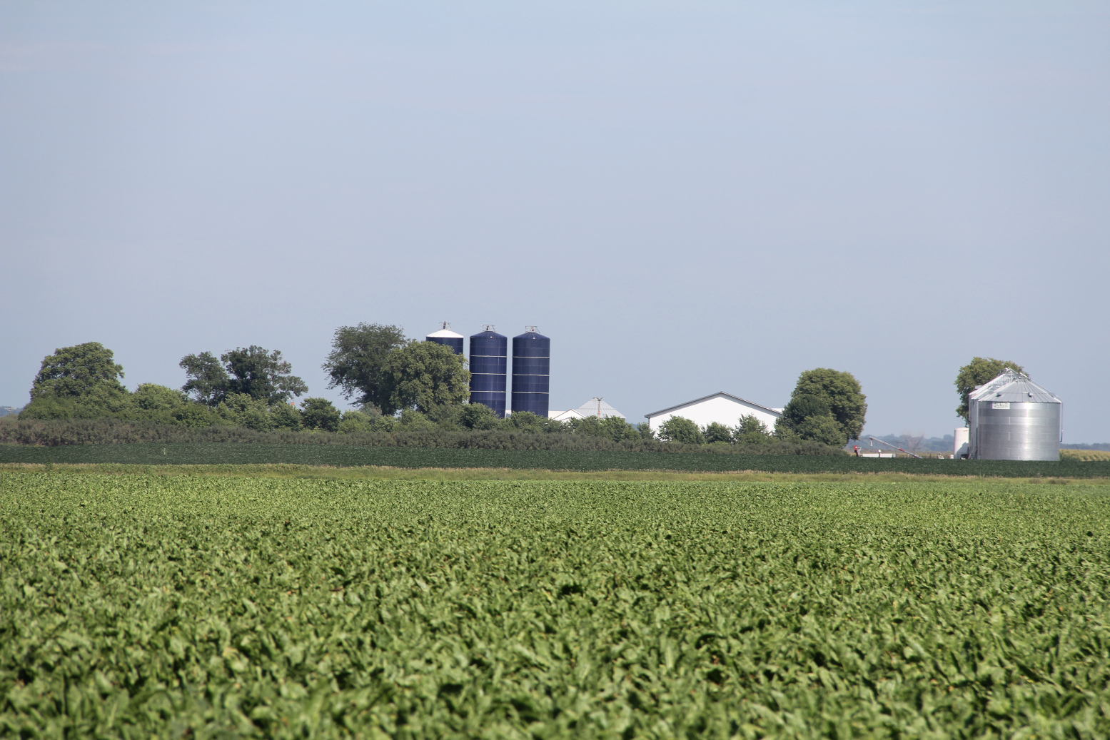
This farm site sits near Delhi. Those are sugar beets growing in the foreground. (Minnesota Prairie Roots copyrighted photo July 2026)

The temperature had only risen, grown more stifling, more oppressive. Temp rising. Corn rising. Farm sites rising like islands in an ocean of crops.

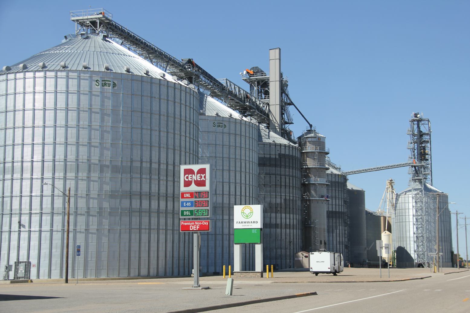
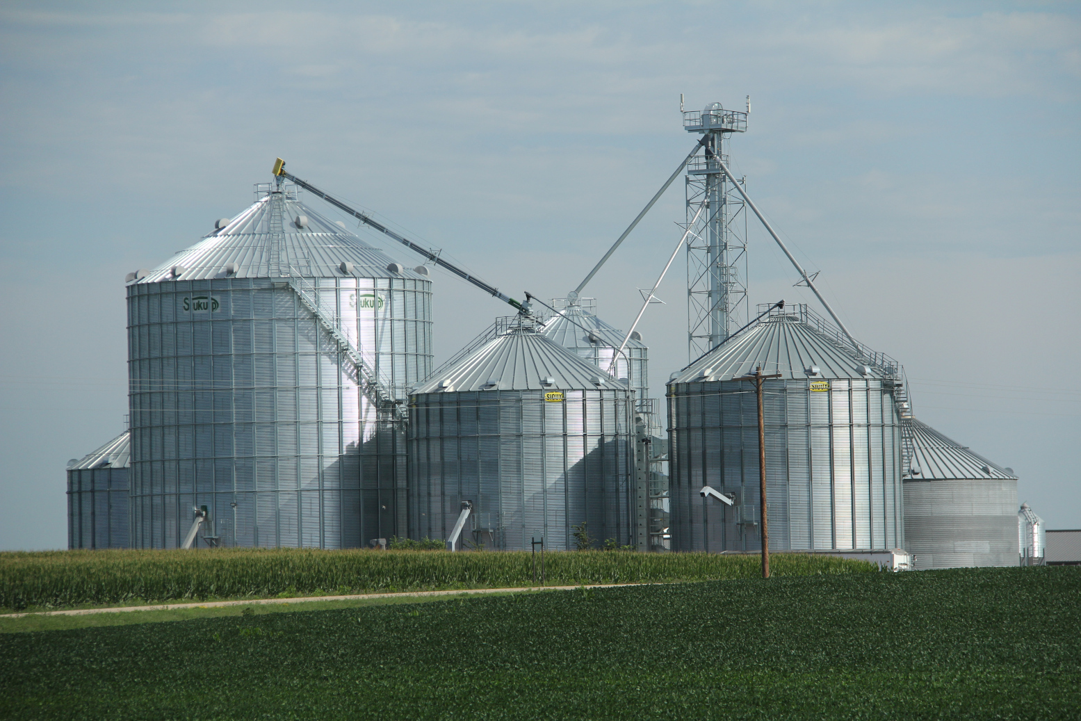
Grain bins west of New Ulm will soon hold the harvest. (Minnesota Prairie Roots copyrighted photo July 2026)

This is rural southern Minnesota, in the thick of the growing season. The promise of a bountiful harvest measured in growth, rainfall, and hail and windstorms avoided.

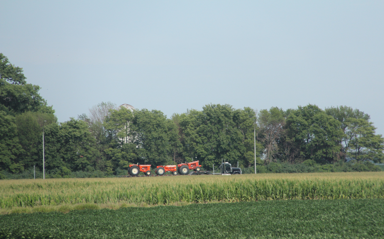
Transporting Allis Chalmers tractors from a tractor show. (Minnesota Prairie Roots copyrighted photo July 2026)

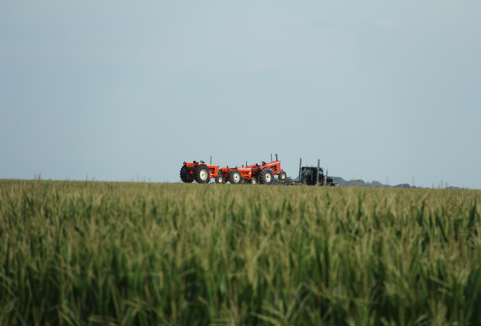
Just north of Sleepy Eye along State Highway 4, a semi truck hauled three Allis Chalmers tractors returning, said Randy, from the Orange Spectacular (Allis Chalmers Tractor Show) in Hutchinson. I picked up my camera, zoomed in and snapped two images, the second with the tractors appearing to drive atop a cornfield.

From this camera perspective, the tractors appear to be driving on the corn. (Minnesota Prairie Roots copyrighted photo July 2026)

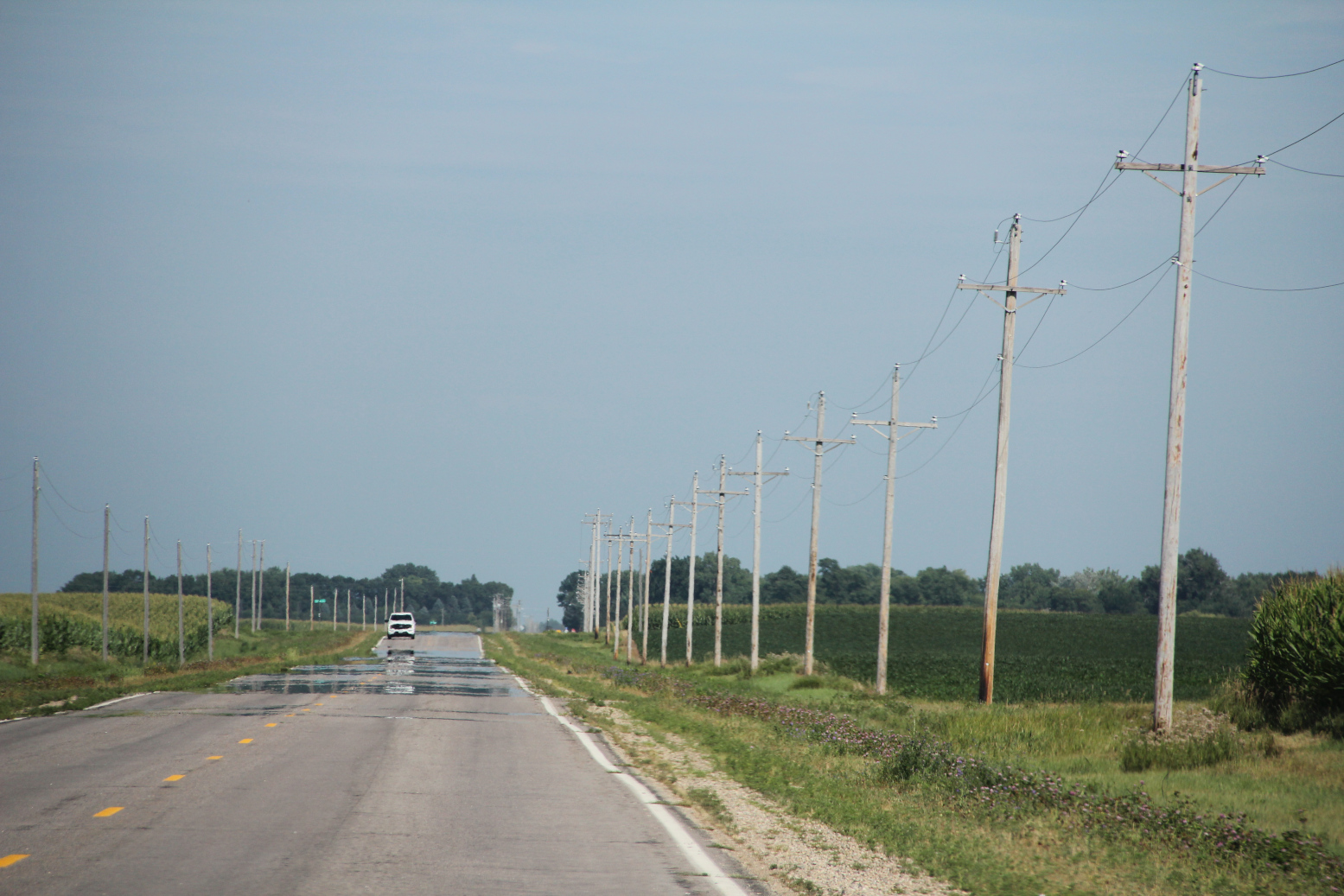
It was only an illusion, similar to the mirage of water slicing across the roadway on this hot summer day.

That’s not water on the road, only a mirage. (Minnesota Prairie Roots copyrighted photo July 2026)

Had we stuck around into the evening and paused beside a cornfield, we likely would have heard the corn growing. There’s scientific truth underlying that statement.

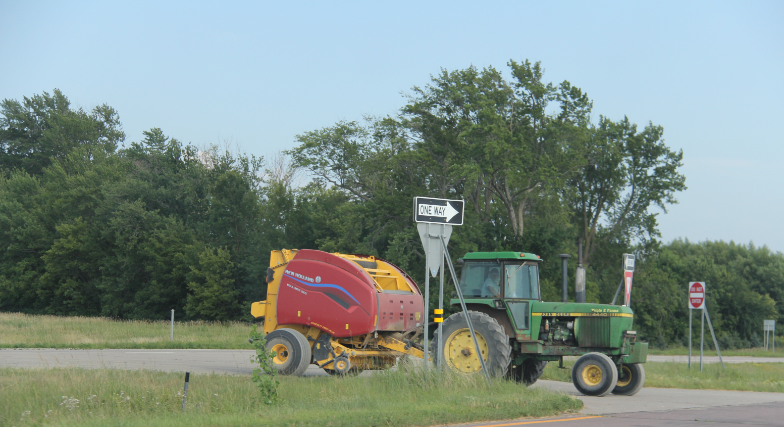
A tractor and baler wait along U.S. Highway 14 between Nicollet and Mankato. (Minnesota Prairie Roots copyrighted photo July 2026)

The adage of “make hay while the sun shines” also rings true. I noticed several farmers baling hay on this hot and humid July afternoon. Farming doesn’t wait for cooler weather. Just like corn continues to grow, stretching across the rural southern Minnesota landscape seemingly into forever.

© Copyright 2026 Audrey Kletscher Helbling


Spring flooding in my home county of Redwood April 30, 2018

Filed under: Uncategorized — Audrey Kletscher Helbling @ 9:57 AM
Tags: , , , , , , , , , , ,

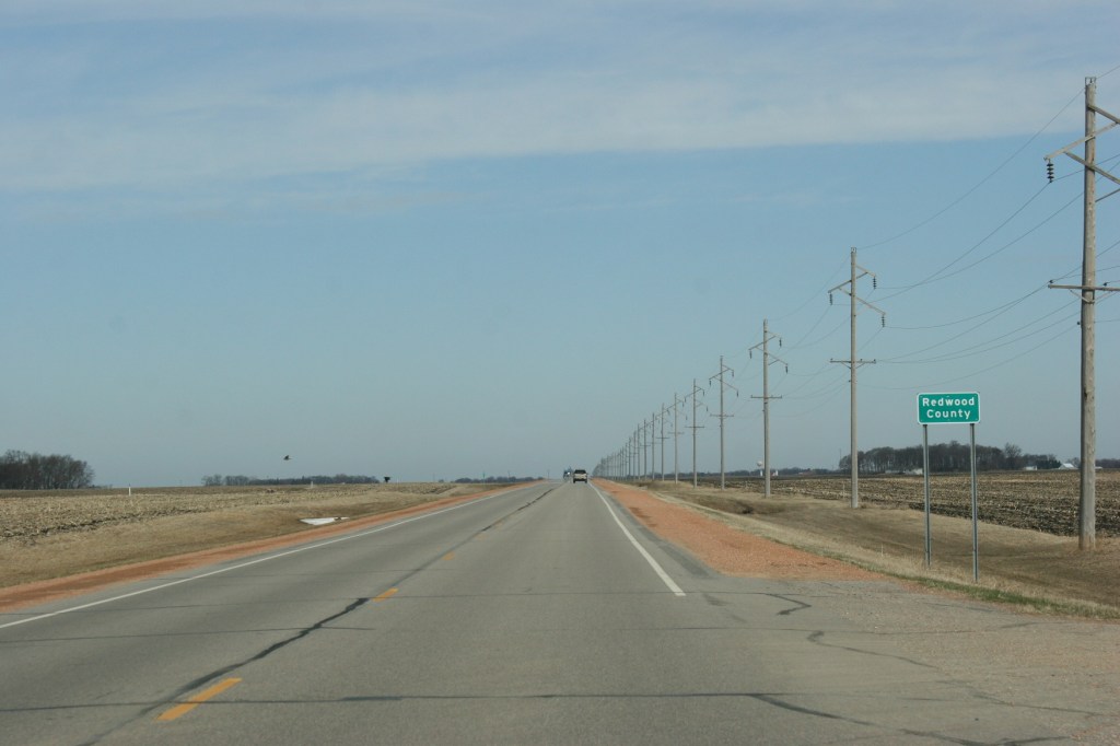
Entering my home county of Redwood along Minnesota State Highway 68 southeast of Morgan.


SEVERAL DAYS AGO, traveling back to my hometown of Vesta, I noted snow sculpted in some road ditches. This late in April, the scene was unexpected. But then a blizzard raged across southern Minnesota only weeks earlier. And that road ditch snow, hard-packed by prairie winds, had yet to melt in the then 60-degree temps.


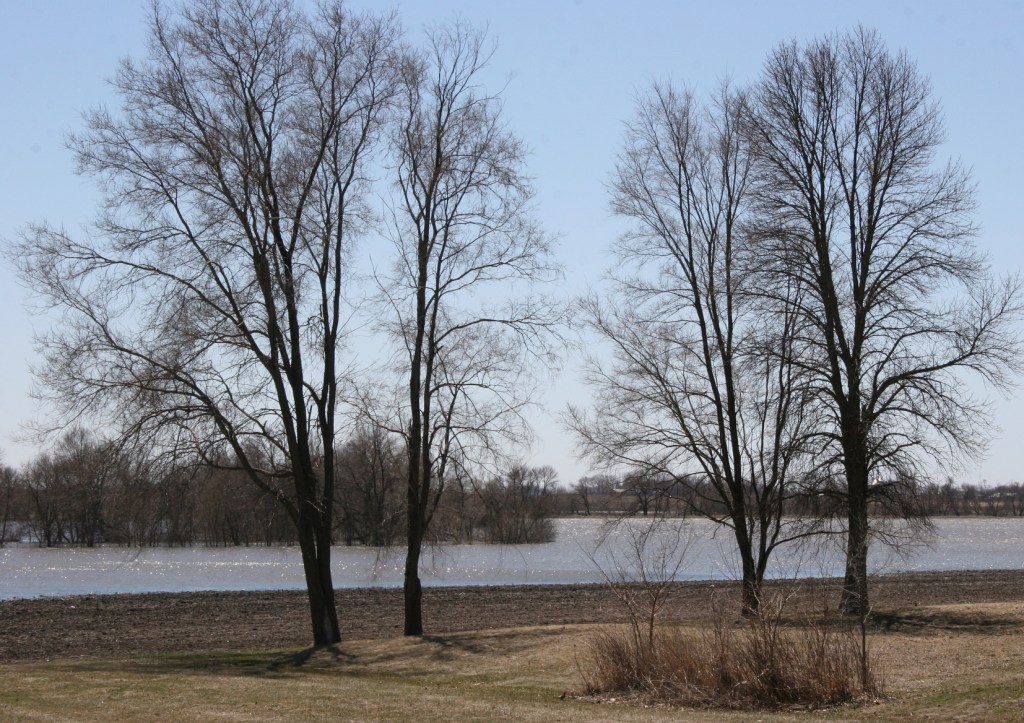
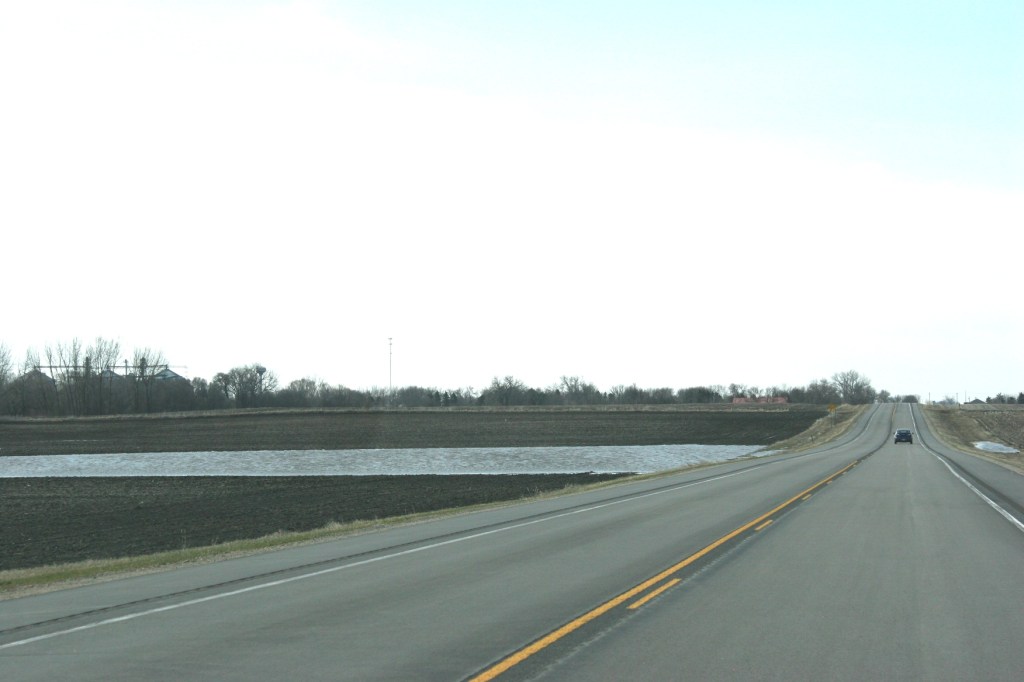
Nearing Vesta (left in photo) along Minnesota State Highway 19, I saw more and more flooding of farm fields.


A view of the flooding from Highway 19 just northwest of Vesta.


And just across the highway, more flooding.


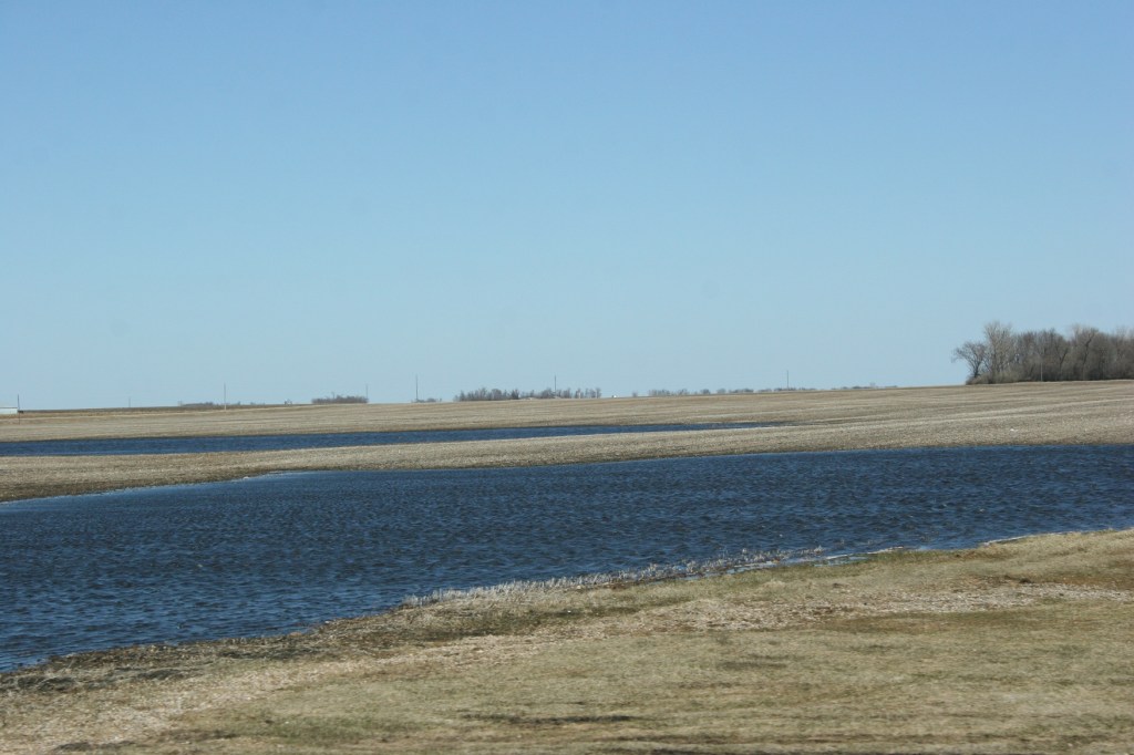
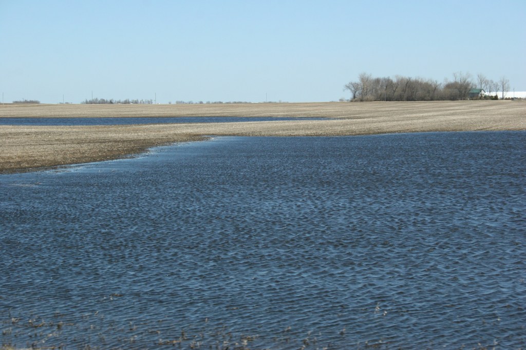
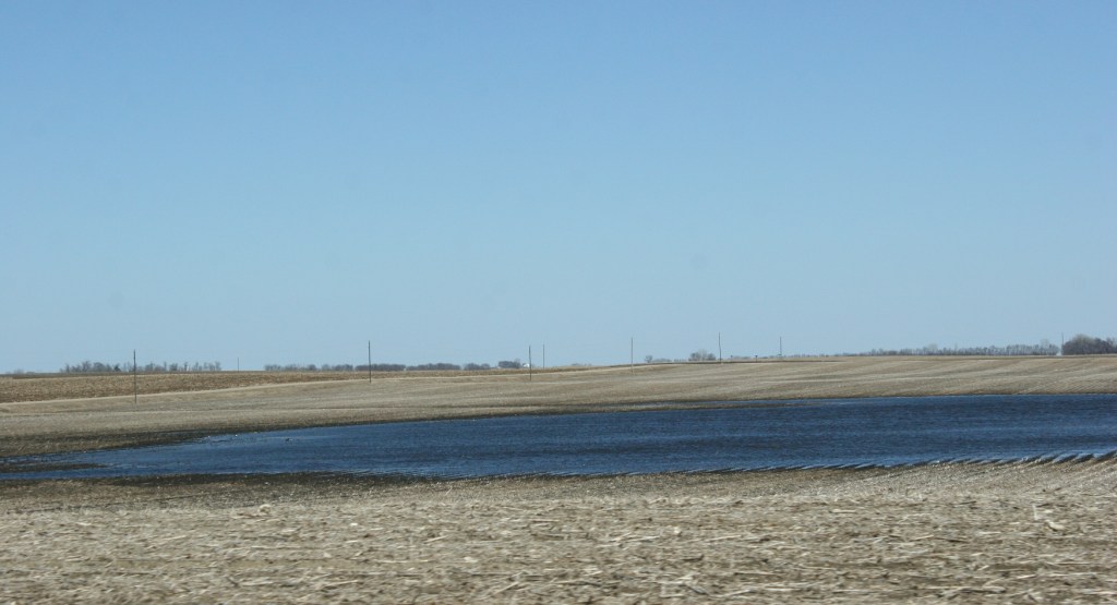
Beyond the snow, though, I noticed water setting in farm fields. The late significant snowfalls and plugged culverts and tiles likely contributed to the collection of snow melt water in many low-lying areas. It would be awhile, I surmised, before farmers would be working this land.


The deep blue of those temporary ponds appeals to the poet in me. I see lines of poetry in splashes of blue across an otherwise drab landscape stubbled by remnants of last year’s harvest.


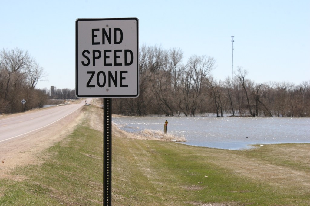
The Redwood River, flooded over its banks, along Redwood County Road 10 heading south out of Vesta. That’s my home farm in the distance. There have been times when the river flooded across the roadway.


A temporary lake of floodwaters borders my hometown of Vesta.


Flooded farmland along the Redwood River on the edge of Vesta.


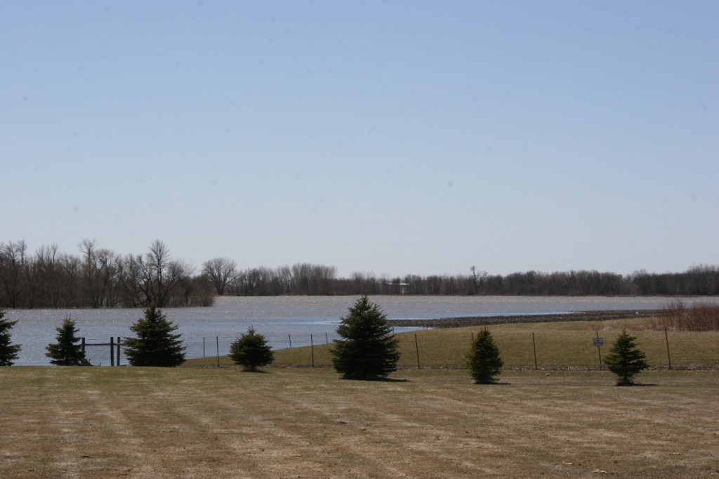
On the south edge of Vesta, within view of the Redwood River, a lake formed as the river overflowed its banks and flooded surrounding farm land. The town itself was in no danger with a hill—rare as they are on the prairie—bordering that end of town.


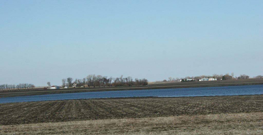
Water spreads easily across the almost tabletop flat landscape, here just north of Vesta.


There’s something about floodwaters that draws my appreciation, causes me to stand and just look at the river and recognize its power.


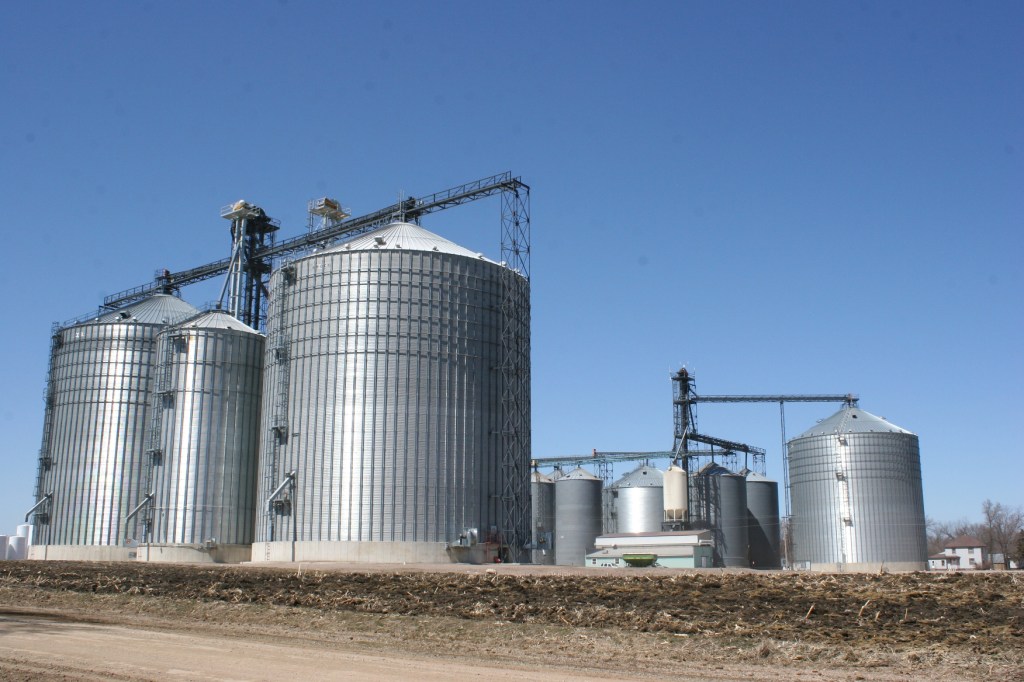
These grain bins sit a gravel road and short stretch of land away from the floodwaters of the Redwood River in Vesta.


I realize that soon (maybe even as I write) this flooding will be another memory as farmers ready for planting and, in several months, the harvest.


© Copyright 2018 Audrey Kletscher Helbling
 

Traveling back home to the southwestern Minnesota prairie September 5, 2011

Filed under: Uncategorized — Audrey Kletscher Helbling @ 9:07 PM
Tags: , , , , , , , , , ,

The land and sky stretch out before us as we drive along Minnesota Highway 67 between Morgan and Redwood Falls in southwestern Minnesota at sunset Friday.

MY HUSBAND, SON and I traveled this weekend to my hometown of Vesta in southwestern Minnesota, the place that inspired the name for this blog, Minnesota Prairie Roots.

My roots run deep into this land, into the soil of Redwood County where I grew up on a dairy and crop farm. Although I left the farm 38 years ago at age 17, the fall after graduating from Wabasso High School, I still consider this home. It is the place that shaped who I became as a person and a writer.

It is the land that still inspires me in my writing and my photography.

Most Minnesotans don’t give this area of the state a second thought. In fact, I have discovered in my nearly 30 years of residing in Faribault, in southeastern Minnesota, that many residents of my community don’t know what lies west of Mankato. They think the state ends there.

That frustrates me to no end. In trying to explain the location of  Vesta, I typically say “half way between Redwood Falls and Marshall on Highway 19.” Usually I get a blank stare. What more can I say?

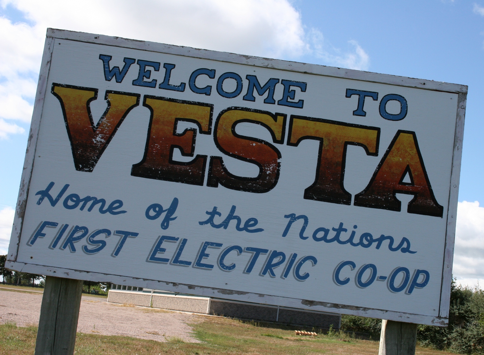
The sign that marks my hometown, population around 350 and home of the nation's first electric co-op.

They consider my hometown in the middle of nowhere. I don’t disagree with that. But I like the middle of nowhere. The prairie possesses a beauty unlike any other. The wind. The sky. The acres and acres of cropland punctuated by farm places and small towns appeal to me. They quiet my soul, uplift my spirit, connect to me in a way that I can’t explain.

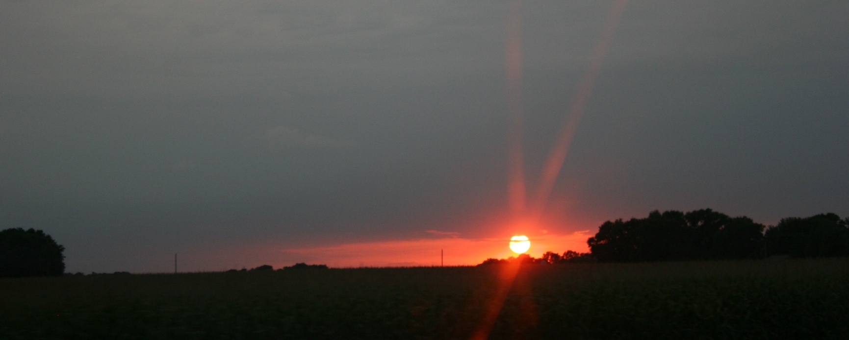
This trip we were driving west in the evening, into the sunset. The ribbon of roadway between Morgan and Redwood Falls stretched into seeming infinity under a sky banded by clouds.

The sun sets as we travel along Minnesota Highway 67 northwest of Morgan toward Redwood Falls.

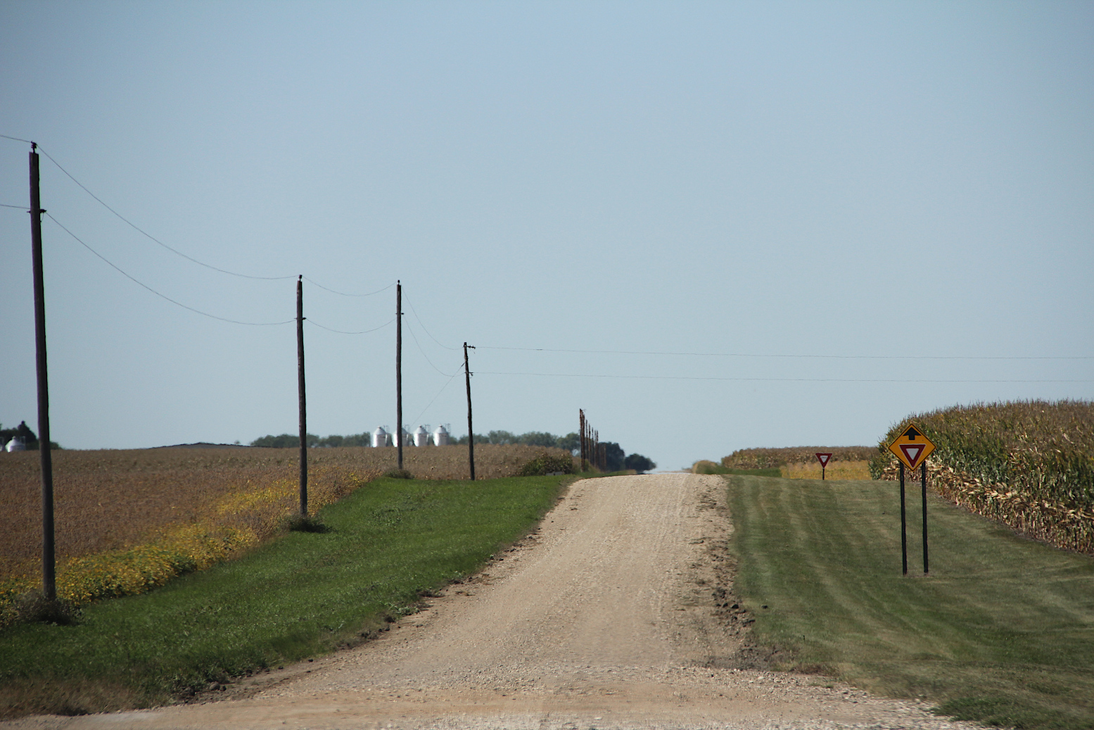
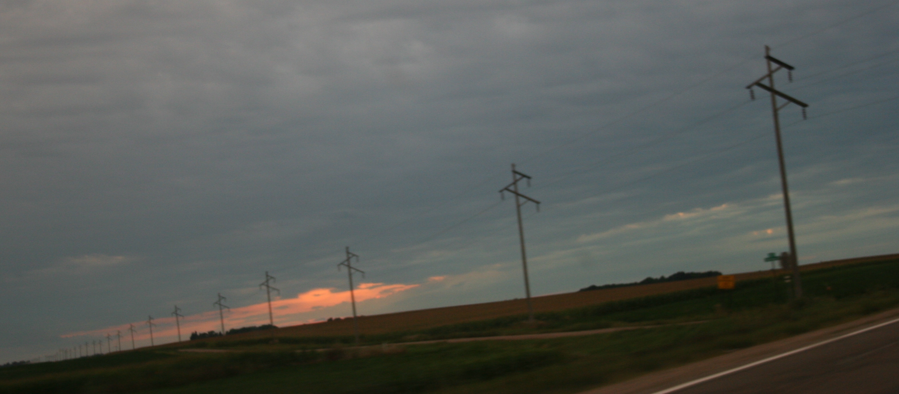
This stretch of highway between Morgan and Redwood Falls seems to go on forever, as do the utility poles.

It was beautiful. Absolutely beautiful.

What more can I say? I love my southwestern Minnesota prairie, the place that will always be my home, no matter where I live.

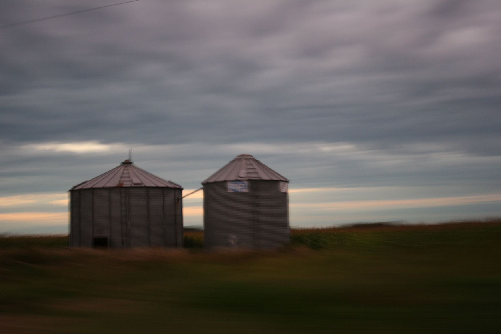
I prefer grain bins to skyscrapers. I shot this image as we traveled northwest of Morgan at sunset Friday.

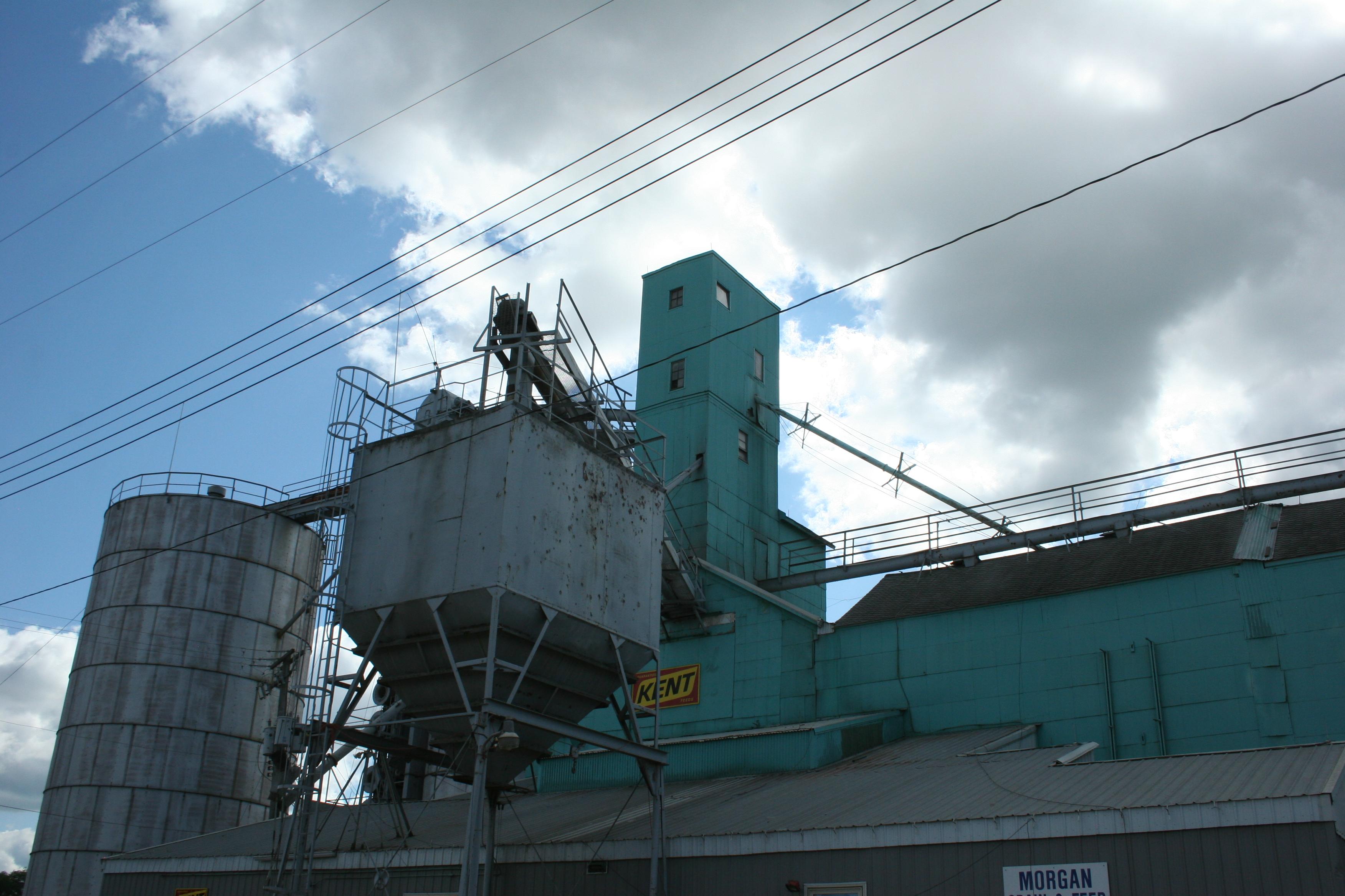
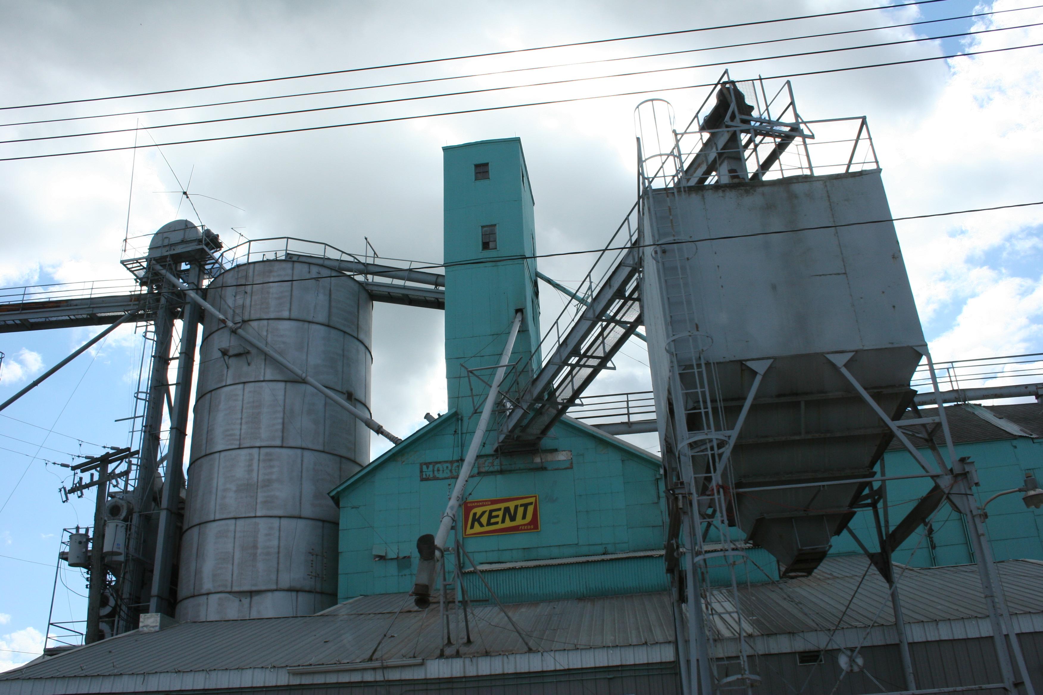
My son told me I take a picture of this grain elevator complex every time we drive through Morgan. He is probably right. But I don't care. I see something different each time, each season, in which I photograph it.

My second shot of the elevator in Morgan, taken from the car while driving back to Faribault Sunday afternoon.

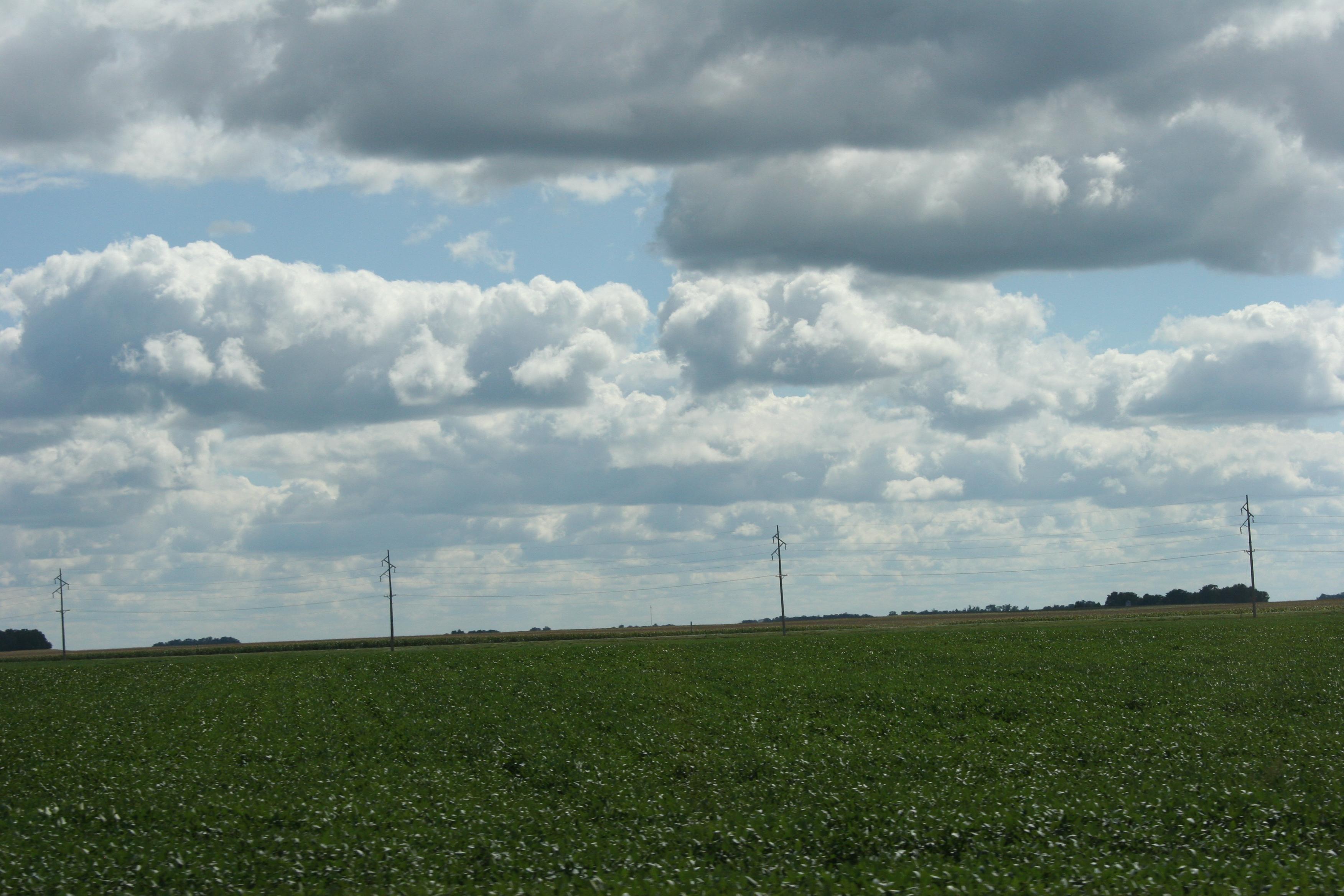
This trip I seemed to focus my camera on utility poles, which go on and on across the flat expanse of the prairie. I find a certain artistic appeal in this scene southeast of Morgan.

Soybean fields, pictured here, and corn fields define this rich farm land.

© Copyright 2011 Audrey Kletscher Helbling