Minnesota Prairie Roots

Writing and photography by Audrey Kletscher Helbling

An unexpected prairie place: “Little Yellowstone of Minnesota” June 4, 2026

Ramsey Falls in Redwood Falls. (Minnesota Prairie Roots copyrighted photo May 2026)

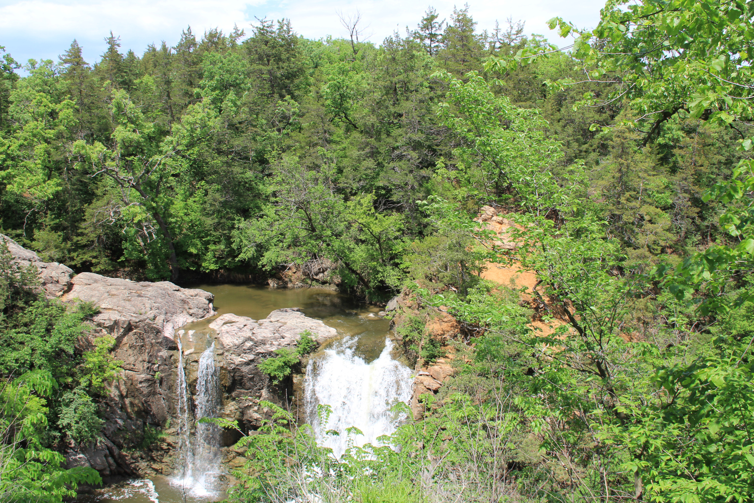
WATER RUSHES OVER the aged granite rock, roaring into the gorge below. It is a scene so beautiful, so unexpected, that this 256-acre city park has been dubbed the “Little Yellowstone of Minnesota.”

Park signage along the river in the zoo area. (Minnesota Prairie Roots copyrighted photo May 2026)

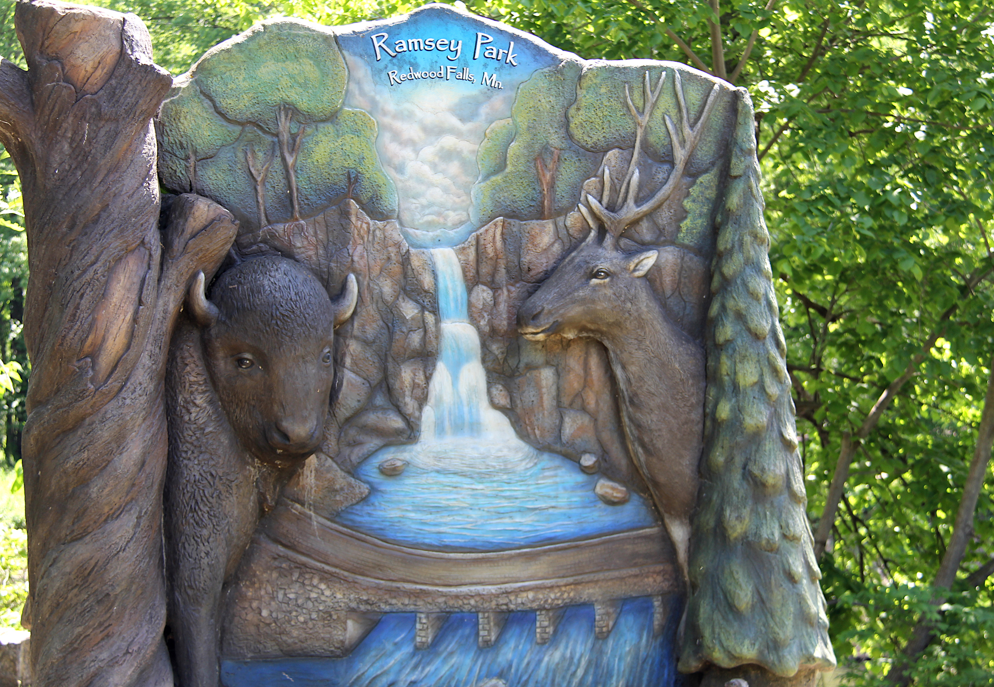
Recently I revisited Ramsey Park, also known as Cansa’yapi, translated to “where they paint the trees red” from the Dakota language. A Mdewakanton Band of the Dakota live near neighboring Morton and refer to their traditional Minnesota River Valley homeland as Cansa’yapi.

On this day, I come to see Ramsey Falls along Ramsey Creek, which feeds into the Redwood River inside the park. The Redwood then flows into the Minnesota River.

If the creek level is high, water spills over two areas of the rock. (Minnesota Prairie Roots copyrighted photo May 2026)

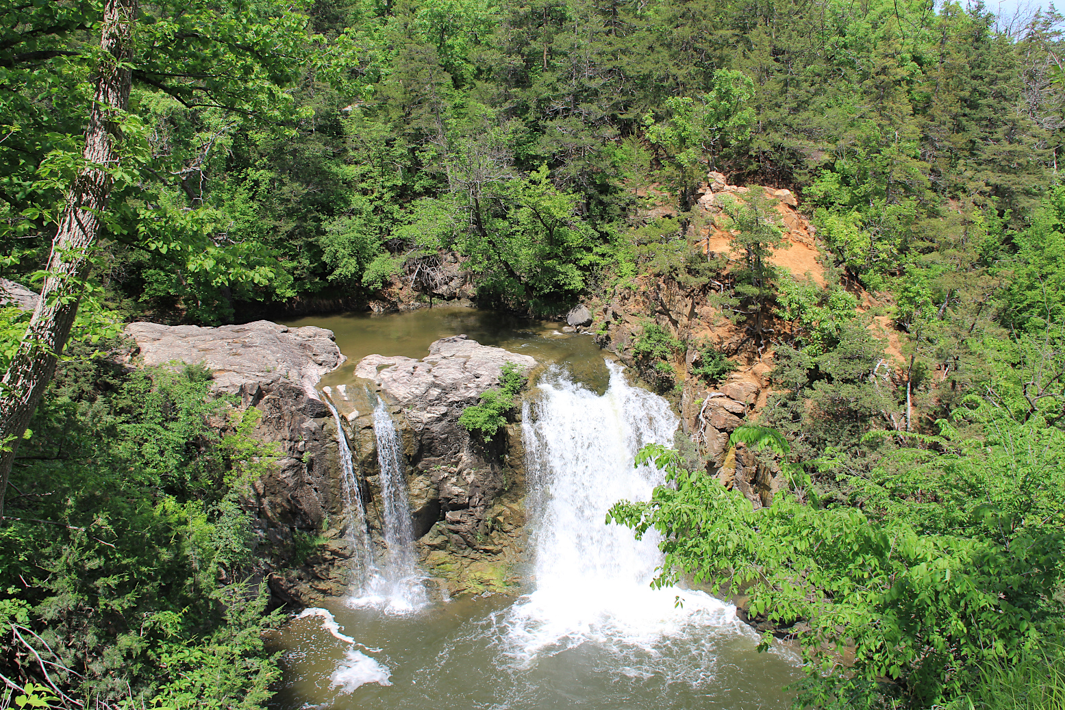
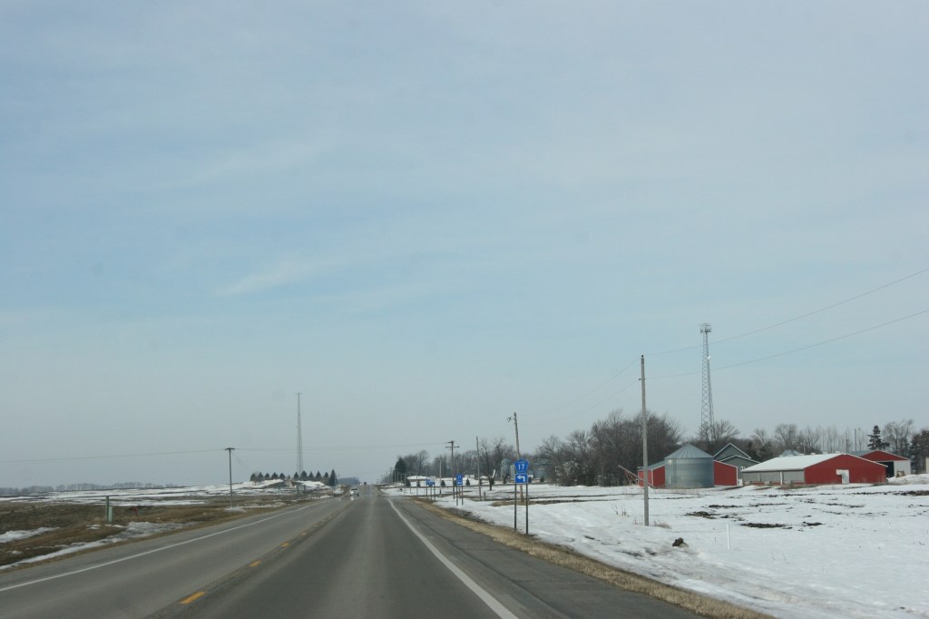
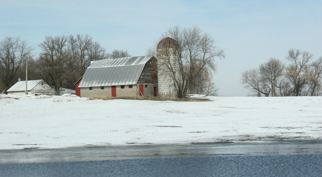
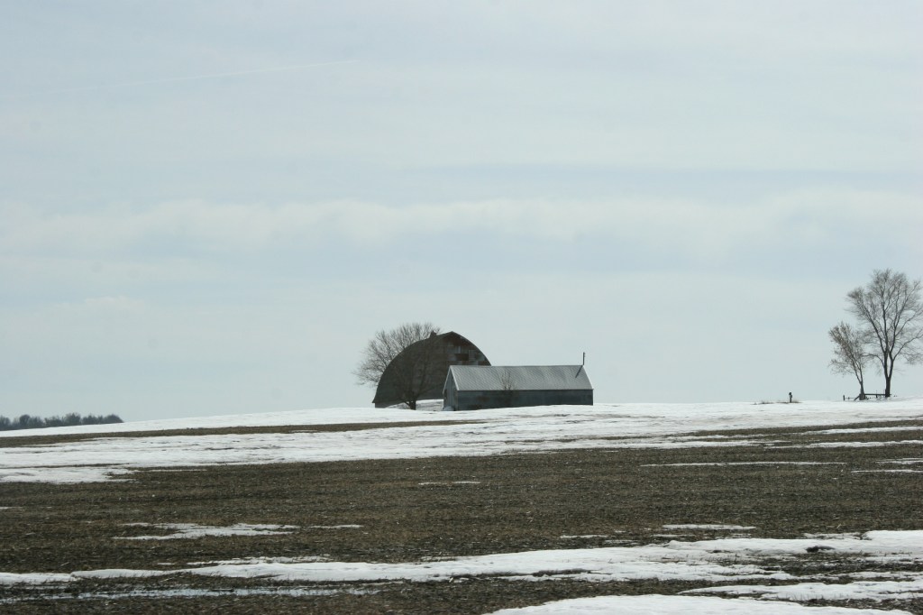
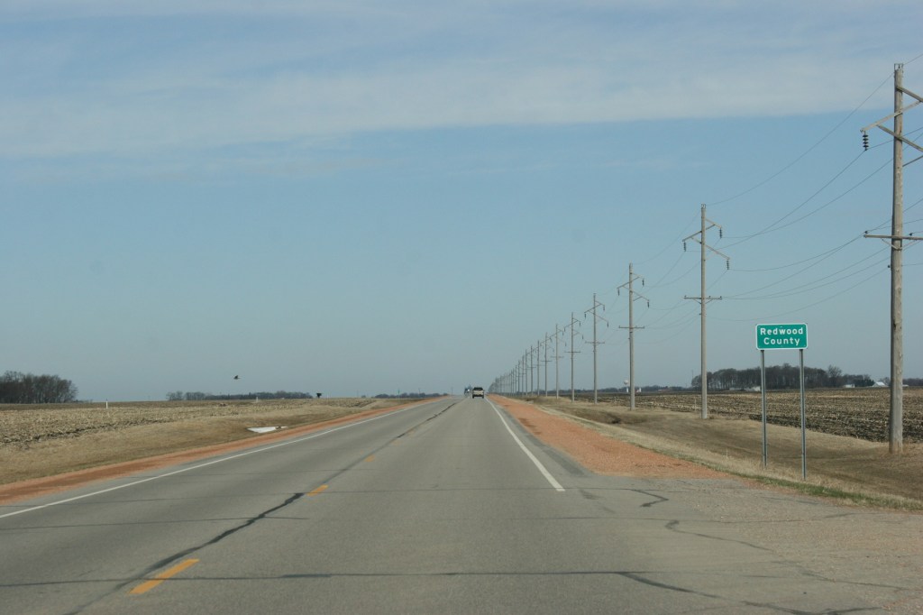
Ramsey Falls, with its 30-foot drop, is the star attraction in this park founded in 1911 as a state park with ownership transferred to the city of Redwood Falls in 1957. This is a gem in a county marked by farm fields, farm sites, small towns and mostly flat topography.

A side view of the swayback bridge from a previous park visit. (Minnesota Prairie Roots copyrighted file photo)

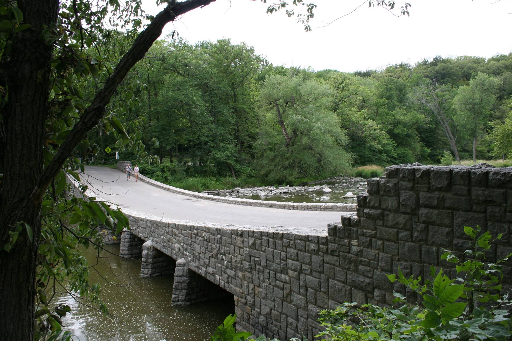
Here, within this park, narrow roads twist and turn through woods, descending to the river bottom. Creek and river waters flow. Three and a half miles of cemented hiking trails (new since I left the area 50 years ago), run throughout the park. A swayback bridge built in 1938 by workers with the Works Progress Administration Project along the Redwood River adds an historic architectural element to the park.

Zooming in on a buffalo through a fence. (Minnesota Prairie Roots copyrighted photo May 2026)

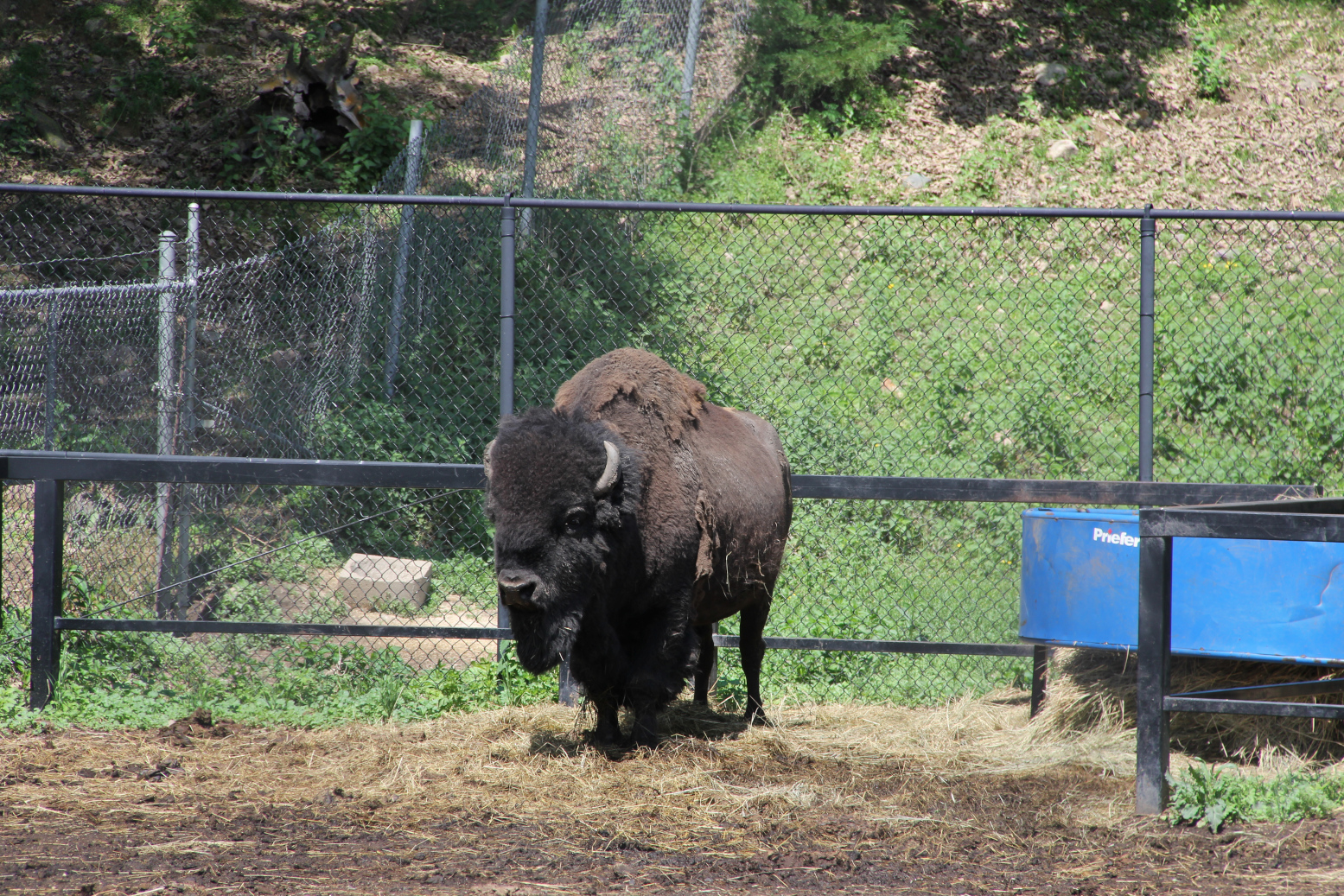
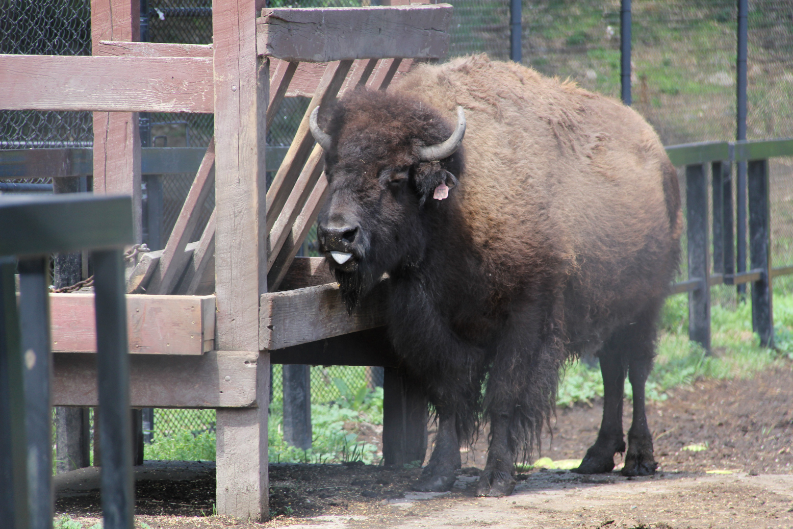
For anyone who loves the outdoors—fishing, hiking, camping, picnicking—this park offers it all. The park is also of interest to geologists and history buffs. A small zoo with its resident buffalo and other animals has always been an attraction, too.

The Redwood River photographed from the swayback bridge. (Minnesota Prairie Roots copyrighted photo May 2026)

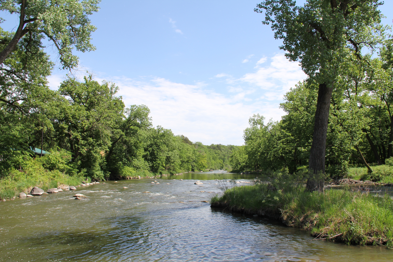
But it is really the land and the water that brings visitors like me here. Hills and gorges. Waterways. Trees thickening into dense woods, vastly different than the shelterbelts protecting farm sites from prairie winds.

Crossing the WPA swayback bridge over the Redwood River. (Minnesota Prairie Roots copyrighted photo May 2026)

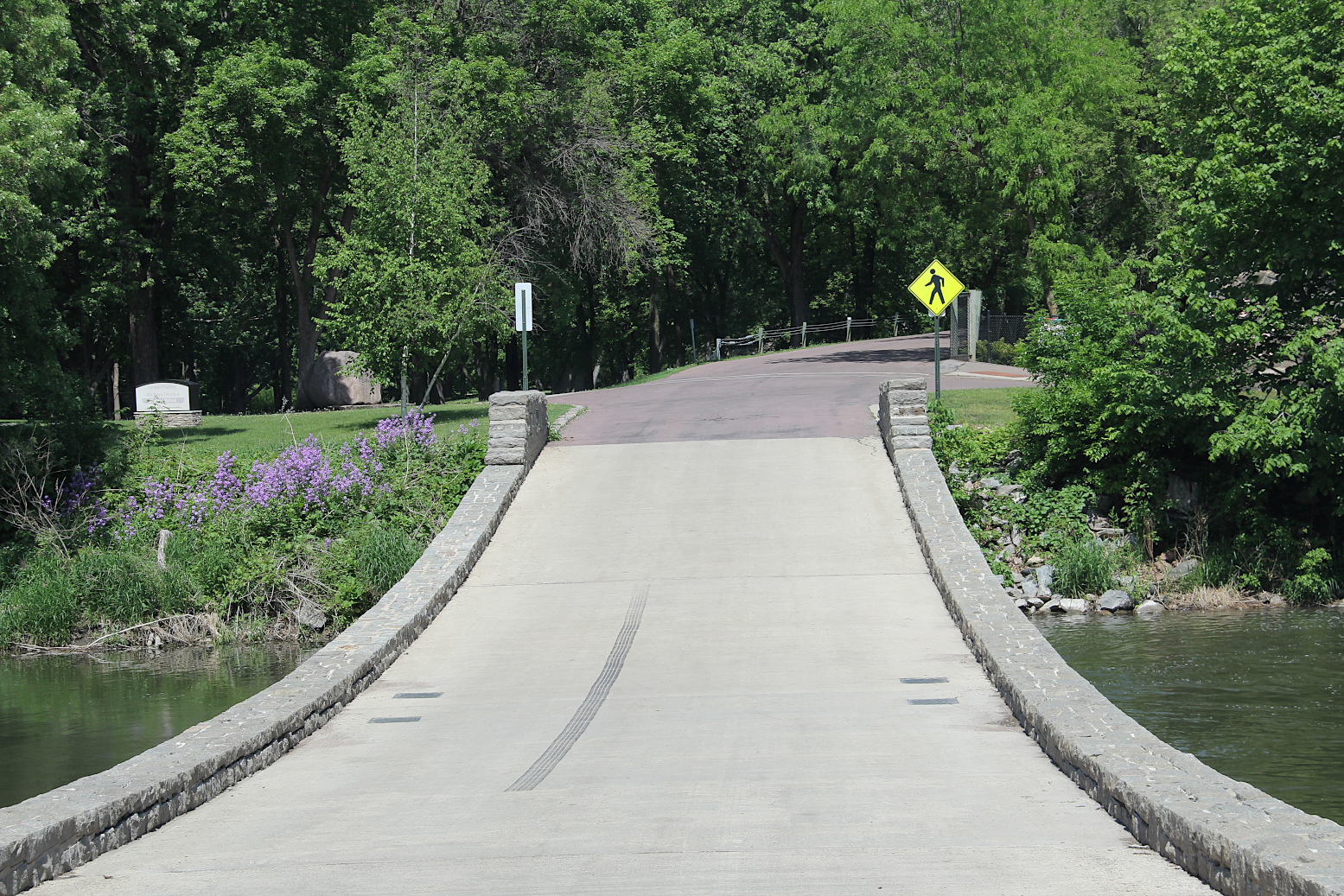
I remember coming here as a child and feeling like I’d entered a different world. Yet, I was still in Redwood County, only 20 miles from the flat farm fields of home to the west. I recall the terror I felt when Dad maneuvered the Chevy around a tight hairpin curve in the park, the steep hillside falling below us. I remember standing in awe of Ramsey Falls, and being more than a little afraid of stepping too close to the fence at the falls overlook. I remember the car dipping across the swayback bridge.

Teenage years took me along a steep, narrow dirt path down to the massive rocks beside the falls for a picnic lunch with friends.

A bird sings in a riverside tree. (Minnesota Prairie Roots copyrighted photo May 2026)

On this afternoon, I lean into the sturdy overlook fence, focus my camera on the rushing waterfalls, notice the surrounding greenery, appreciate this Little Yellowstone of Minnesota. I’ve never been to the Wyoming national park, thus have no comparison to make. That really doesn’t matter; this place holds its own Yellowstone beauty.

The small zoo is home to several playful goats, other animals and birds. (Minnesota Prairie Roots copyrighted photo May 2026)

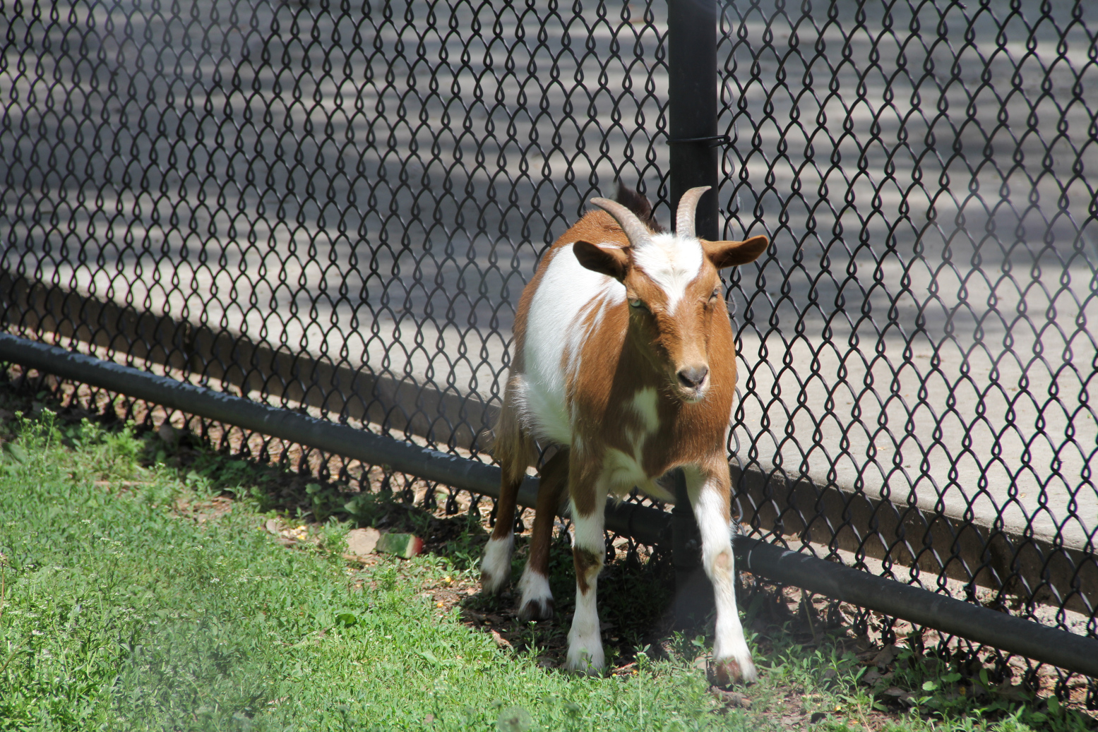
At the Ramsey Park Zoo, I focus on the buffalo, who seem considerably more docile than I remember. Still, I respect them and understand their importance to the Dakota, original inhabitants of this land. Long gone are the caged monkeys that once entertained me with their antics.

Close up with a buffalo in the Ramsey Park Zoo. (Minnesota Prairie Roots copyrighted photo May 2026)

Ramsey/Cansa’yapi Park lies 110 miles to the north and west of my current home in Faribault. Decades removed from Redwood County, I still feel connected to this oasis in the prairie where the water falls and they paint the trees red.

© Copyright 2026 Audrey Kletscher Helbling


On the road: A look at Redwood County flooding & snow pack March 24, 2019

Westbound just outside of Redwood Falls along Minnesota State Highway 19 late Saturday morning.


SNOW LAYERS farm fields.


Along Minnesota State Highway 19 between Redwood Falls and the Belview corner.


Massive snow piles still mark farm sites, this one along Minnesota State Highway 19 near the Belview corner.


A scene along Minnesota State Highway 19 near the Belview corner appears more winter-like than spring.


In the shade of yards and groves and northern hillsides, snow banks remain, reminders of a long Minnesota winter not yet over.


In many spots along Minnesota State Highway 19 between Redwood Falls and the Belview corner, snow pushed off the highway (some up to 100 feet from the roadway) remains.


Snow shoved from a once-drifted Minnesota State Highway 19 appears like wind-sculpted waves frozen in place just west of Redwood Falls.


A sign on the west edge of Redwood Falls along Minnesota State Highway 19 advises motorists to check the Minnesota Department of Transportation website for road closures.


In Redwood, the Redwood River appears mostly iced-over.


Flooding along Minnesota State Highway 19 between Redwood Falls and the Delhi corner.


But outside of town, snow melt floods fields, settles in low-lying areas. Frozen tile and frozen ground allow no outlet for all that water. Farm sites seem temporary lakeside properties.


A drainage ditch near the intersection of Brown County Road 29 and Minnesota State Highway 67 southeast of Morgan.


Ditches brim with water.


East of Courtland along U.S. Highway 14, fields are mostly bare of snow.


Between Morgan and Gilfillan, snow cover and flooding increase.


Southeast of Redwood Falls.


A survey of the countryside while driving from Faribault to Belview and back Saturday presents a perspective on the flooding and potential flooding in southern Minnesota. Not until Randy and I drove northwest out of Morgan did we begin to really notice the difference. Our observations of significant remaining snow pack and already ponding water visually confirms the reason for a flood warning in my native Redwood County.


Flooded farm field near Delhi.


Just east of Belview.


East of Delhi, a closure on the Scenic Byway road.


There’s a lot of snow yet to melt, especially west of Redwood Falls. That water must go somewhere since it can’t soak into the frozen soil. And that somewhere is likely into the Redwood River, which feeds into the Minnesota River, which feeds into the Mississippi River. What happens in rural southwestern Minnesota will eventually affect the Twin Cities metro.


Near Delhi.


Temps and precipitation will factor into the flooding equation, too, as winter transitions into spring. I will tell you that Redwood County, on Saturday, seemed still stuck in the final days of winter.

© Copyright 2019 Audrey Kletscher Helbling


Spring flooding in my home county of Redwood April 30, 2018

Filed under: Uncategorized — Audrey Kletscher Helbling @ 9:57 AM
Tags: , , , , , , , , , , ,

Entering my home county of Redwood along Minnesota State Highway 68 southeast of Morgan.


SEVERAL DAYS AGO, traveling back to my hometown of Vesta, I noted snow sculpted in some road ditches. This late in April, the scene was unexpected. But then a blizzard raged across southern Minnesota only weeks earlier. And that road ditch snow, hard-packed by prairie winds, had yet to melt in the then 60-degree temps.


Nearing Vesta (left in photo) along Minnesota State Highway 19, I saw more and more flooding of farm fields.


A view of the flooding from Highway 19 just northwest of Vesta.


And just across the highway, more flooding.


Beyond the snow, though, I noticed water setting in farm fields. The late significant snowfalls and plugged culverts and tiles likely contributed to the collection of snow melt water in many low-lying areas. It would be awhile, I surmised, before farmers would be working this land.


The deep blue of those temporary ponds appeals to the poet in me. I see lines of poetry in splashes of blue across an otherwise drab landscape stubbled by remnants of last year’s harvest.


The Redwood River, flooded over its banks, along Redwood County Road 10 heading south out of Vesta. That’s my home farm in the distance. There have been times when the river flooded across the roadway.


A temporary lake of floodwaters borders my hometown of Vesta.


Flooded farmland along the Redwood River on the edge of Vesta.


On the south edge of Vesta, within view of the Redwood River, a lake formed as the river overflowed its banks and flooded surrounding farm land. The town itself was in no danger with a hill—rare as they are on the prairie—bordering that end of town.


Water spreads easily across the almost tabletop flat landscape, here just north of Vesta.


There’s something about floodwaters that draws my appreciation, causes me to stand and just look at the river and recognize its power.


These grain bins sit a gravel road and short stretch of land away from the floodwaters of the Redwood River in Vesta.


I realize that soon (maybe even as I write) this flooding will be another memory as farmers ready for planting and, in several months, the harvest.


© Copyright 2018 Audrey Kletscher Helbling