NUMEROUS TIMES ON TRIPS to and from Fargo, I’ve wanted to stop and photograph a kitschy roadside attraction along Interstate 94 on the edge of Rothsay. But time never allowed, until Friday morning.

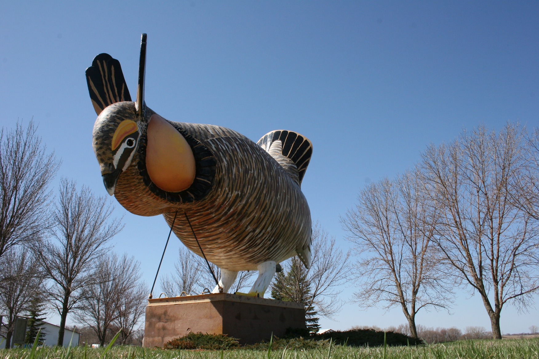
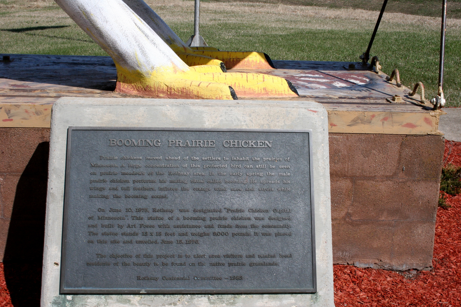
This prairie chicken statue celebrates the real prairie chickens which reside in the Rothsay area.
I convinced my husband, who didn’t seem as excited as me, that we had time for a photo op with an 18-foot tall, 8,000-pound prairie chicken. He sat in the van while I did a quick photo shoot in the whipping wind.

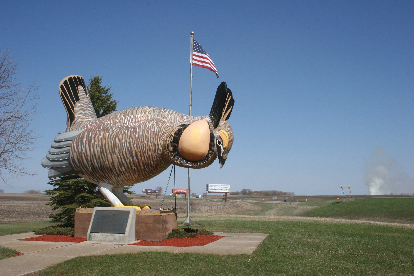
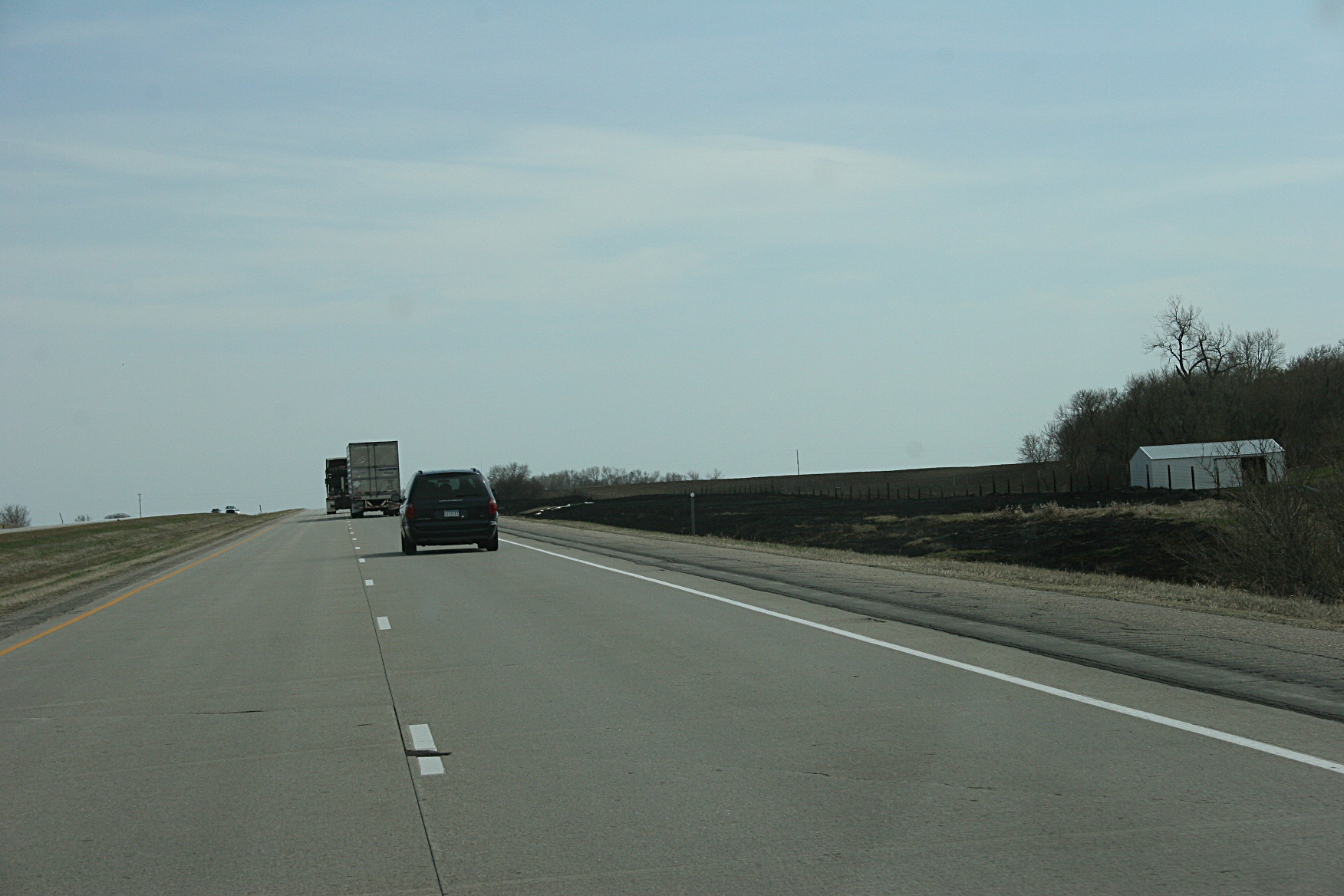
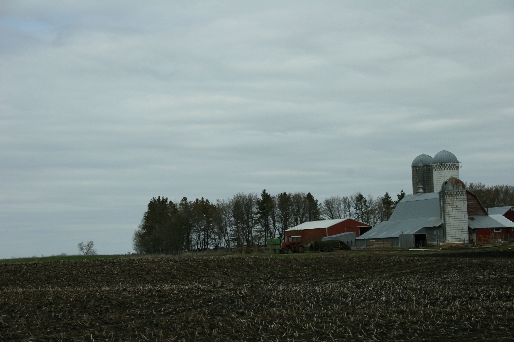
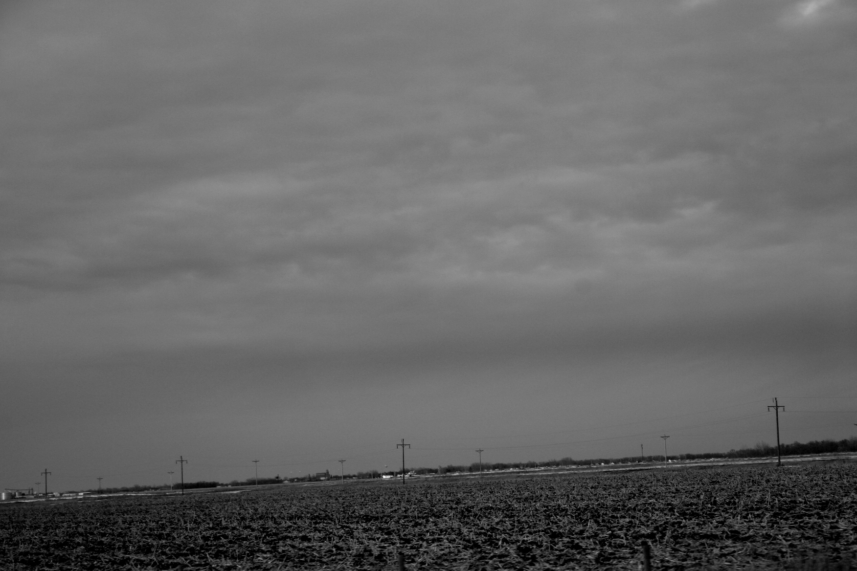
In the right background of this photo, you can see smoke.
From our hilltop position next to the interstate, we noticed a towering plume of white smoke in the distance. Randy speculated a controlled burn at a nearby wildlife refuge. I wasn’t so sure. Who would be crazy enough to light the land afire on a windy day like Friday? But what do I know?

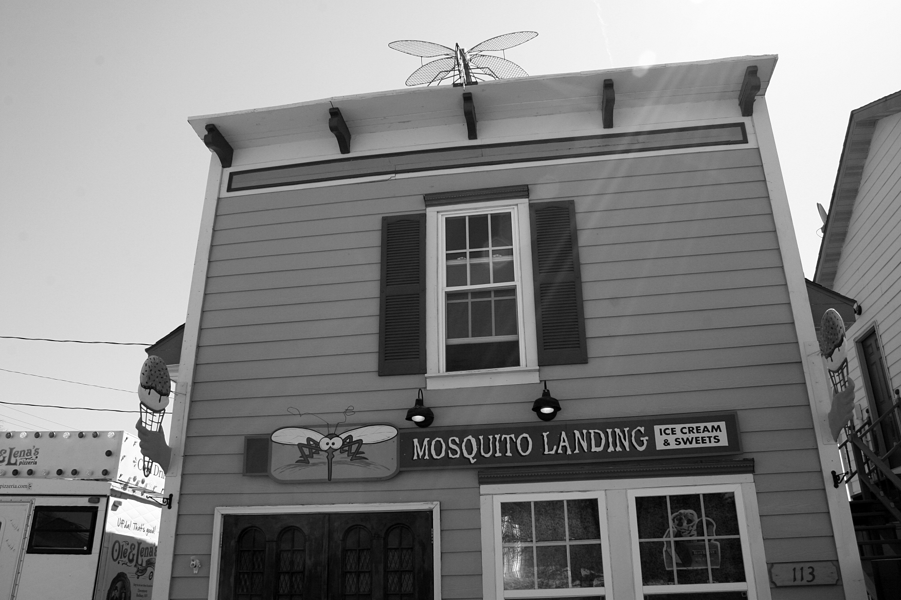
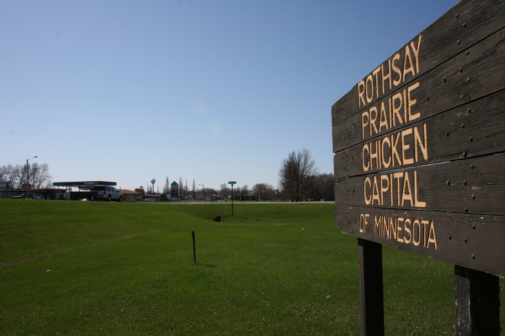
The road to the left leads into Rothsay, “Prairie Chicken Capital of Minnesota.”
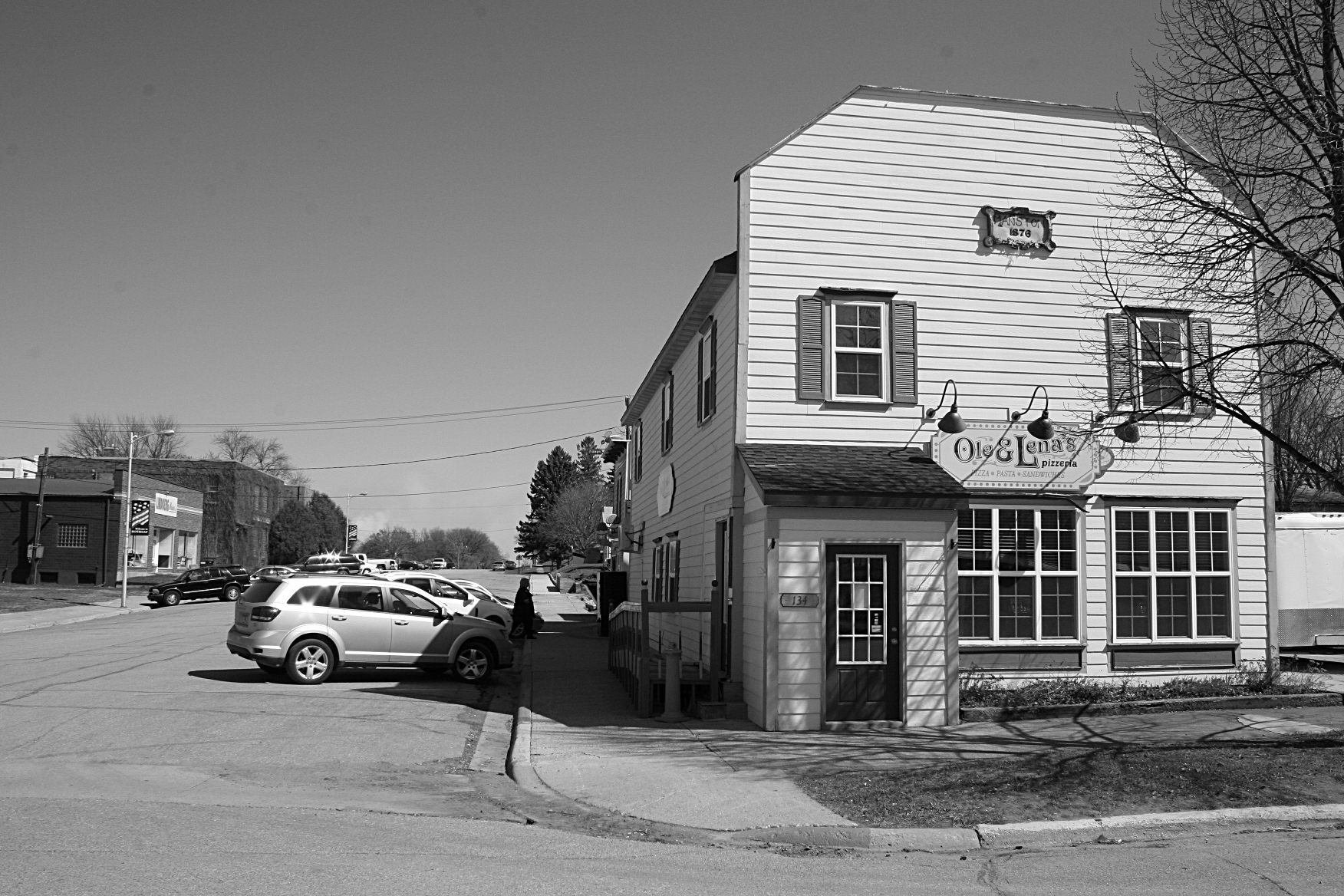
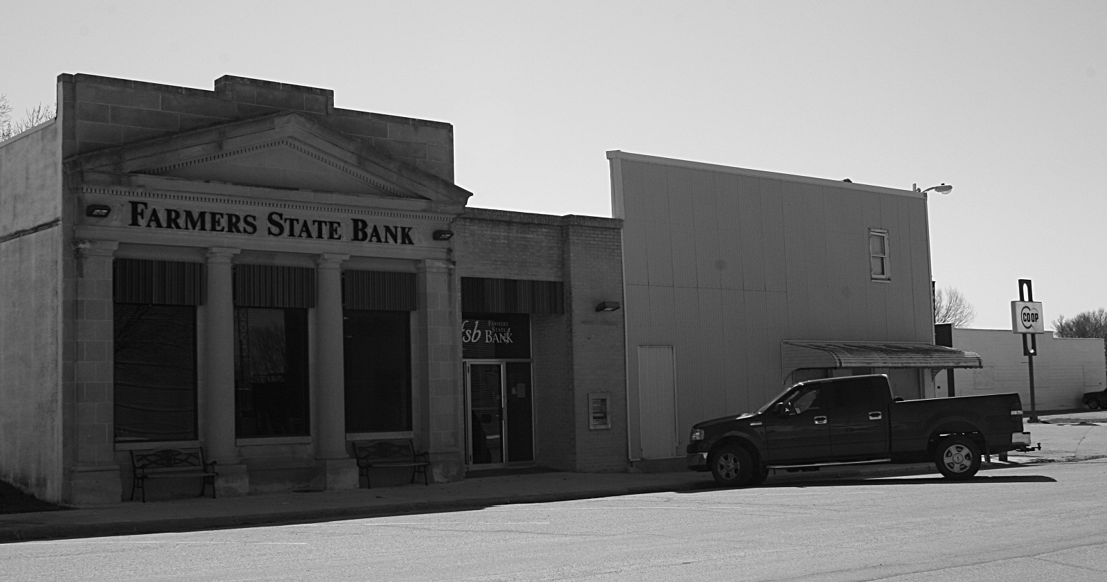
So…given my curiosity about this self-proclaimed “Prairie Chicken Capital of Minnesota,” we drove into Rothsay and meandered through residential areas before parking across from the Wilkin County Sheriff’s Department office (that’s another story) to scout out the town.
Soon, the wail of sirens pierced the quiet of an unexciting Friday morning in Rothsay as a rescue squad vehicle and fire truck roared out of town. To that fire, I presumed.
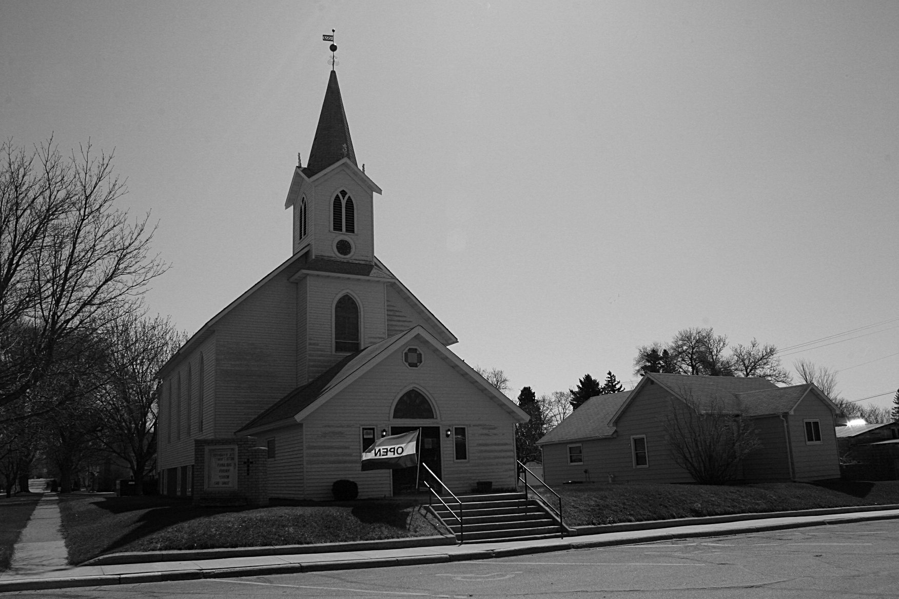
I shot a few more photos and then, just as we were about to leave the downtown, spotted a thrift store in an old church. We stopped.

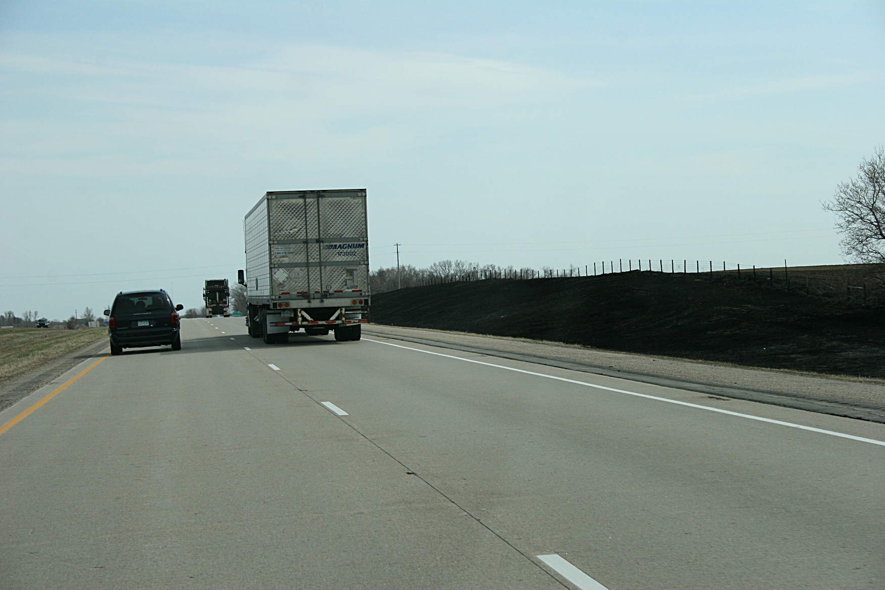
This photo shows a section of the road ditch burned Friday morning along I-94 near Rothsay and photographed several hours later.
When I met a local exiting the thrift shop, I asked if he knew anything about the fire. As I expected, he did. Word travels fast in a small town like Rothsay, population around 500. The fire, he said, was burning in the road ditch along the west side of the interstate about a mile north of town.
“Could have started with a bearing going out on a truck,” he speculated.
Or a cigarette butt tossed out a vehicle window, I thought.
Then he advised us not to take the interstate. “Go past the truck stop on the edge of town and keep going straight north til you get to County Road 108. Turn onto that and it will take you back onto the interstate,” he repeated. Thrice.
He reckoned that drivers, blinded by the smoke, might be piling into one another on the roadway. “They don’t slow down like they should.”

More of the charred road ditch from the Friday morning grass fire which halted traffic and caused accidents.
Randy wasn’t so sure the elderly man was right. I was. He seemed quite sure of his information.
As we aimed toward the edge of Rothsay, my indecisive husband suggested that we watch for southbound traffic on I-94. There was none. So north we traveled on a county road, soon catching glimpses of long lines of stopped traffic on both sides of the interstate.
From the County Road 108 entrance ramp nearly all the way to Moorhead, a distance of about 40 miles, we had the entire interstate mostly to ourselves. Talk about an eerie feeling. But better to freewheel along the interstate than to be stuck in traffic at the dual emergency site of a grass fire and multiple crashes.
So that is my story of how a prairie chicken, and a kindly man from Rothsay, saved the day for us.
And, I suppose, I can take some credit, too, as I suggested we stop in Rothsay. If not for my desire to photograph kitschy art, we would have driven right into that smoke and…perhaps another vehicle.

The feet of the giant “booming” prairie chicken along with info about the statue erected in 1976.
FYI: According to minimal information I found online, several crashes resulted from the large grass fire burning along I-94 near mile marker 36 north of Rothsay. I couldn’t find any details.
Also, according to info I read online, the 23-mile section of roadway from the Downer exit to Rothsay is known as “the Bermuda Triangle of I-94” because of the high volume of crashes during the winter months. The article doesn’t cite grass fires. Click here to read that story.
This past weekend, numerous grass fires were reported in this region of Minnesota. Click here to read about the fires.
Also, due to the high fire danger in many areas of Minnesota, the Department of Natural Resources has issued burning restrictions in specific counties. Click here to learn more about those restrictions.
© Copyright 2013 Audrey Kletscher Helbling


Recent Comments