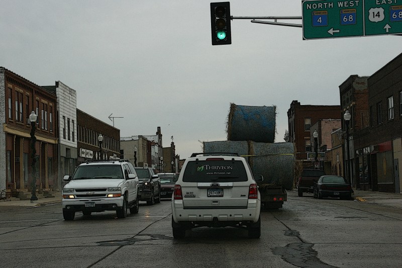
TYPICALLY, ROAD CONSTRUCTION frustrates me. Unexpected delays and detours add to travel time and sometimes to distance.
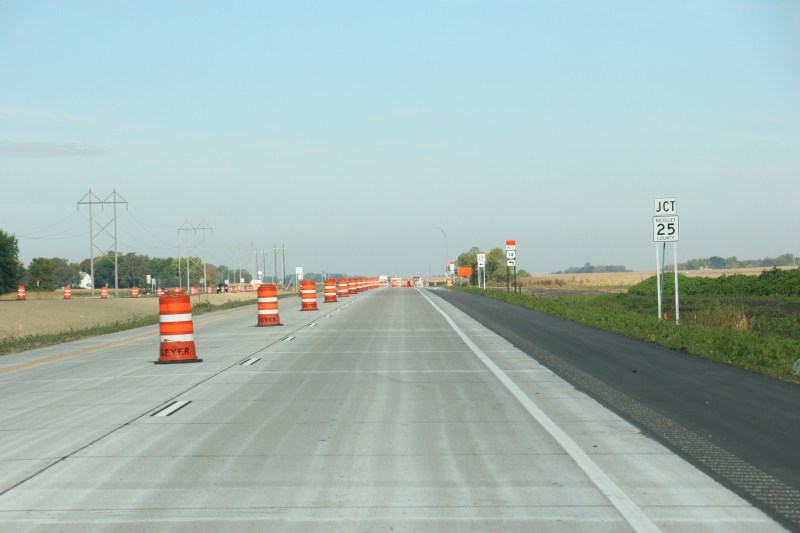
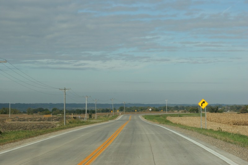
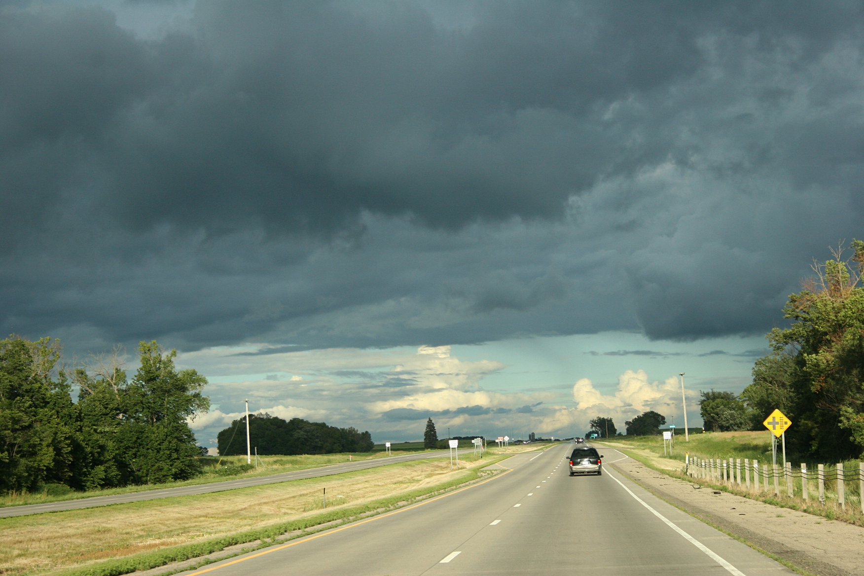
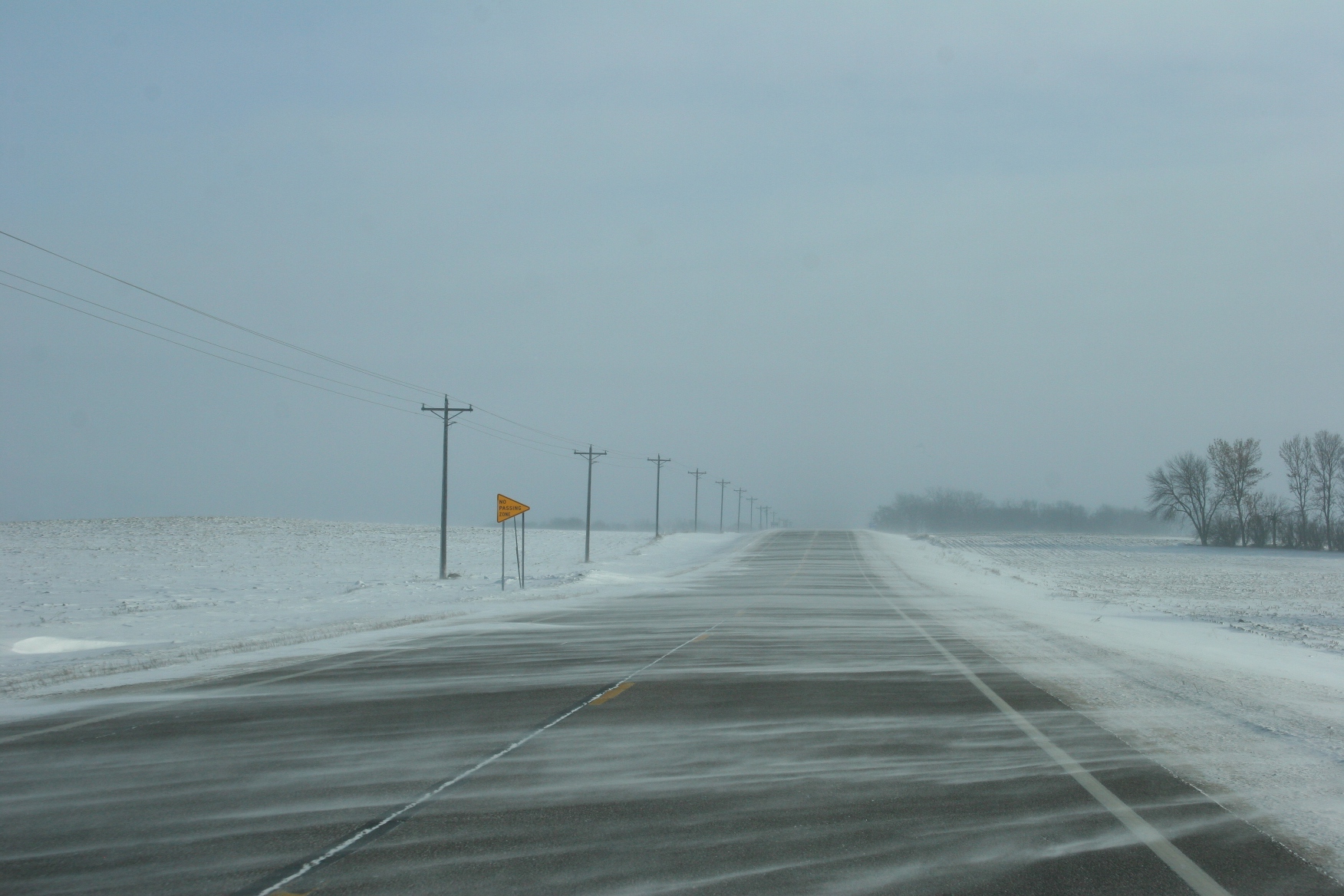
U.S. Highway 14 under construction between Mankato and Nicollet, nearing the detour.
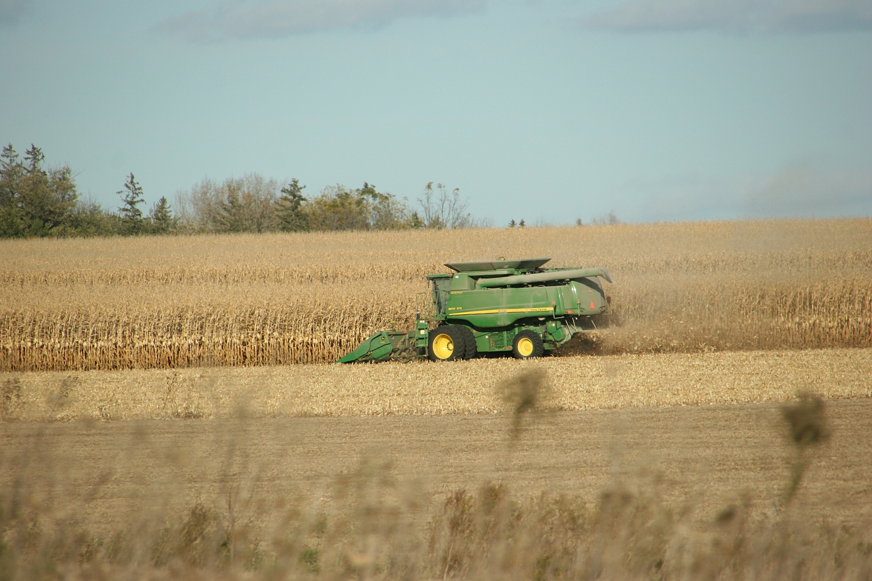
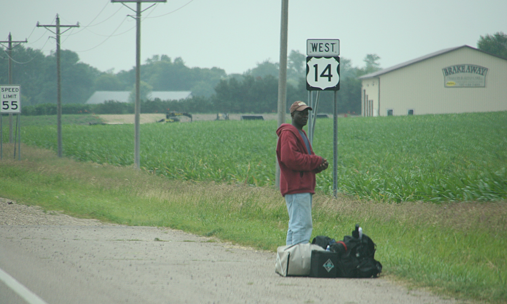
But I welcome at least one major road project in southern Minnesota—the expansion of U.S. Highway 14 between Mankato and Nicollet in to a four-lane. This stretch rates as one of the most dangerous roadways in rural Minnesota. Traffic volume along the narrow highway is high. Passing is mostly difficult and dangerous.
The improvements are needed to make this a safer highway. If only the expansion would run all the way to New Ulm.
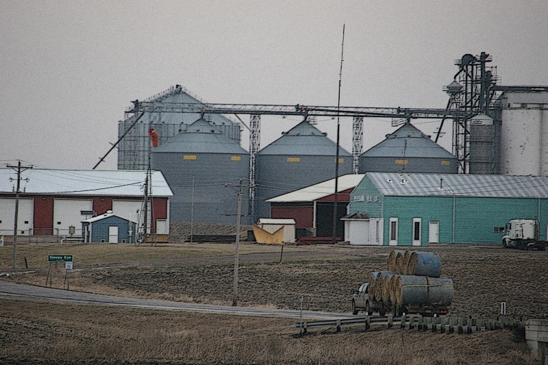
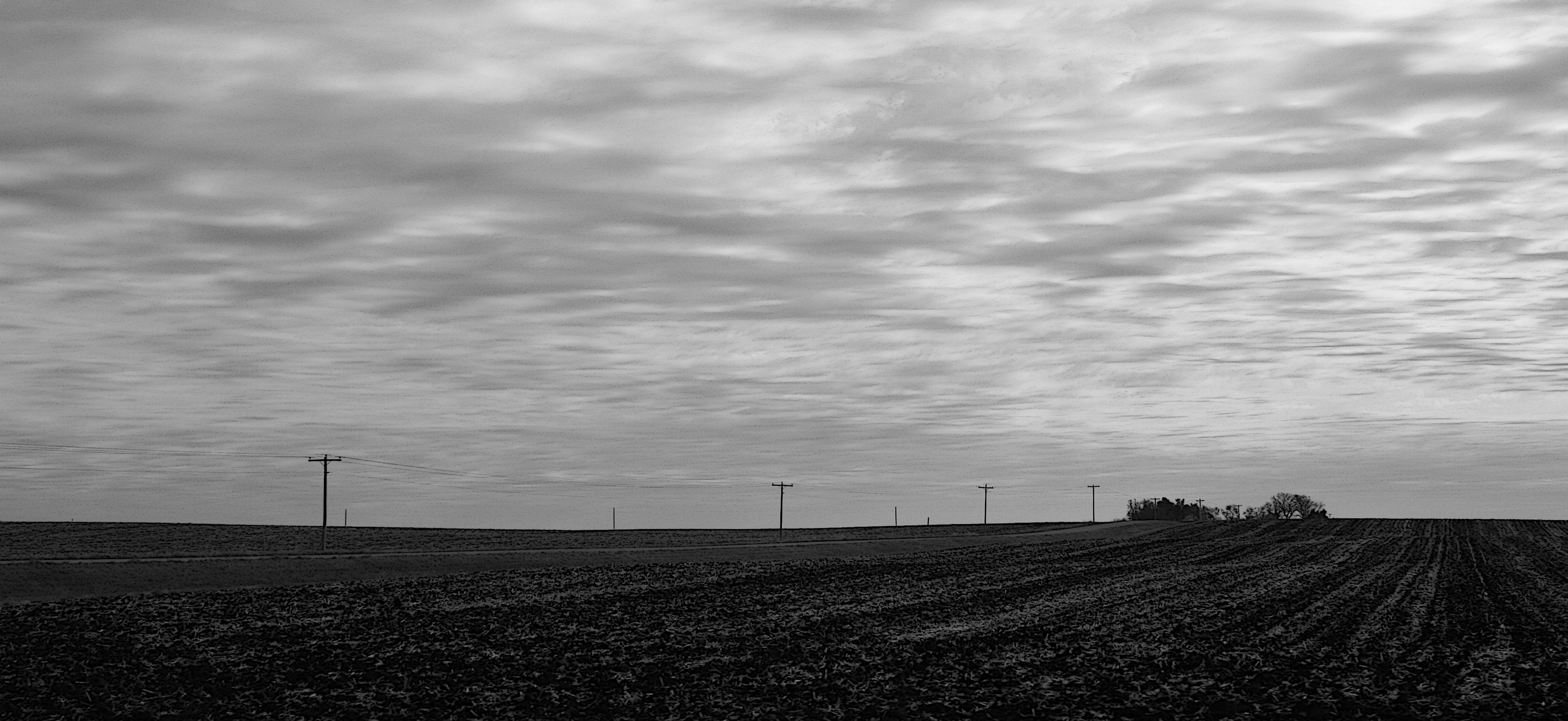
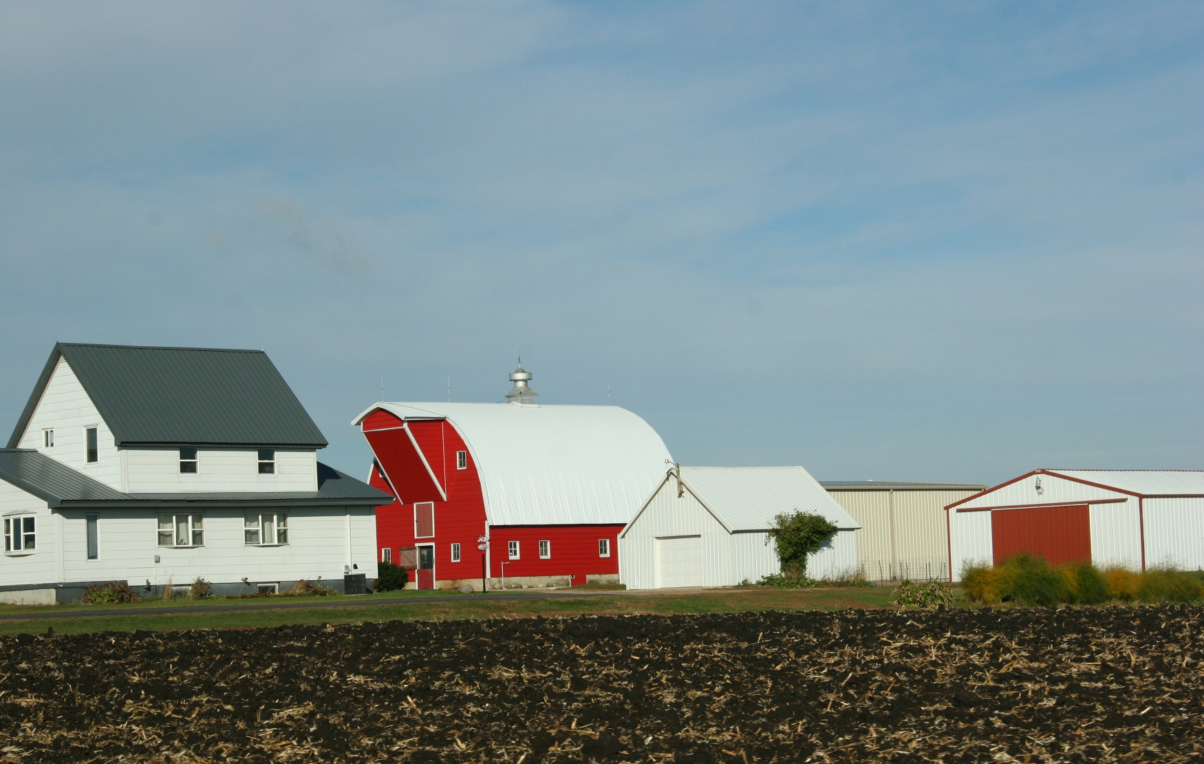
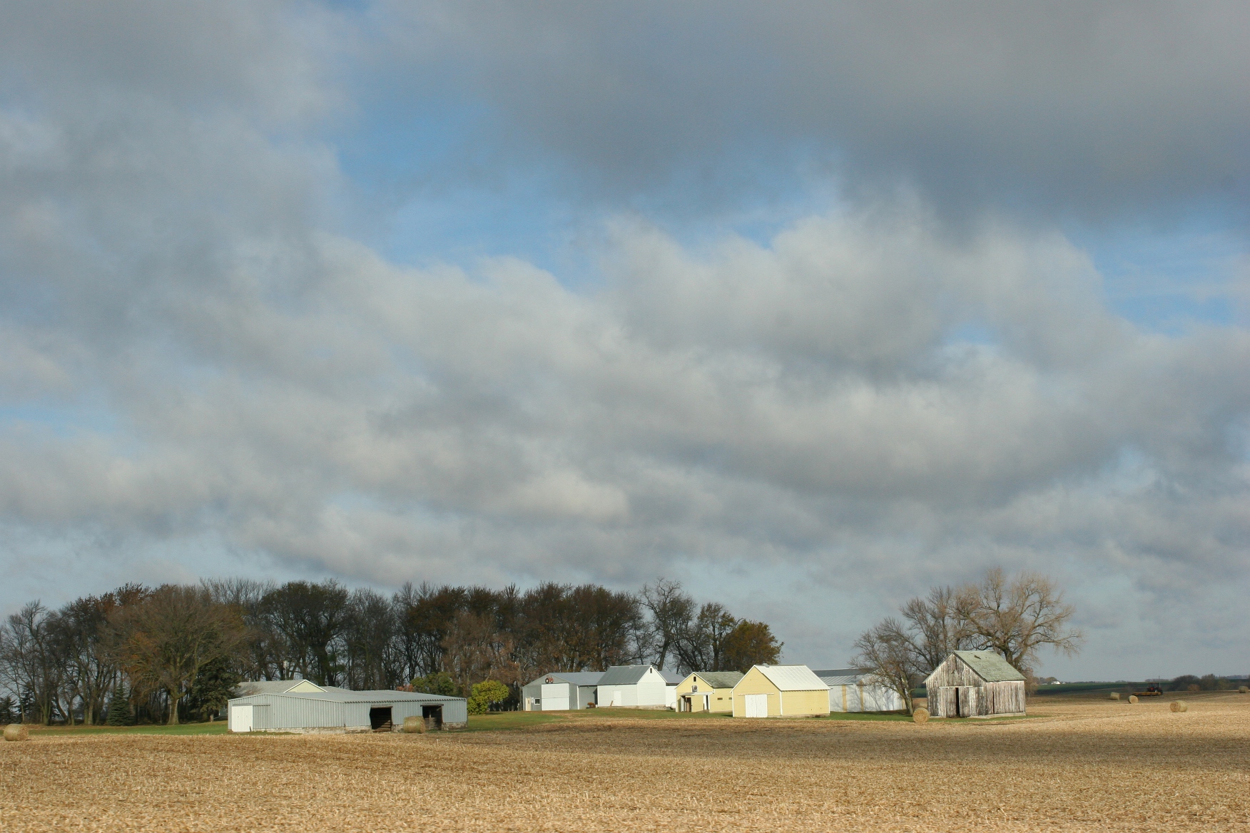
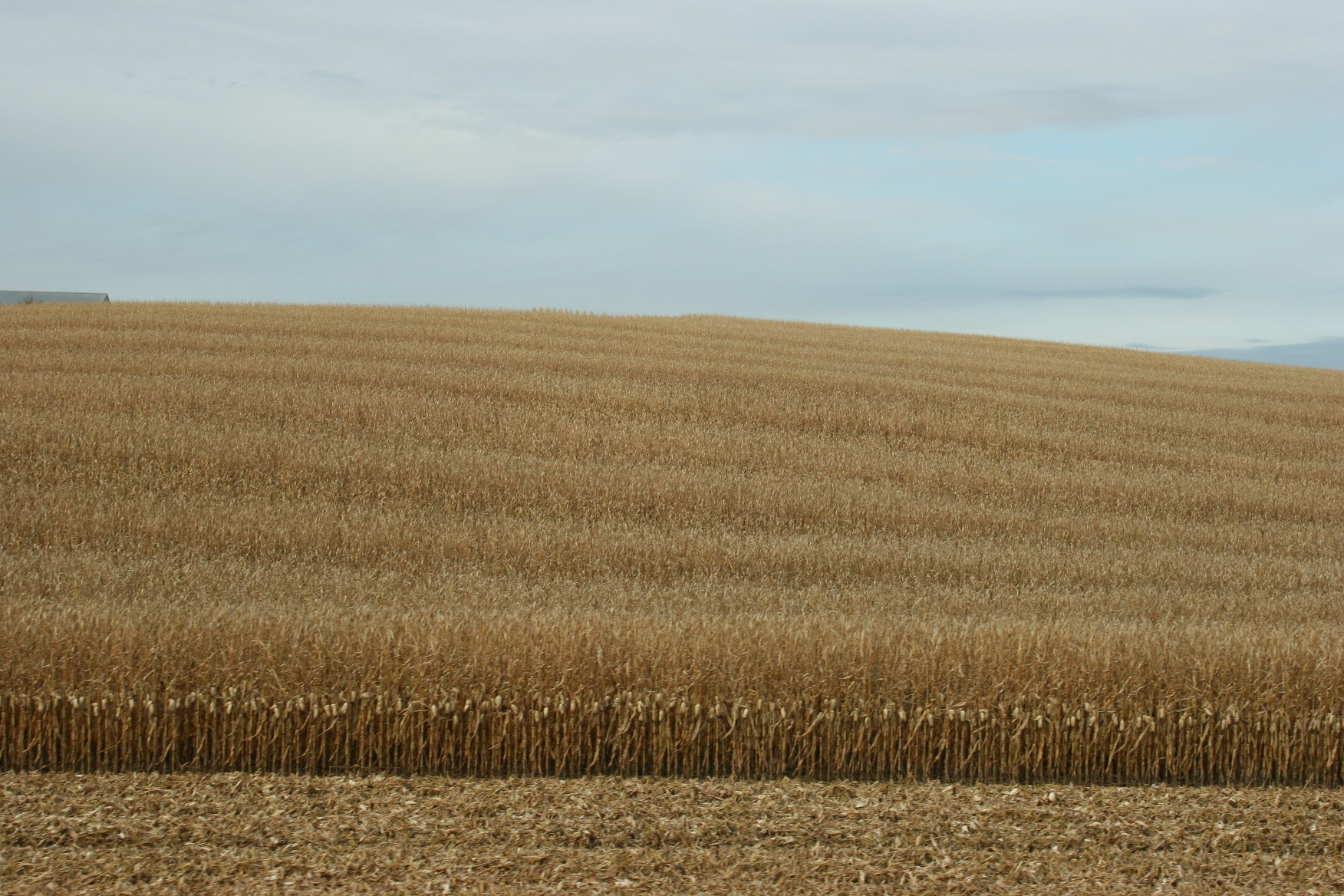
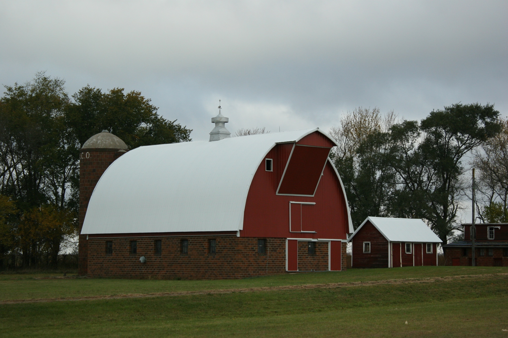
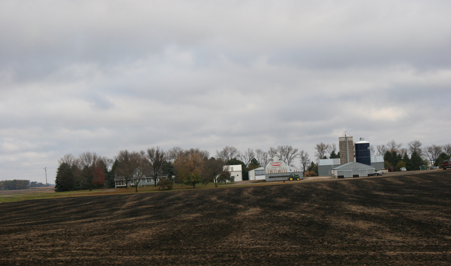
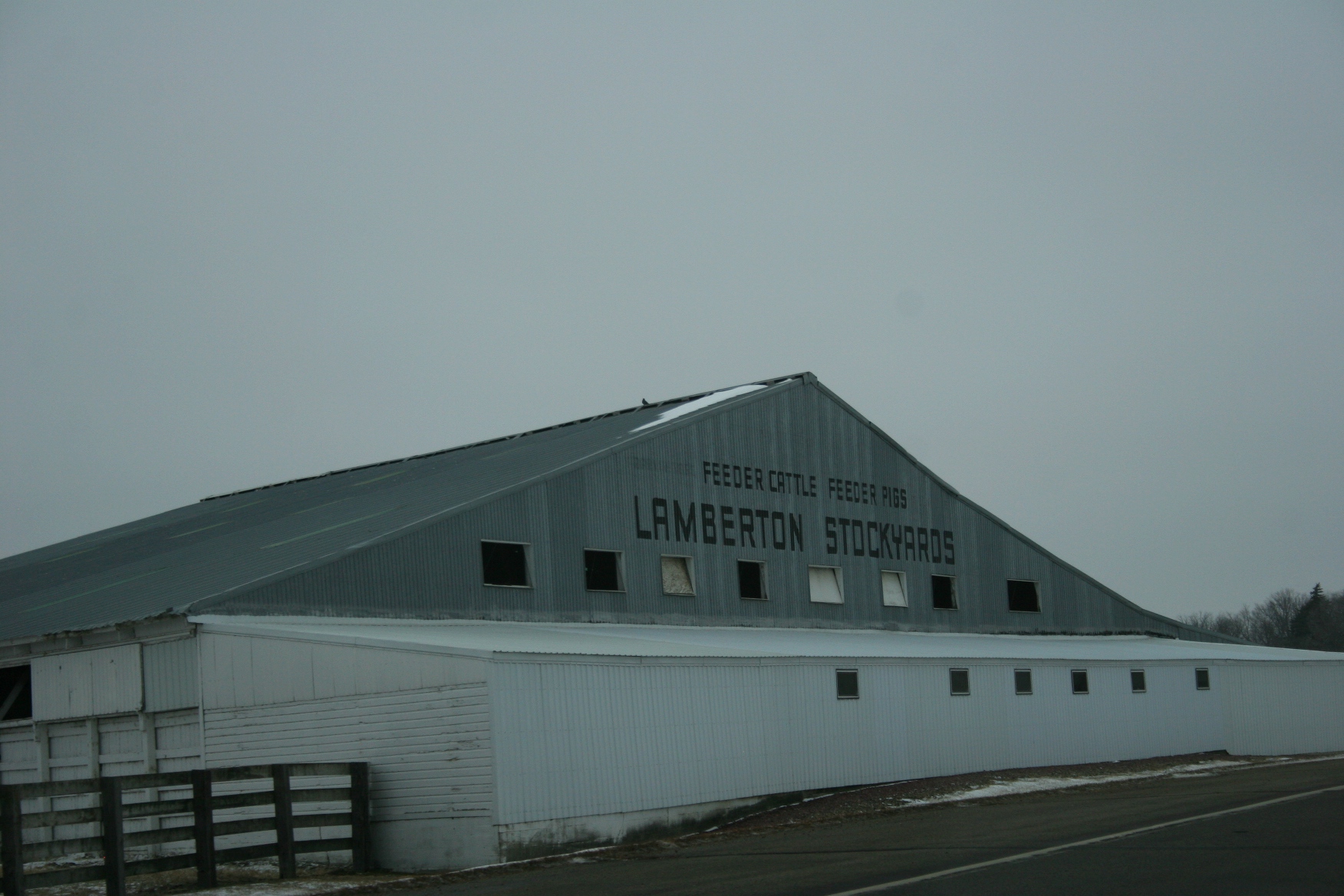
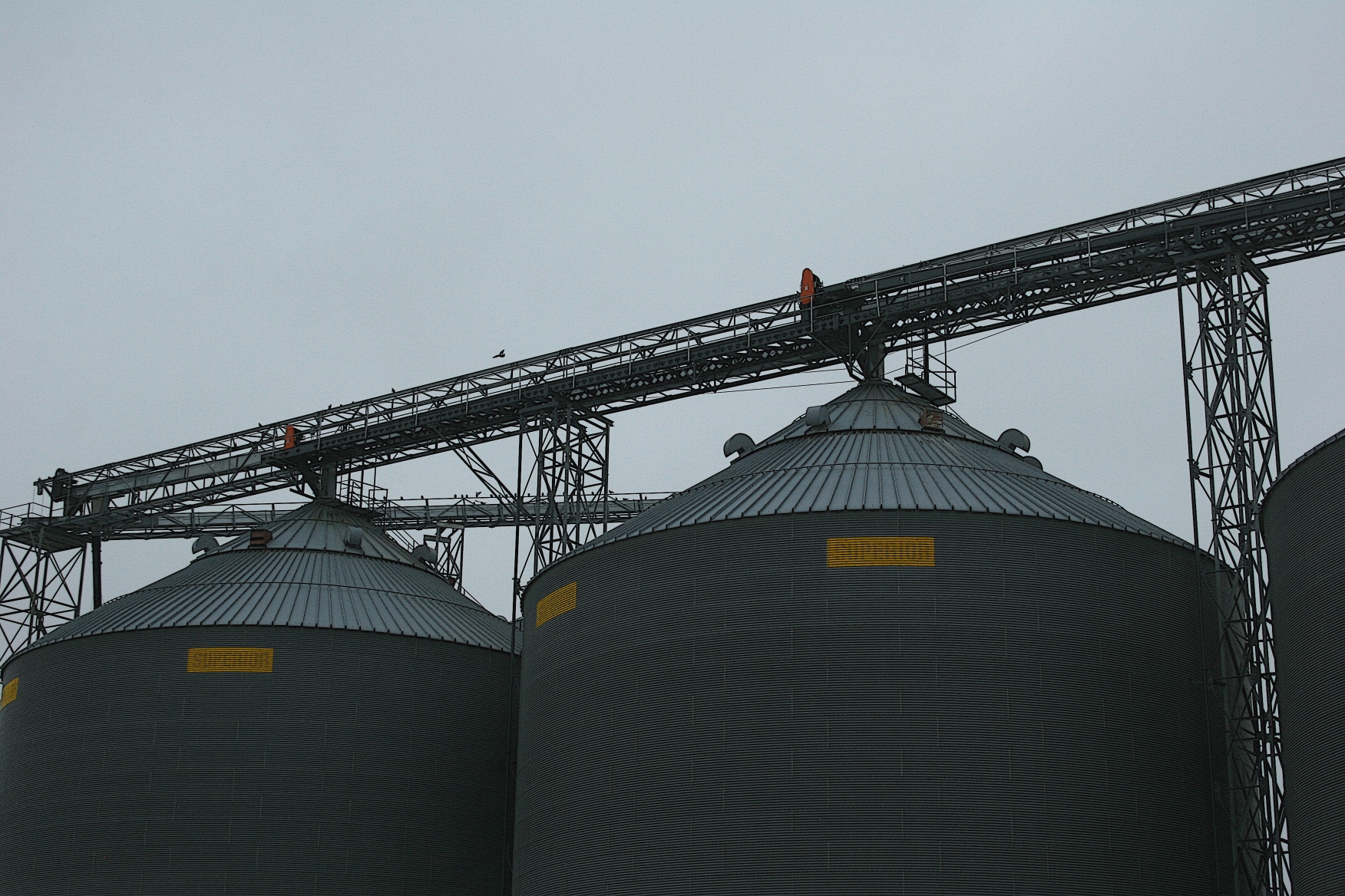
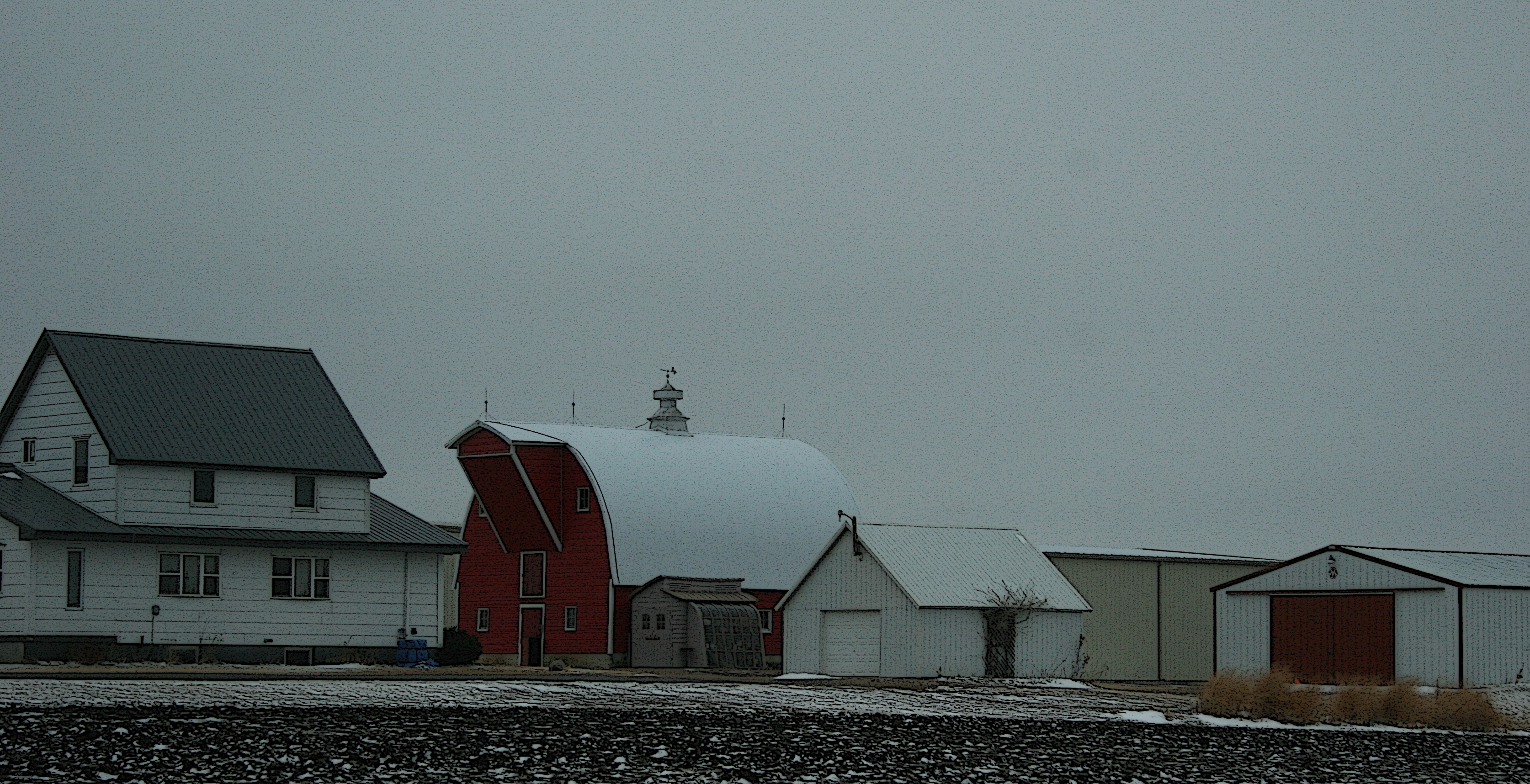
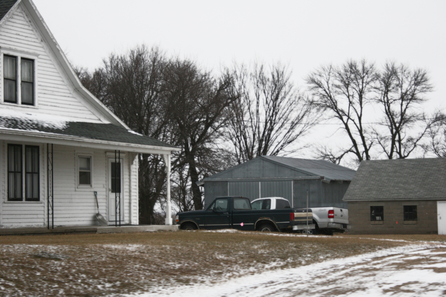
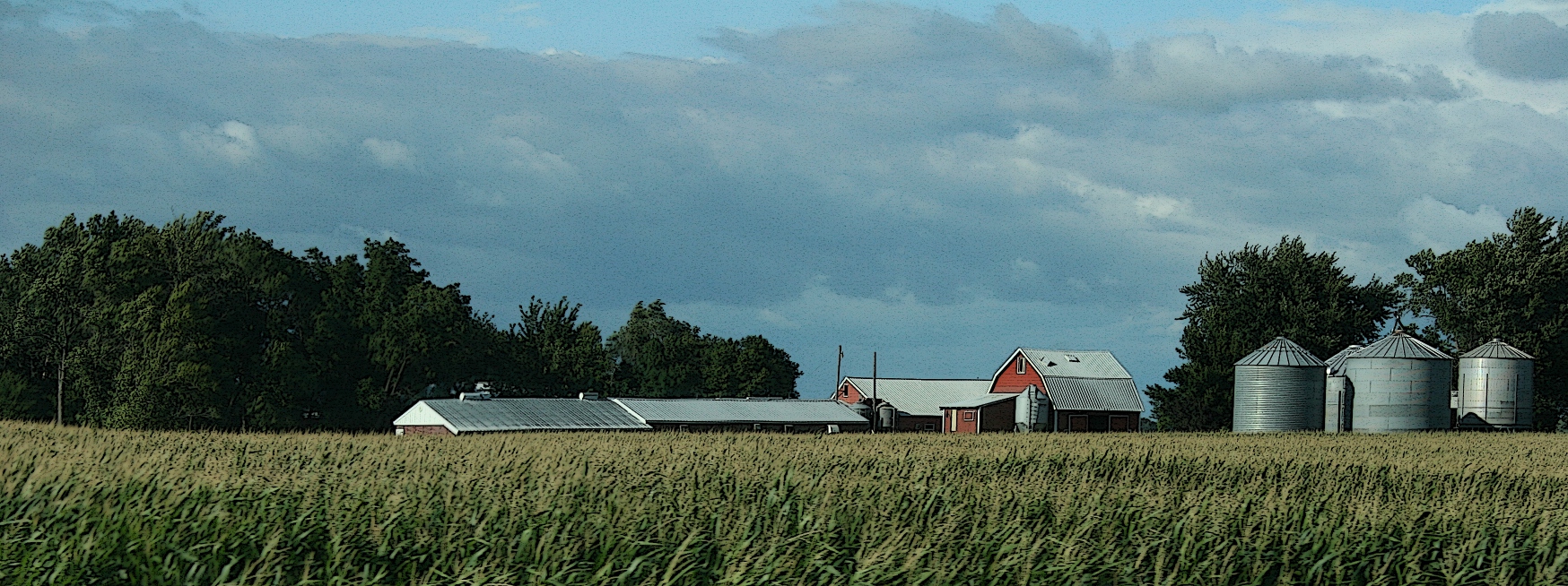
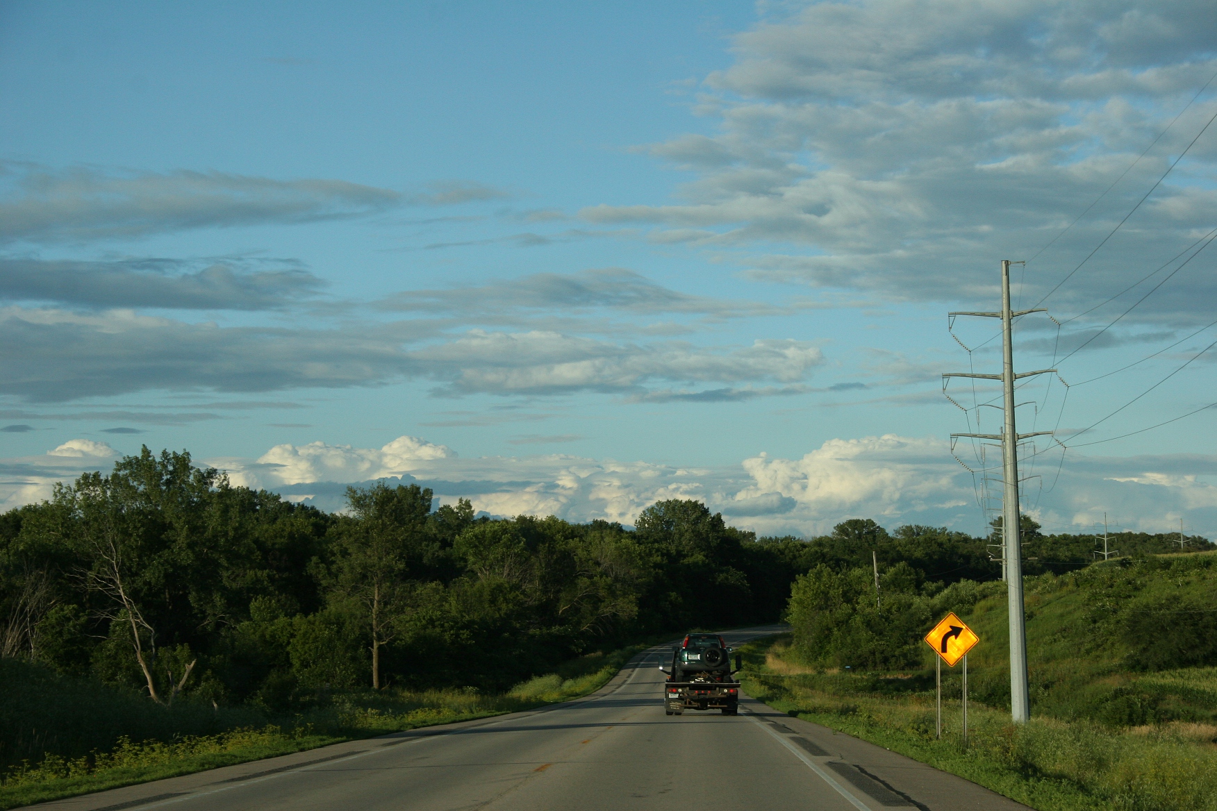
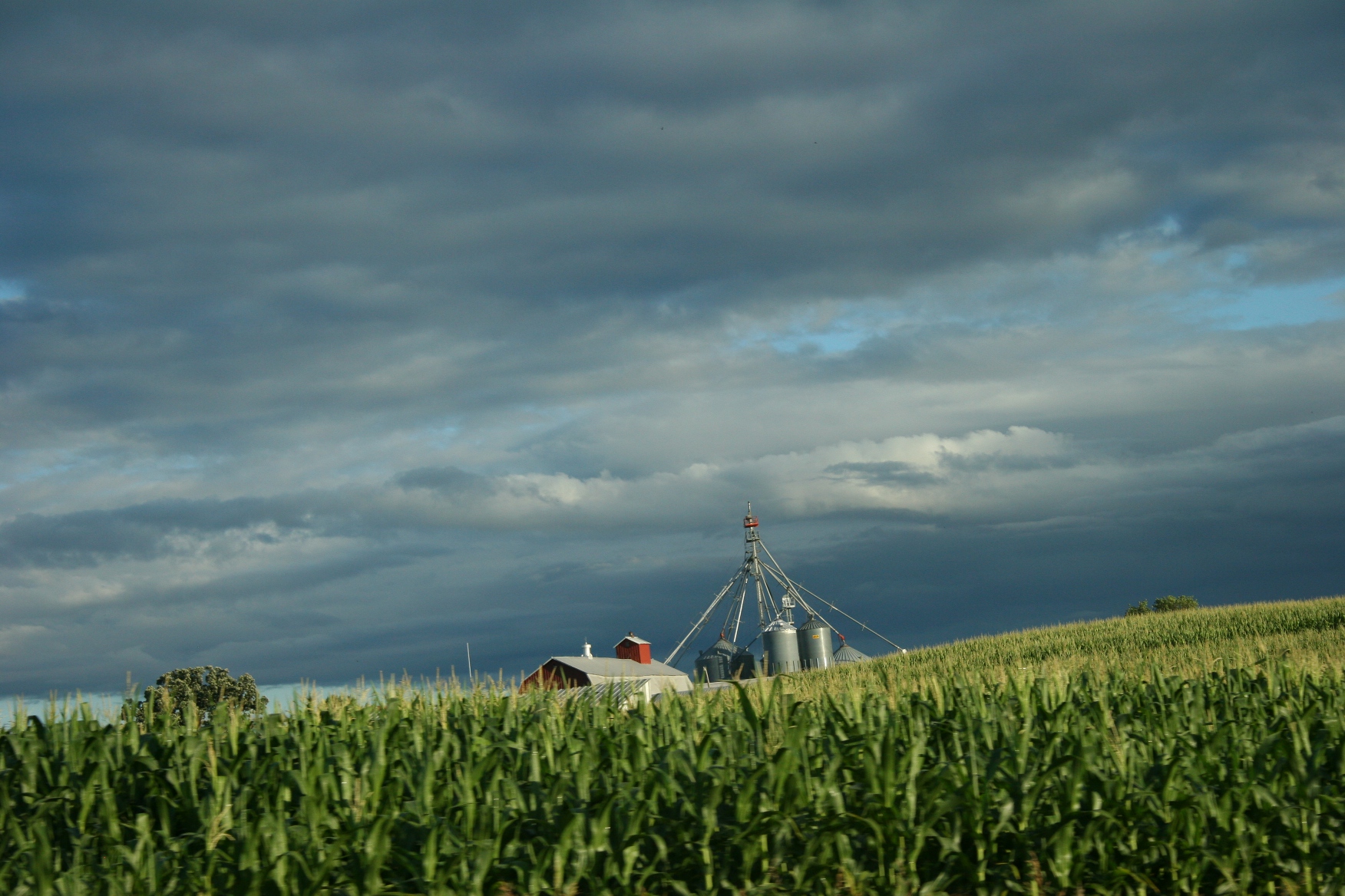
The detour route took us through Nicollet County farm land,aiming for Courtland.
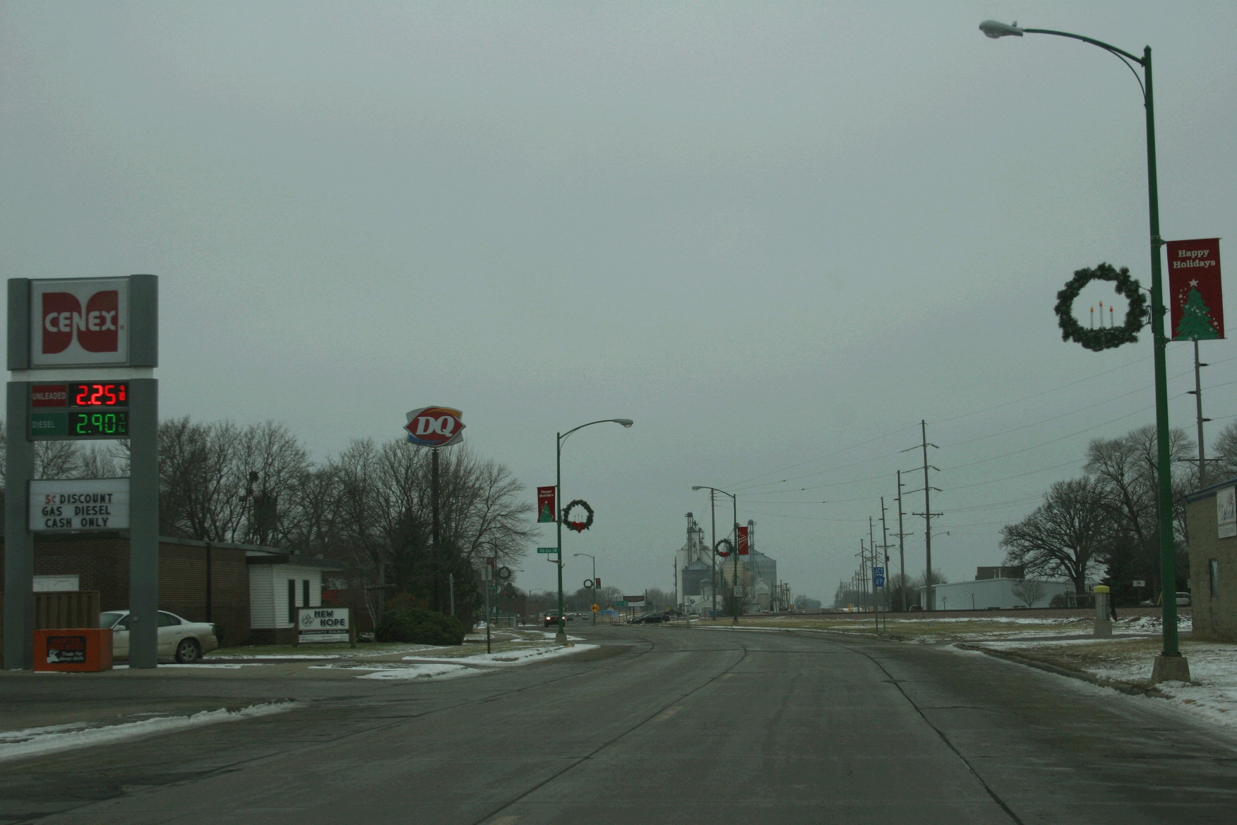
Traveling to southwestern Minnesota last Saturday, my husband and I steered away from the Highway 14 project by taking Minnesota Highway 99 between St. Peter and Nicollet. Except this time 99 was closed before we reached Nicollet and we were rerouted onto the official Highway 14 detour route.
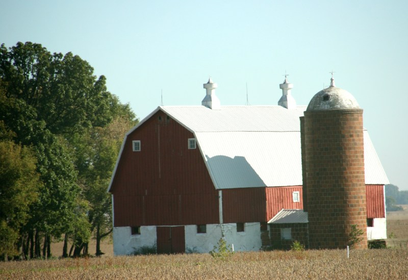
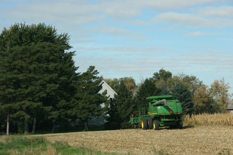

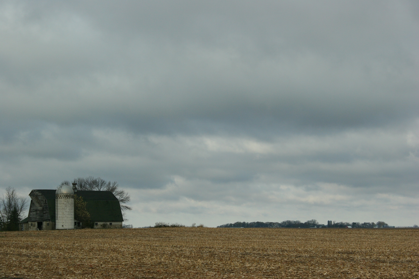
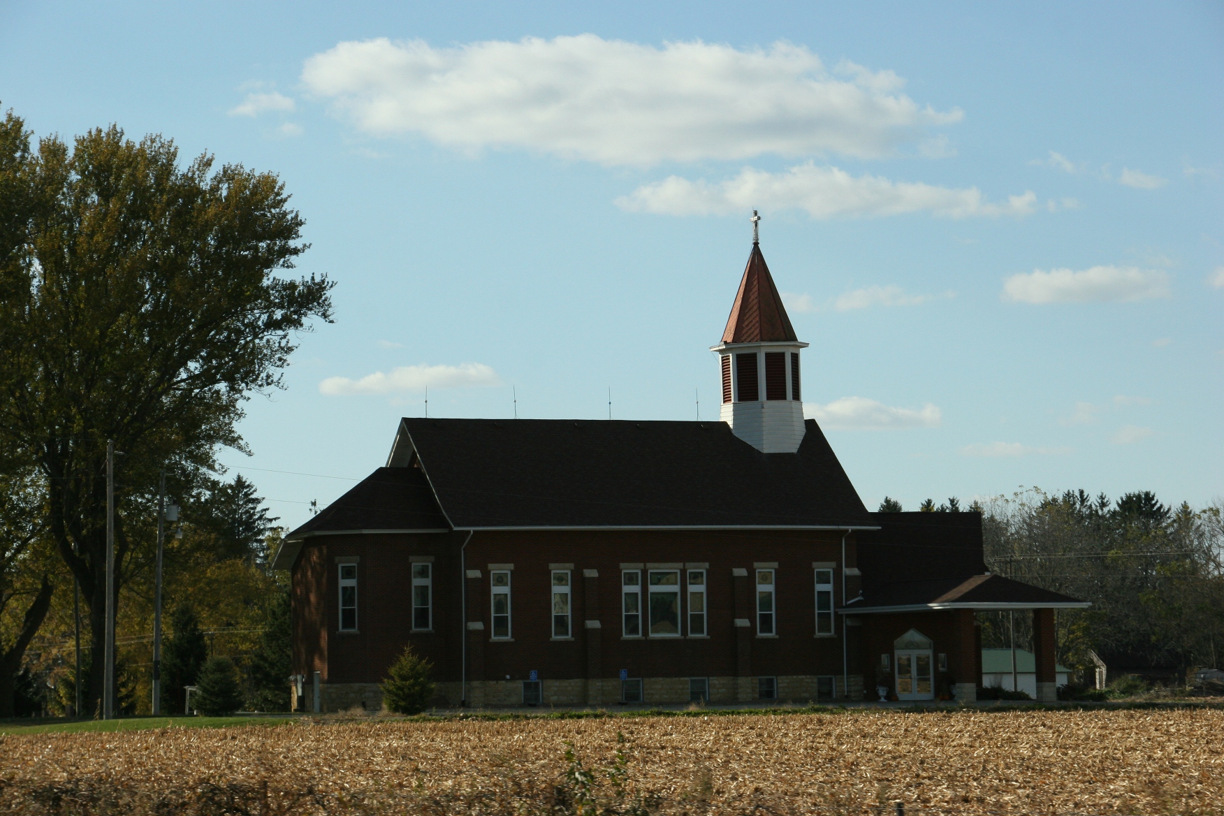
The detour added about 15 minutes to our drive time. But that was OK. I enjoy rural landscapes and passing places like Immanuel Lutheran Church and School, rural Courtland, the home congregation of my maternal ancestors.
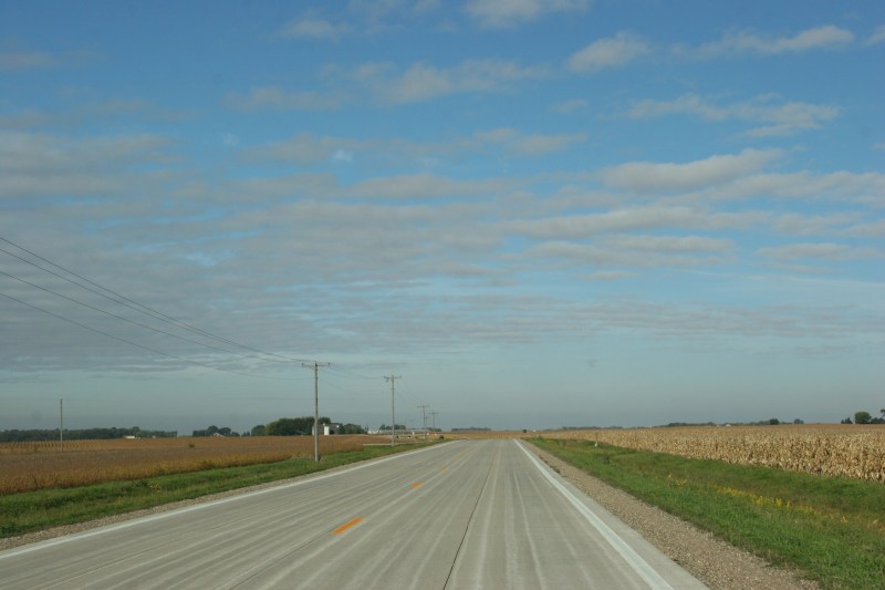
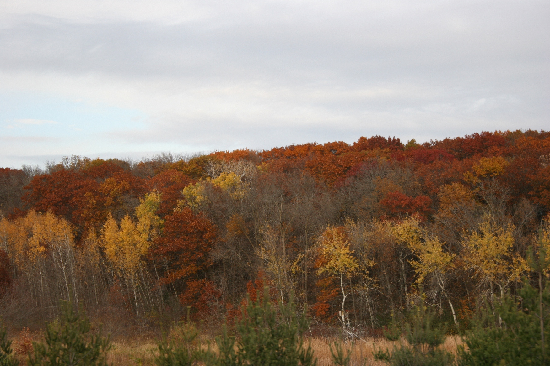
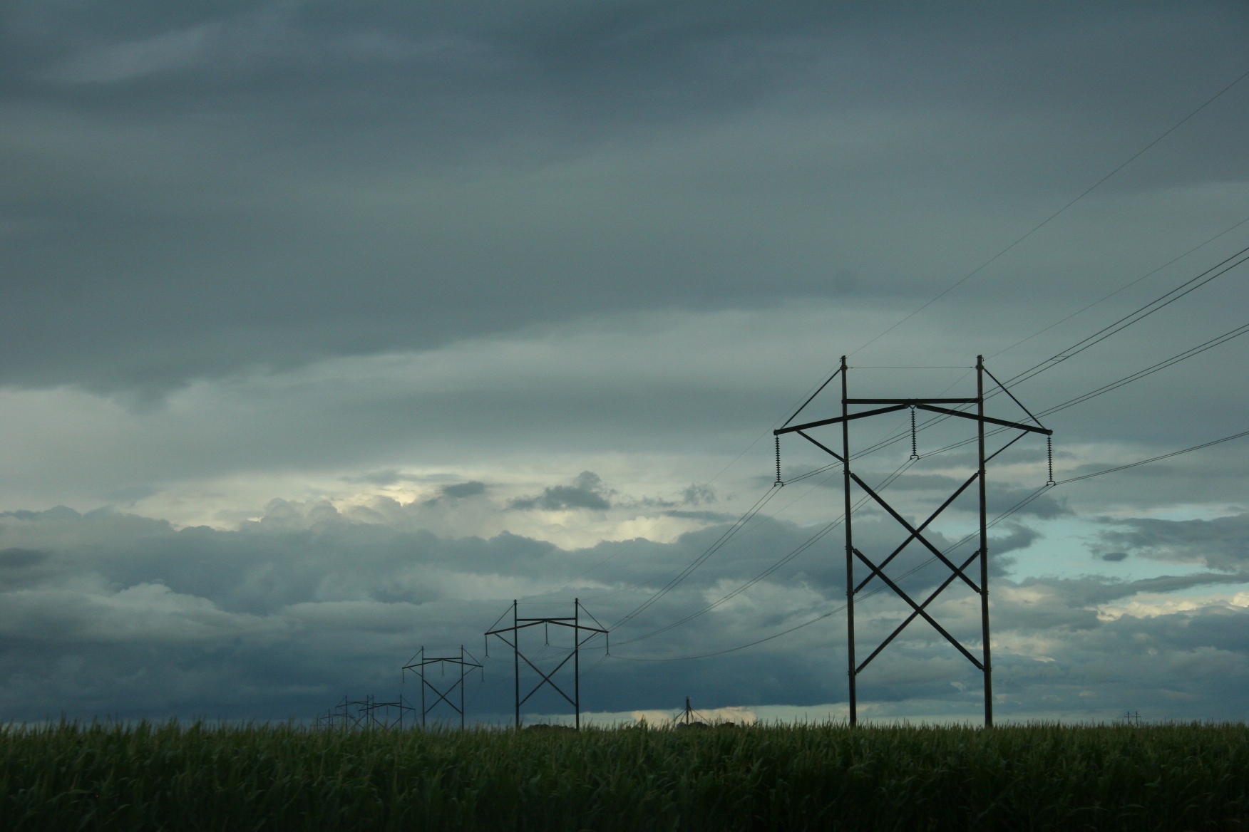
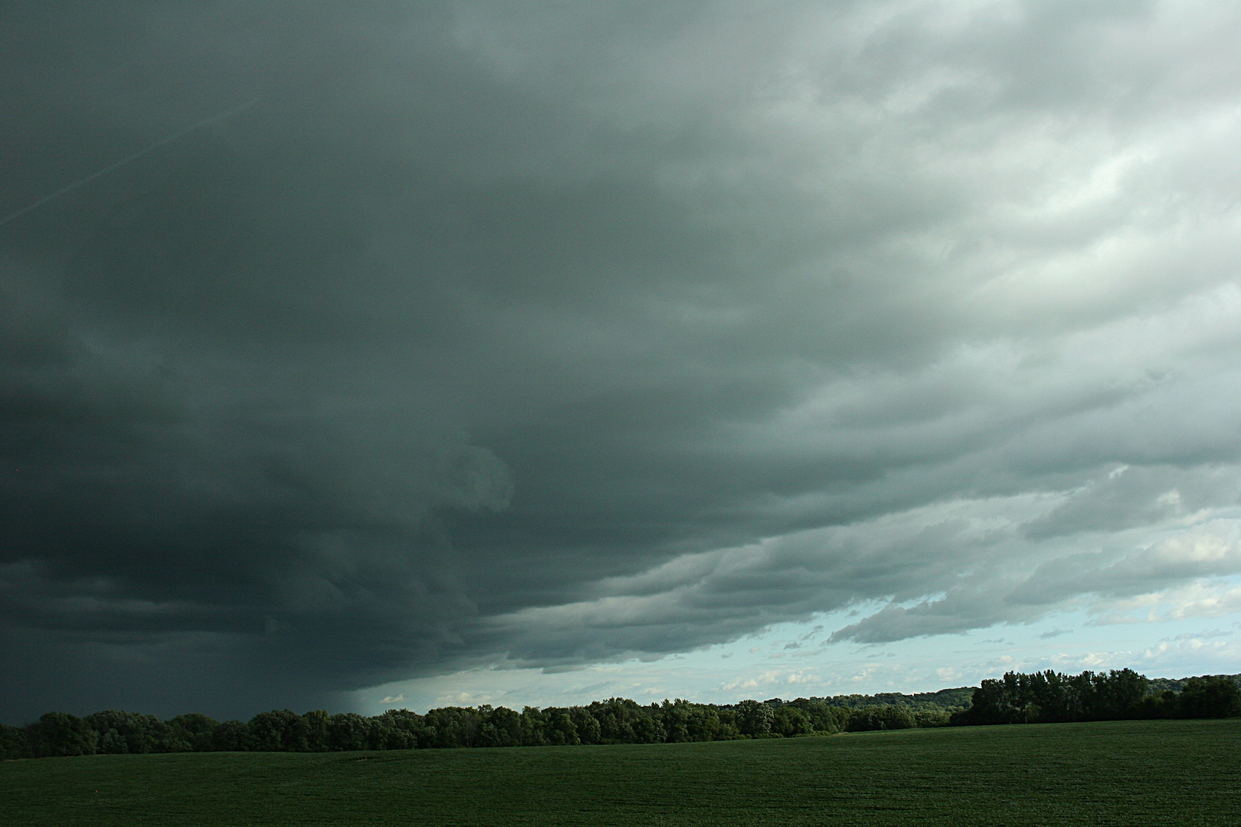
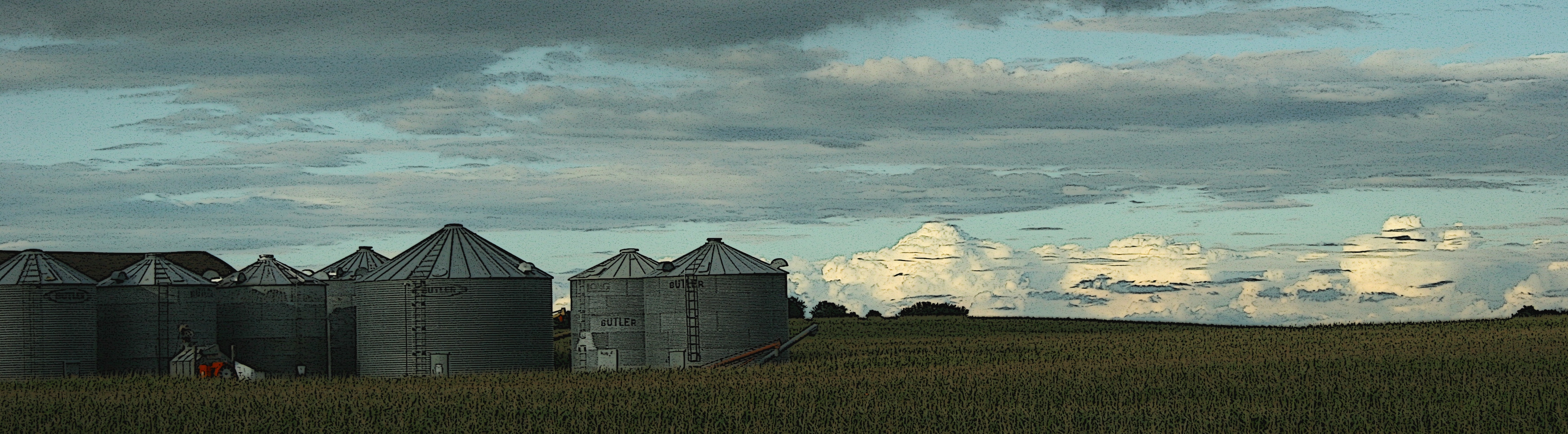
As we rounded Nicollet County Road 25 near its intersection with Highway 14, a spectacular view of the Minnesota River Valley unfolded before us. Vast blue sky striped with grey clouds butted the distant tree line. I could see for miles and miles and miles. It is not the mountains. But, still, the scene wrote lines of poetry before my prairie native eyes.
TELL ME: What are your thoughts on road construction, detours and/or dangerous roadways?
© Copyright 2016 Audrey Kletscher Helbling


Recent Comments