Minnesota Prairie Roots

Writing and photography by Audrey Kletscher Helbling

“Up North” observations from a southern Minnesotan October 1, 2026

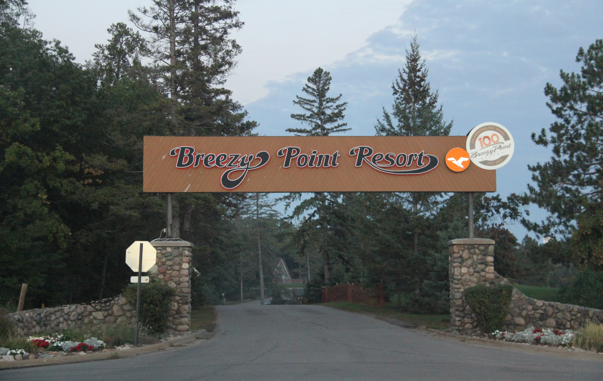
Breezy Point is a popular resort destination in the Brainerd Lakes area. (Minnesota Prairie Roots copyrighted photo September 2026)

TRAVELING NORTH OF THE TWIN CITIES from Faribault toward cabin and lake country, I’ve noticed a distinct difference in roadside billboards and businesses along the way. And that’s a reflection of how the southern part of Minnesota, where I live, differs from areas around Mille Lacs Lake, Brainerd and farther north.

Deer hunting requires processors like this one promoted on a billboard along U.S. Highway 169 in the Milaca area. (Minnesota Prairie Roots copyrighted photo September 2026)

While I come from a region rich in farmland and mostly wide open spaces with some lakes, that changes to the dense woods and pristine water of “Up North,” a decidedly Minnesotan term for a region of cabins, vacation rentals, lakeside homes and all things woodsy outdoors.
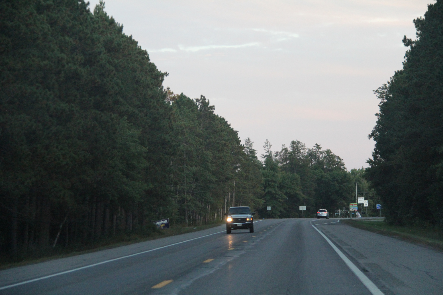
Woods hug State Highway 371 north of Jenkins. (Minnesota Prairie Roots copyrighted photo September 2026)

For nearly 10 years now, Randy and I have headed north along U.S. Highway 169 once or twice annually to a family member’s cabin south of Crosslake in Crow Wing County. And it is along that route, outside Zimmerman, that the land begins to shift from urban to a more rugged, rural, outdoorsy feel.
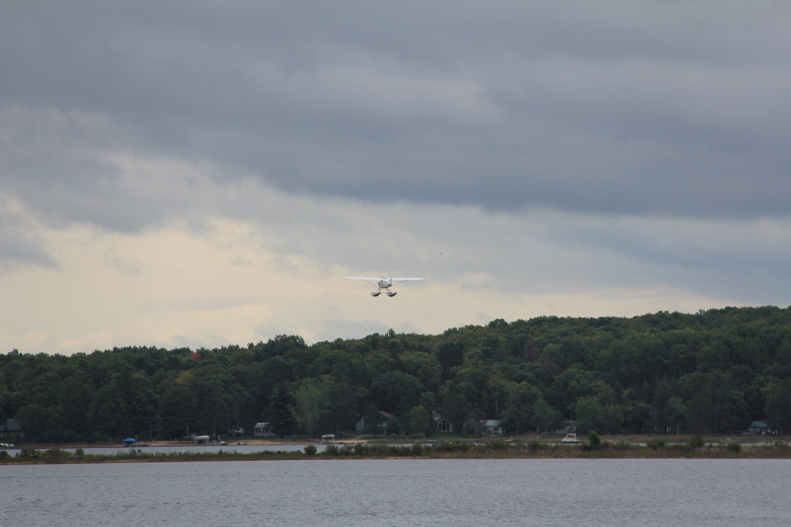
A float plane flies over Horseshoe Lake during a poker run. (Minnesota Prairie Roots copyrighted photo September 2026)

Here I begin to see signs for boats, beer and guns. Some of that reflects the hunting culture, others the recreational opportunities offered by the area’s many lakes. Fishing. Boating. Tubing. Even float planes flying in for a beer and brats poker run.

Mille Lacs Lake just south of Garrison. (Minnesota Prairie Roots copyrighted photo September 2026)

Mille Lacs Lake, which hugs a section of highway 169, is especially impressive for someone like me who grew up on the prairie, mostly absent of lakes. I feel somewhat unsettled looking across the vast expanse of water with no distant shoreline visible. Mille Lacs, at 132,516 acres, is Minnesota’s second largest inland lake.
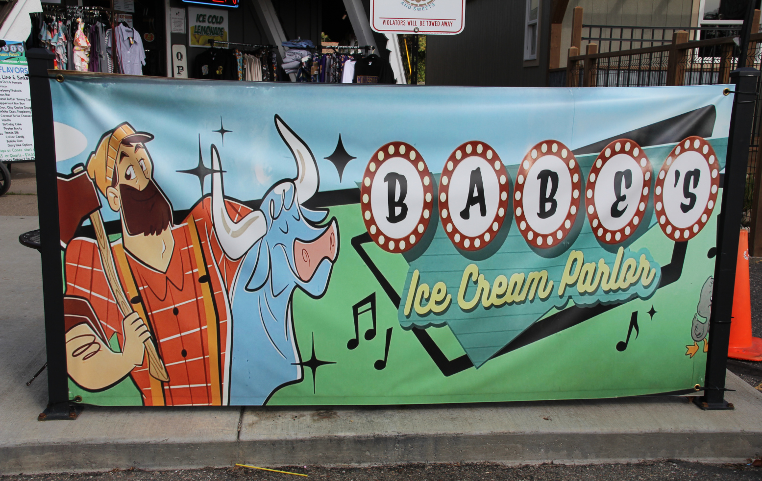
In Nisswa, an ice cream parlor taps into the Paul Bunyan and Babe legend. (Minnesota Prairie Roots copyrighted photo September 2026)

There’s a lot of water, a lot of woods Up North, where Paul Bunyan is comfortably at home among the pines. Businesses play off the fictional legendary lumberjack and his side kick, Babe the Blue Ox.
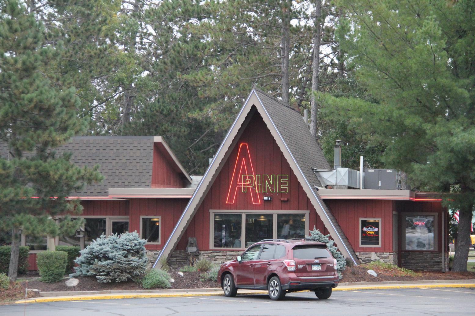
The appropriately-named A Pine Restaurant near Jenkins. (Minnesota Prairie Roots copyrighted photo September 2026)

Log cabin and A-frame style buildings, which would seem mostly out of place in southern Minnesota, blend seamlessly into the landscape here. The look is signature northwoods. Cozy. Comfortable. Often set against a backdrop of trees.
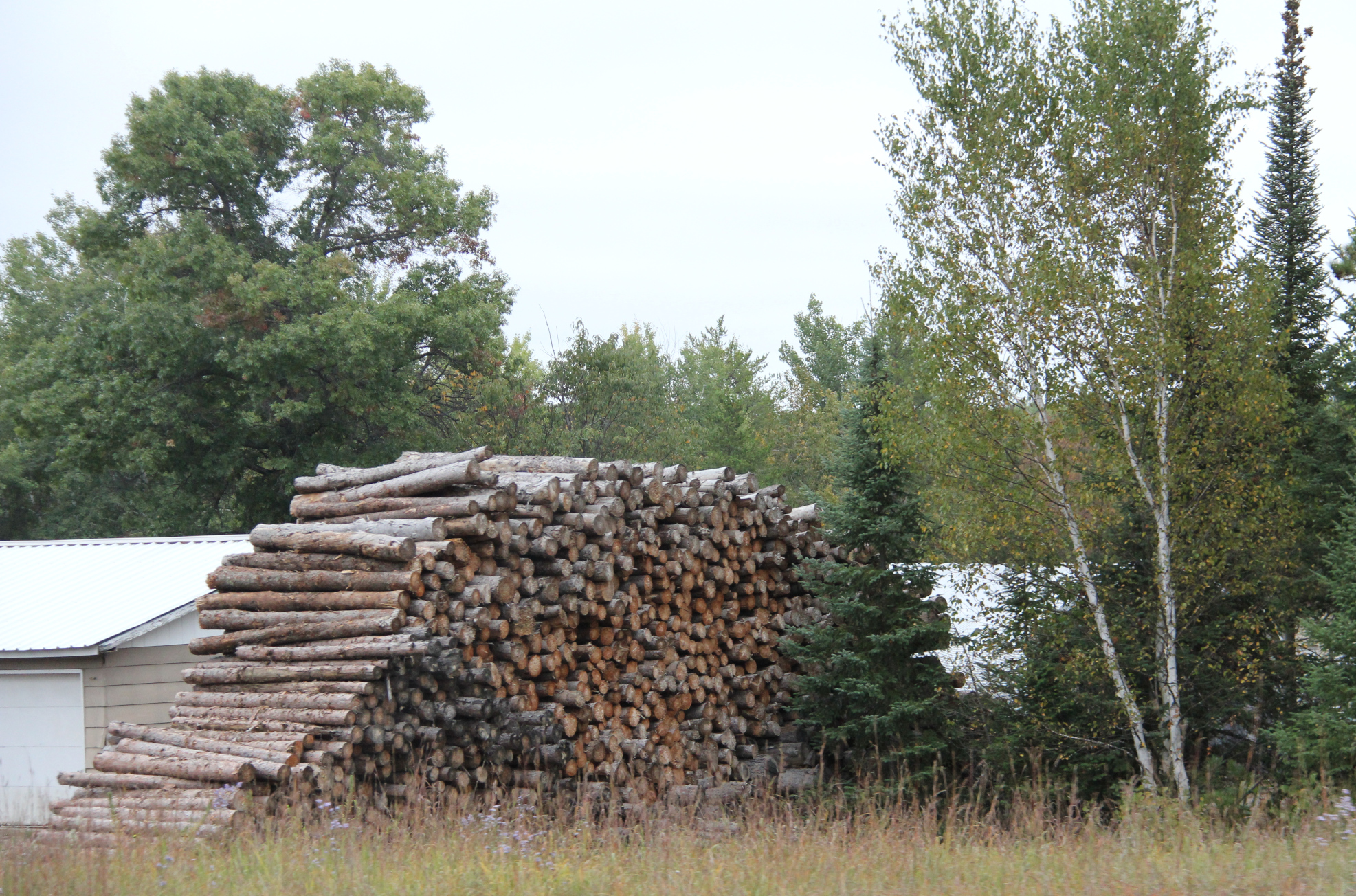
Logged lumber stacked along Minnesota State Highway 371 south of Hackensack. (Minnesota Prairie Roots copyrighted photo September 2026)

Stacks of logged trees and campfire wood for sale frequent roadsides.

A welcome sign on my brother-in-law and sister-in-law’s lake home south of Crosslake. (Minnesota Prairie Roots copyrighted photo September 2026)

Life feels more laid back Up North. Or maybe that’s because I arrive with the perspective of a visitor, someone who comes here to relax, to get away from everyday life. Whatever, this part of the North Star state feels different than southern Minnesota.
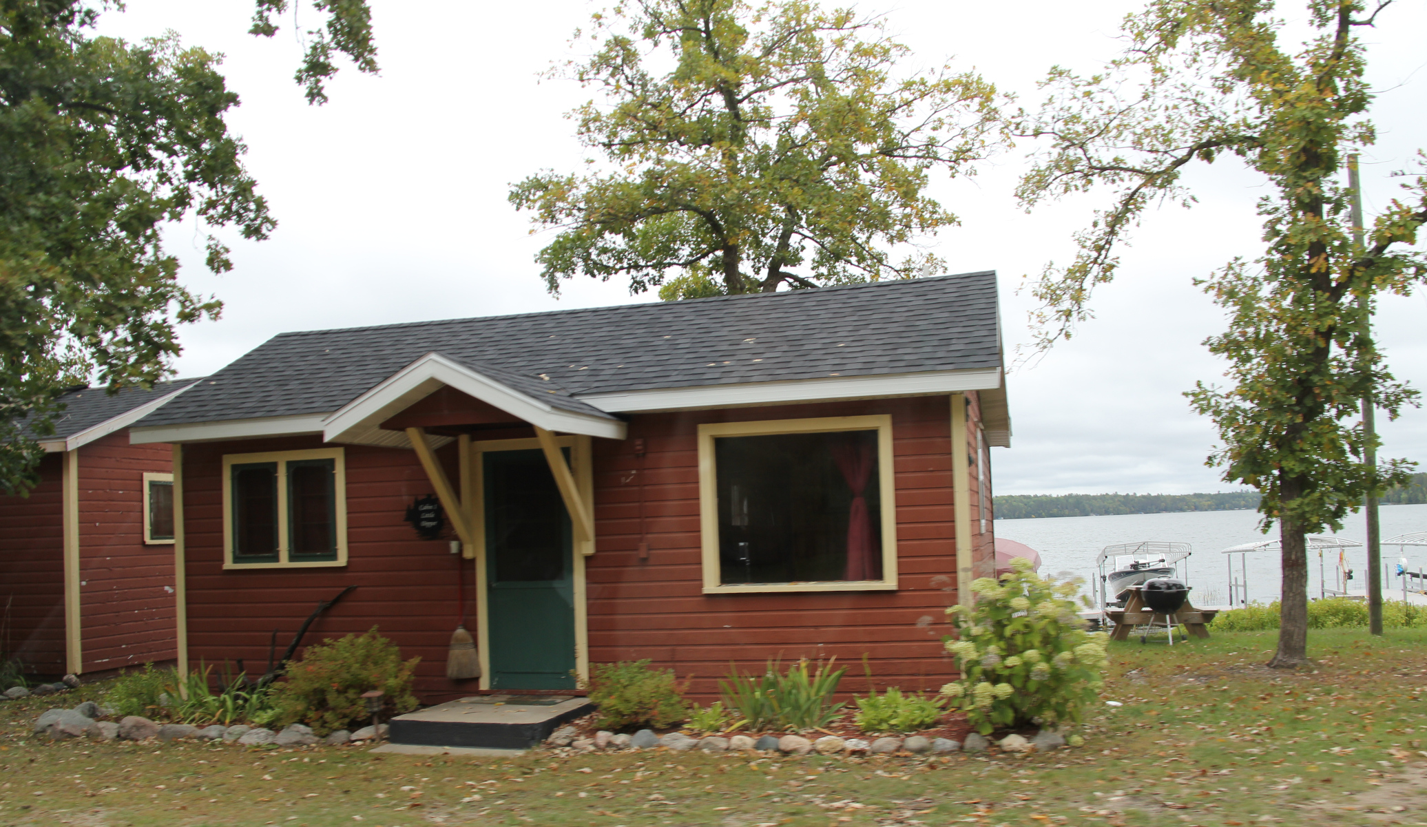
A lakeside cabin west of Hackensack. (Minnesota Prairie Roots copyrighted photo September 2026)

Here, rather than acres of corn and soybeans, acres of thick woods prevail with narrow roads cutting pathways to lakeside cabins, resorts, homes.
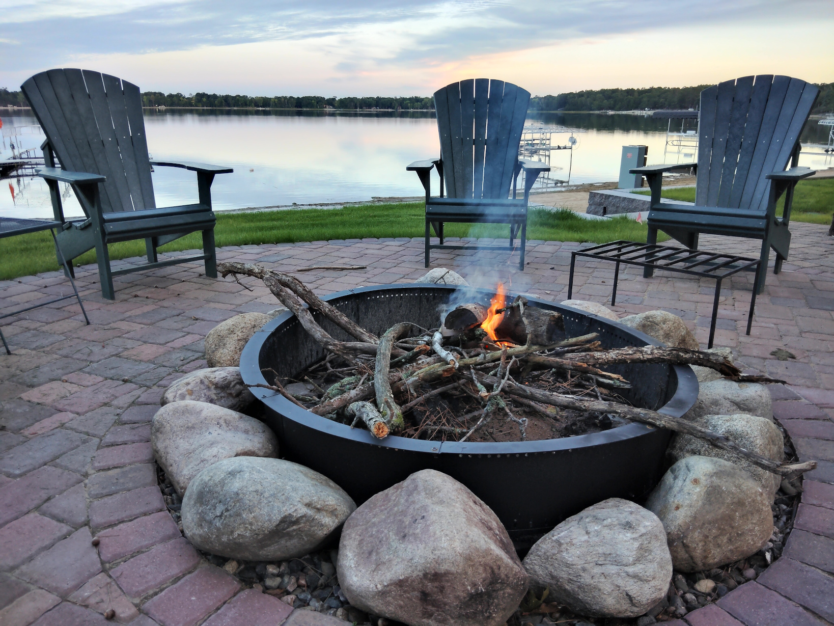
The start of an evening campfire along the shore of Horseshoe Lake. (Minnesota Prairie Roots copyrighted photo September 2026)

Here, Up North at the cabin, if I get up early enough, I can drink my morning coffee lakeside as the sun rises over Horseshoe Lake. Or listen to the haunting echo of loons. Or relax lakeside in the evening around a campfire.
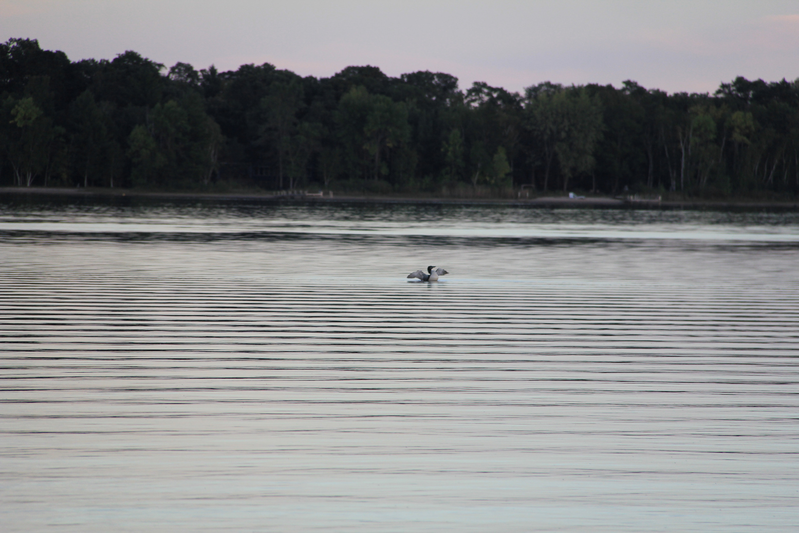
A loon rises and flaps its wings on Horseshoe Lake. (Minnesota Prairie Roots copyrighted photo September 2026)

Last trip north in mid-September, I didn’t want to leave. I dreaded heading south into heavy metro traffic, the speed, the chaos erasing the peace I carried within me. I knew work, in the form of an unfinished house project, awaited us.
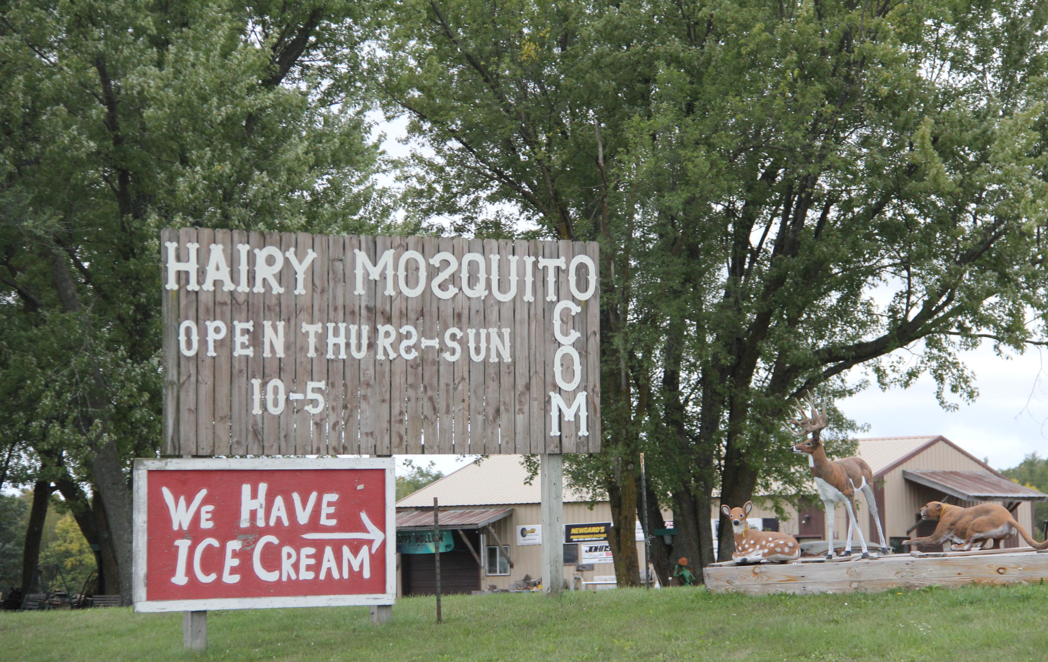
The Hairy Mosquito Trading Company along U.S. Highway 169 near Milaca. (Minnesota Prairie Roots copyrighted photo September 2026)

As we drove home, past the leaping deer statue in Deerwood, the deer processing billboards along the highway, the signs and art of The Hairy Mosquito Trading Company, the landscape began to change. Farms and fields. Abundant roadside businesses. More housing.

Traffic volume increased as we neared the Twin Cities. Busy, busy, busy. Oh, so busy. All the way to Faribault, even south of the metro along Interstate 35, vehicles zoomed.

© Copyright 2026 Audrey Kletscher Helbling


Escaping the heavy wildfire smoke in north central Minnesota July 16, 2026

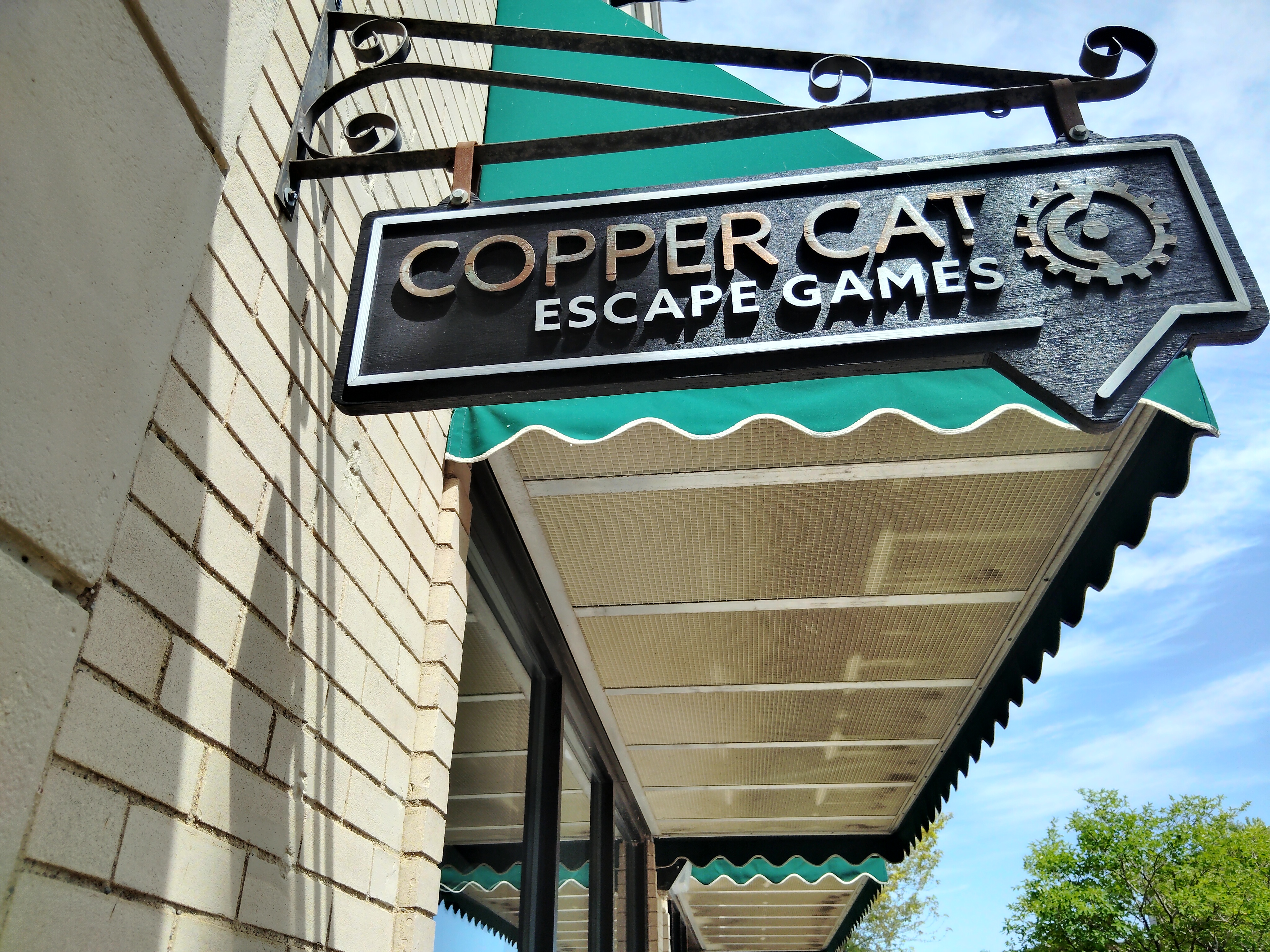
Signage on an escape room business in downtown Brainerd, photo taken Monday afternoon before wildfire smoke rolled in. (Minnesota Prairie Roots copyrighted photo July 2026)

IN THE EXTREME HEAT and humidity of Monday afternoon, my husband and I and our eldest daughter and her family escaped to Copper Cat Escape Games in Brainerd to sleuth for Granny’s hidden secret recipe. It was great fun finding and solving clues, unlocking boxes and finally solving the mystery with five minutes to spare.

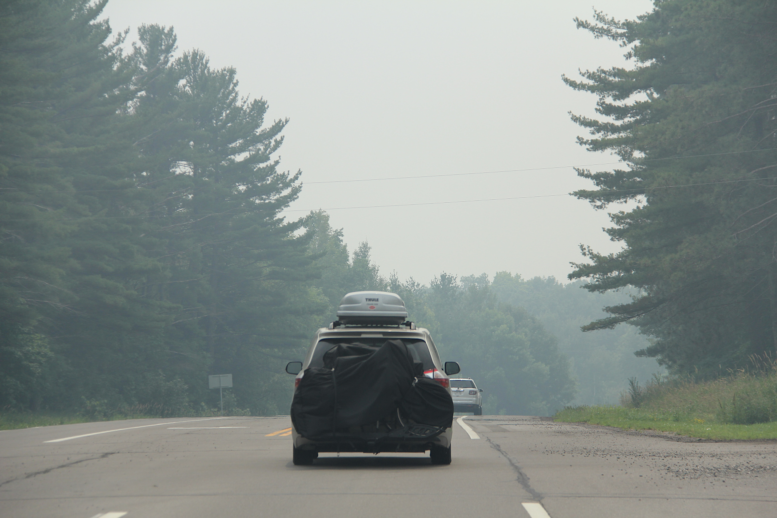
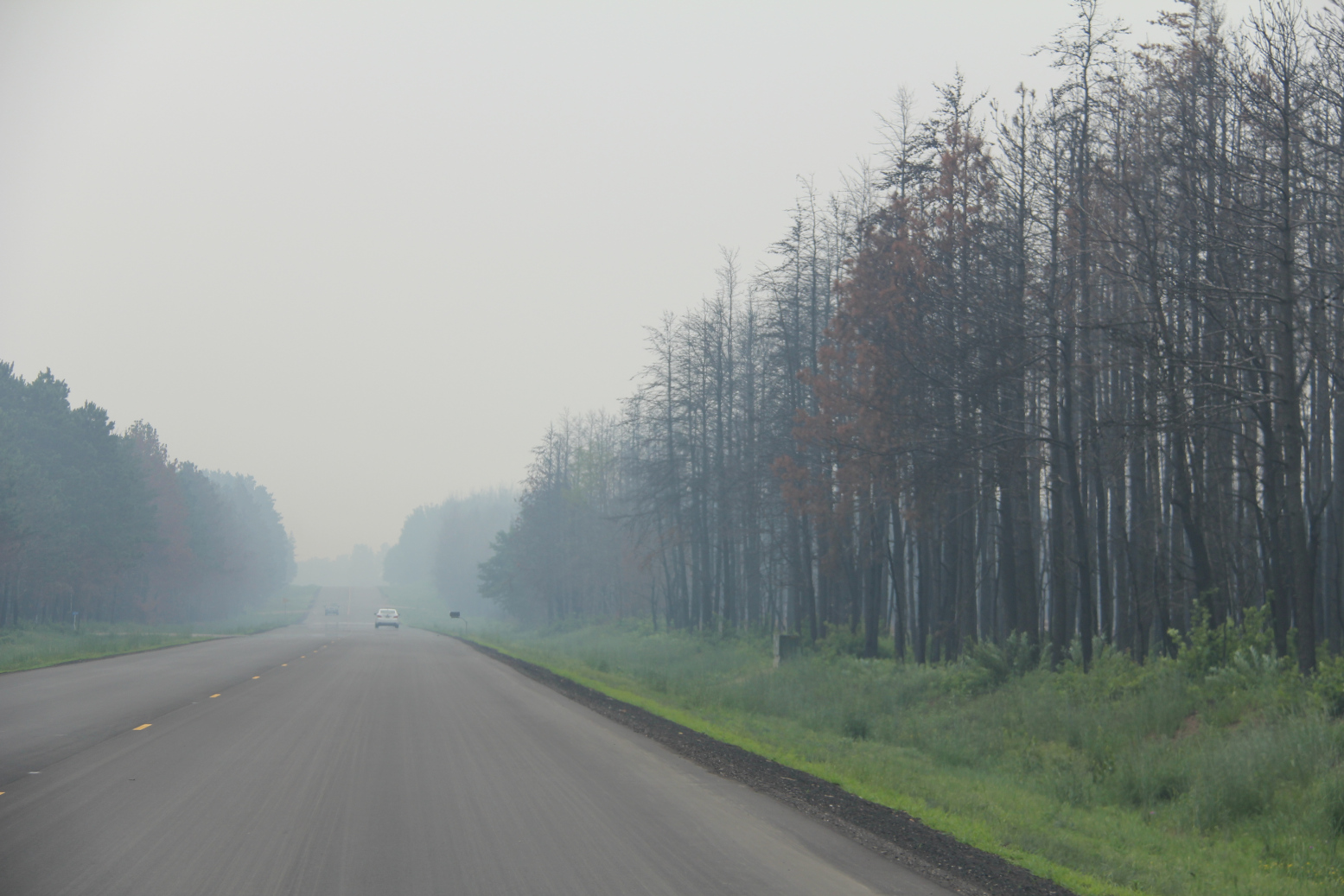
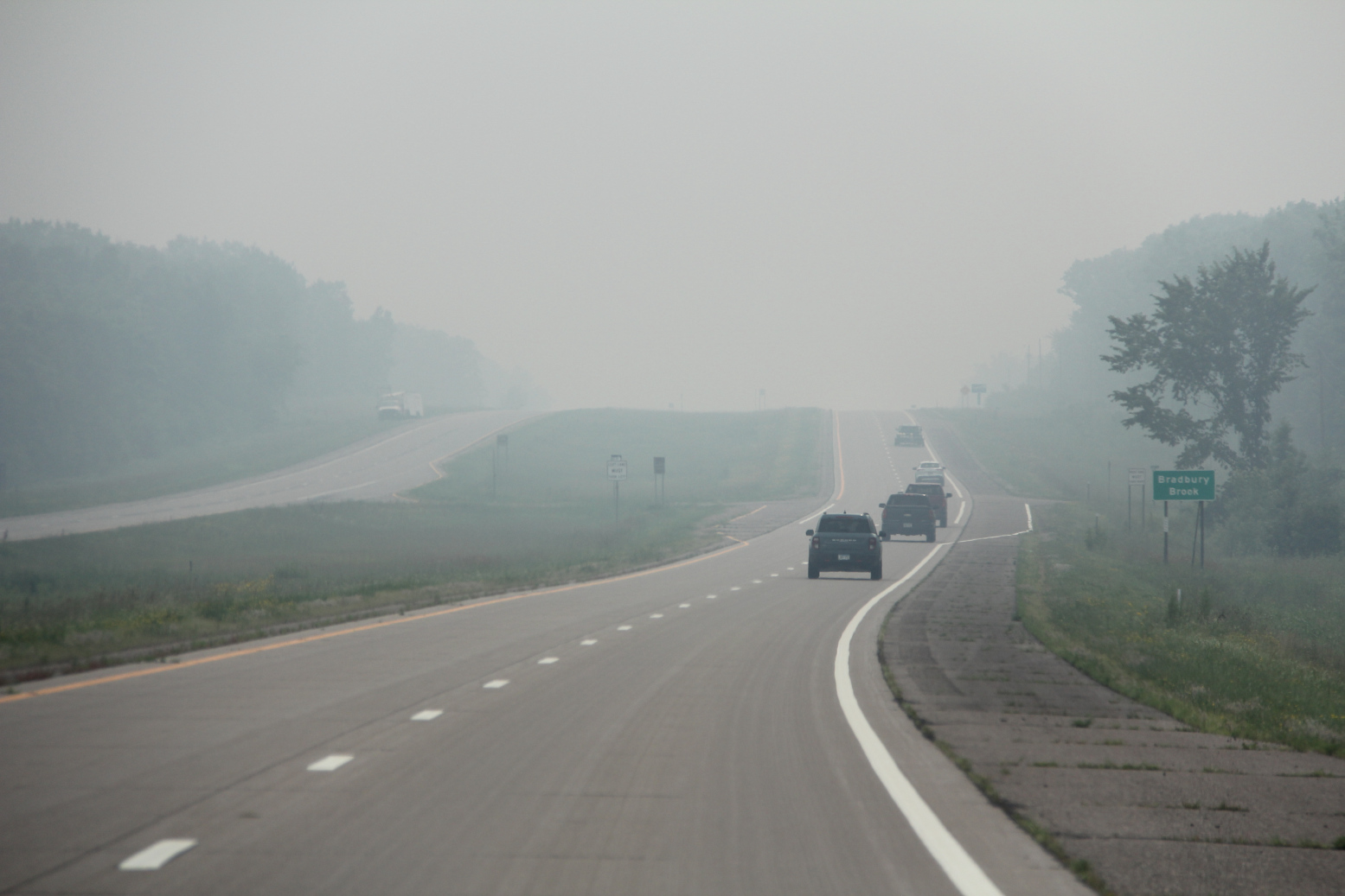
Driving into and through wildfire smoke early Wednesday afternoon near Garrison. I took these photos as a passenger. (Minnesota Prairie Roots copyrighted photo July 2026)

On Wednesday afternoon, we escaped, too, but this time from intense wildfire smoke which blew in from the north, enveloping the Brainerd Lakes area cabin where we were vacationing. We’ve experienced smoke on previous visits. This time, though, the smoke was especially thick, intense and oppressive.

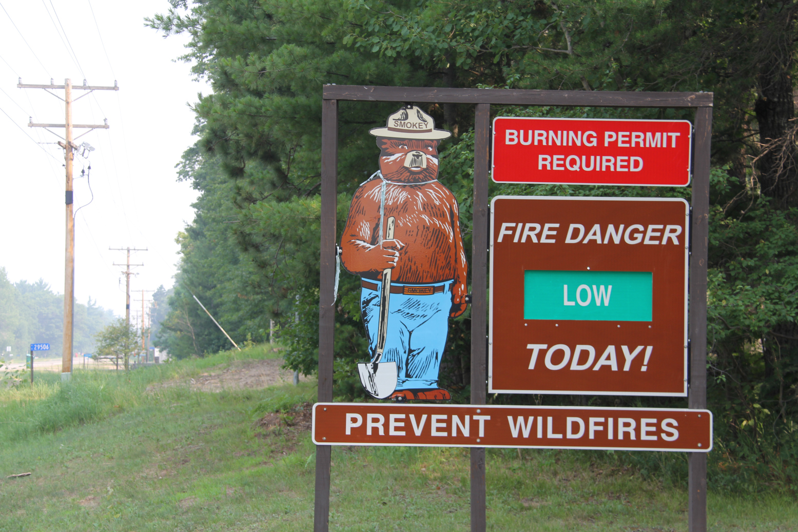
After leaving Mission Park and before reaching the cabin, I photographed this sign by the Mission Town Hall. Fire danger was low here Wednesday with the smoke (seen to the left) coming from wildfires up north. (Minnesota Prairie Roots copyrighted photo July 2026)

The smoke rolled in as Randy and I were hiking at Mission Park only a short drive from the Horseshoe Lake cabin south of Crosslake. We emerged from the woods to see dense smoke. Initially, we thought someone was burning, but soon realized the source—wildfires to the north in Canada and northern Minnesota.

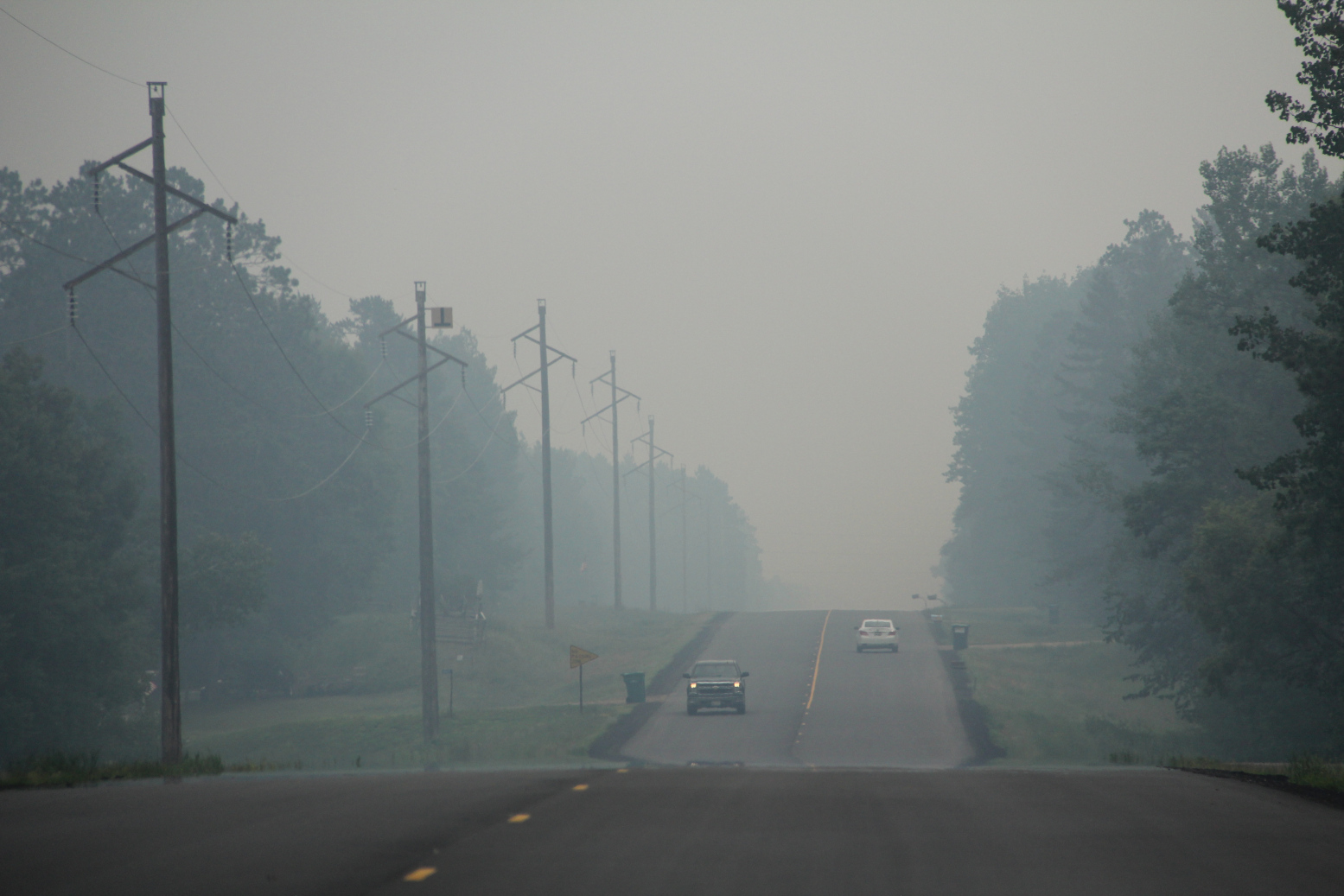
Driving through dense smoke along Crow Wing County Road 11 south of Crosslake early Wednesday afternoon. (Minnesota Prairie Roots copyrighted photo July 2026)

Wildfires are raging in areas in and around the Boundary Waters Canoe Area with campers there evacuated earlier in the week and the BWCA closed. Evacuation orders have been issued in parts of St. Louis, Cook and Lake counties in the northeastern part of Minnesota. Camps are closing, kids sent home. And on and on. Resorts, outfitters and other businesses that rely on seasonal income are suffering.

And across nearly all of Minnesota, we are breathing in smoke at levels classified as hazardous, very unhealthy, unhealthy and more by the Minnesota Pollution Control Agency. That includes right here in my county of Rice in the southern part of the state far from the wildfires.

But the level here in Faribault is nothing compared to what we saw and breathed in yesterday in the Brainerd Lakes area. That smoke smelled of infinite campfires, stung our eyes, made it hard to breathe, reduced visibility.

Our plans to spend the day exploring and enjoying the small towns near the cabin quickly pivoted to packing and heading home a day earlier than intended. Our daughter and her family left a day prior, as scheduled.

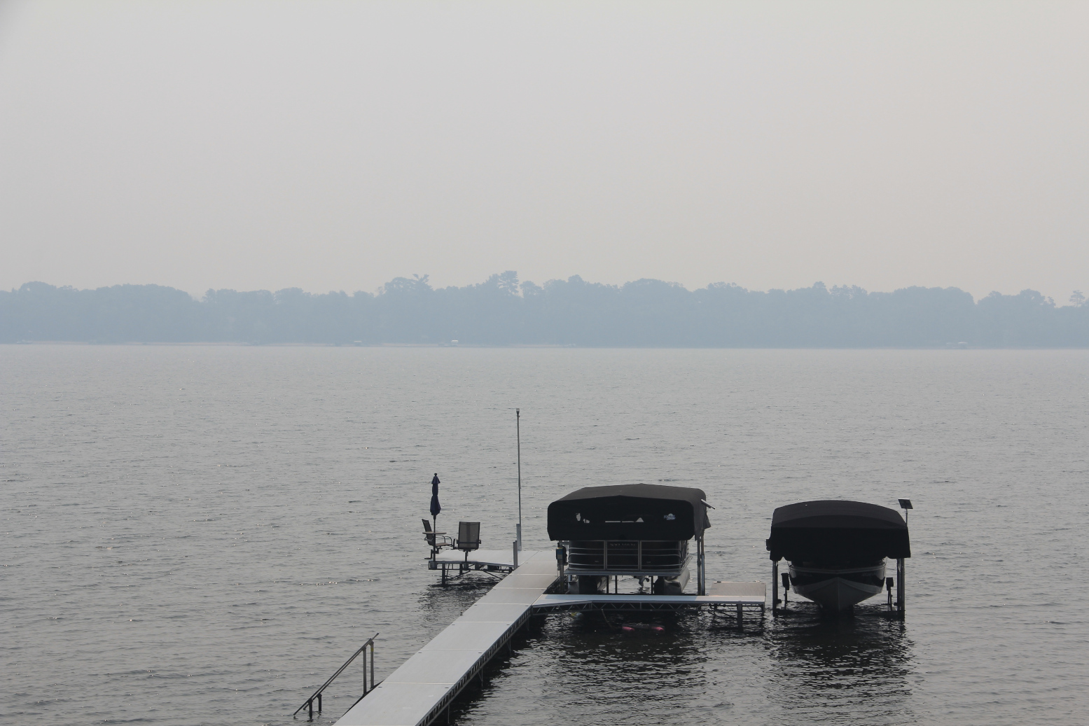
Looking across Horseshoe Lake in the thick smoke late Wednesday morning. (Minnesota Prairie Roots copyrighted photo July 2026)

It was the right decision to leave on Wednesday. Already visibility across Horseshoe Lake was so limited that the opposite shore appeared only an outline of trees. Smoke and the stench of smoke hung in the air. The toxic air felt suffocating.

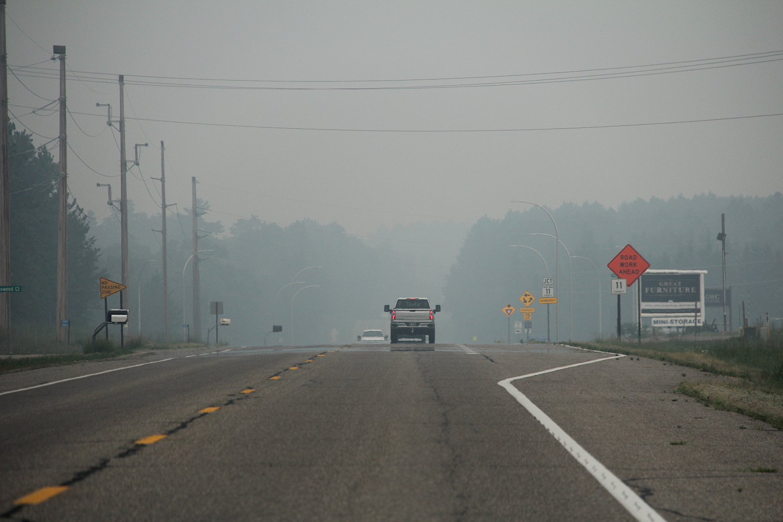
Northbound toward Crosslake, this shows the heavy smoke in the area at the intersection of Crow Wing County roads 3 and 11 early Wednesday afternoon. (Minnesota Prairie Roots copyrighted photo July 2026)

Once on Crow Wing County Road 3, Randy and I could see the scope of the smoke spreading far and wide, blanketing the landscape.

Driving through the smoke, past charred trees, right, burned in the Flanders Fire in May south of Crosslake. (Minnesota Prairie Roots copyrighted photo July 2026)

Onward we drove, turning onto county road 11, passing stands of charred trees and cleared land from a mid-May wildfire in Mission Township. The irony was not lost on me.

Mile after mile, we traveled in smoky conditions. In Crosby, life appeared business as usual with a packed downtown, despite the smoke. Shoppers walking in and out of shops. Bikers biking.

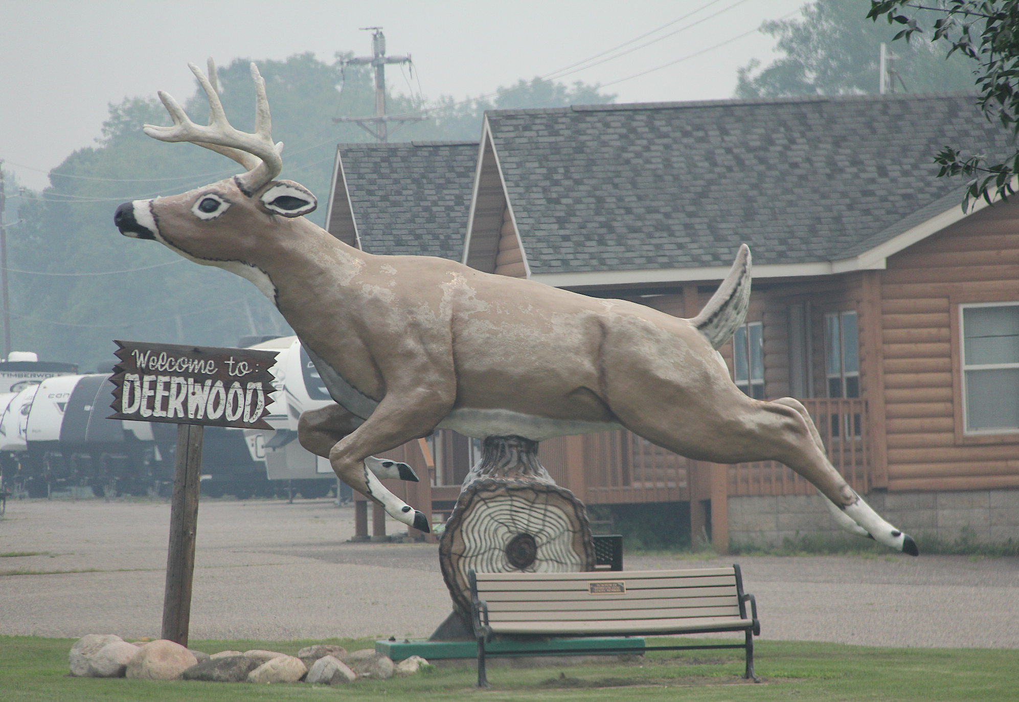
Smoke surrounds the roadside deer statue in Deerwood. (Minnesota Prairie Roots copyrighted photo July 2026)

In Deerwood, a roadside deer statue appeared to leap through the smoke in an attempt to escape.

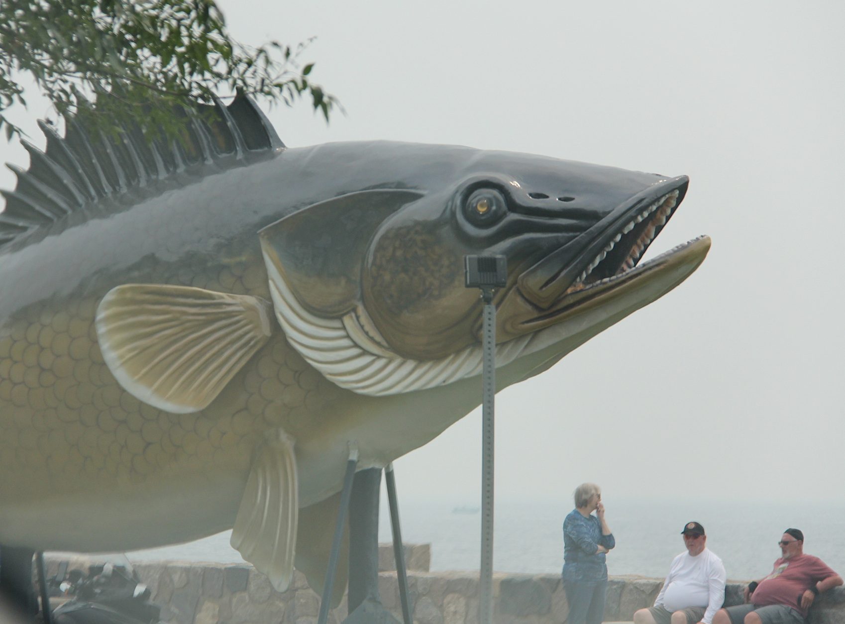
Wildfire smoke screens the view of Mille Lacs Lake by the roadside walleye statue. (Minnesota Prairie Roots copyrighted photo July 2026)

In Garrison, visitors at the Mille Lacs Lake overlook could see the roadside statue, but not much of the lake.

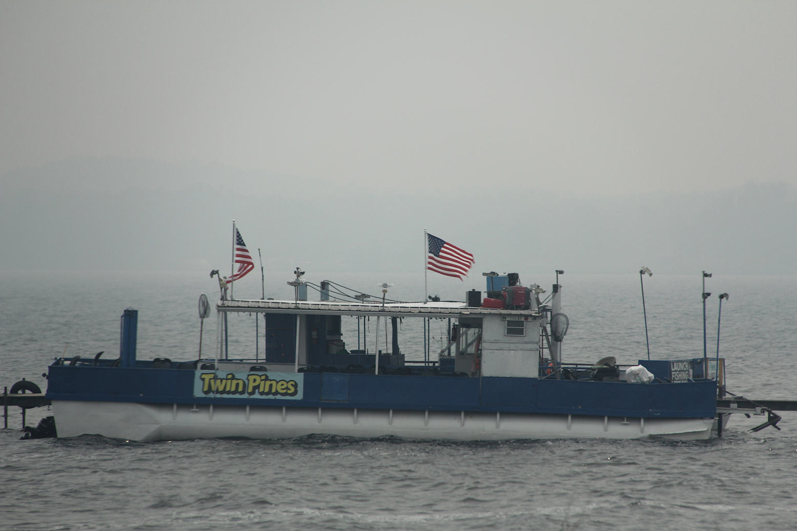
Wildfire smoke backdrops a docked boat on Mille Lacs Lake Wednesday afternoon. (Minnesota Prairie Roots copyrighted photo July 2026)

Down the road a bit, a guy jogged alongside U.S. Highway 169. Smoke still hung thick. I wondered how his body could tolerate the polluted air. Mine can’t.

Motorists travel through thick wildfire smoke along US Highway 169 south of Mille Lacs Lake early Wednesday afternoon. (Minnesota Prairie Roots copyrighted photo July 2026)

We thought we would soon drive out of the wildfire smoke. But we drove past endless towns along highway 169—Onamia, Milaca, Princeton, Zimmerman… Not until we reached Elk River in the northwest metro two hours later did the smoke dissipate and open to blue skies. Then and only then did I feel like I could breathe easier.

I hope Minnesotans living near the 17 uncontrolled wildfires, and firefighters, plus our Canadian neighbors, can soon breathe easier, too. Rain is needed.

Looking across Horseshoe Lake late Wednesday morning, the opposite shoreline is obscured by wildfire smoke. (Minnesota Prairie Roots copyrighted photo July 2026)

Yet, I know these fires can burn for weeks, ravaging the landscape, polluting the air, impacting businesses and sometimes changing vacation plans. But leaving the lake cabin a day early to escape the smoke is nothing, truly nothing, in the story of wildfires.

TELL ME: Are you being affected by wildfires? If yes, I’d like to hear your story.

© Copyright 2026 Audrey Kletscher Helbling
 

Highway blessings in St. Peter November 25, 2015

Filed under: Uncategorized — Audrey Kletscher Helbling @ 5:00 AM
Tags: , , , , , ,

YOU’LL FIND IT in the gospels of Matthew, Mark and Luke. And in the Psalms:

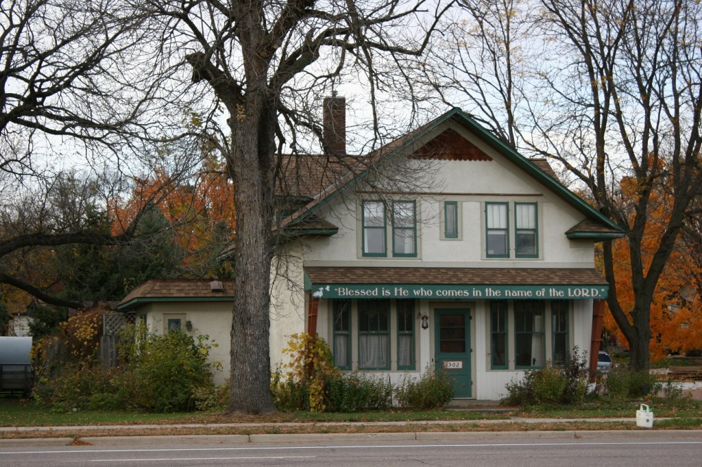
Blessed is He who comes in the name of the Lord.

Blessed is He who comes in the name of the Lord, St. Peter, MN.


You will also find this Scripture in St. Peter. The town. The words banner across the front of a house along South Minnesota Avenue/U.S. Highway 169 which slices right through the heart of this southern Minnesota community.

I know nothing about the house—whether it’s home or business or something else.

But I know that I appreciate the blessing of this bible verse upon travelers like myself passing through St. Peter.

If you are traveling this holiday, may your journey be safe.

#

Click here to read my first post in this three-part “blessings” series. Check back on Thanksgiving to read my personal list of blessings during the past year.

© Copyright 2015 Audrey Kletscher Helbling