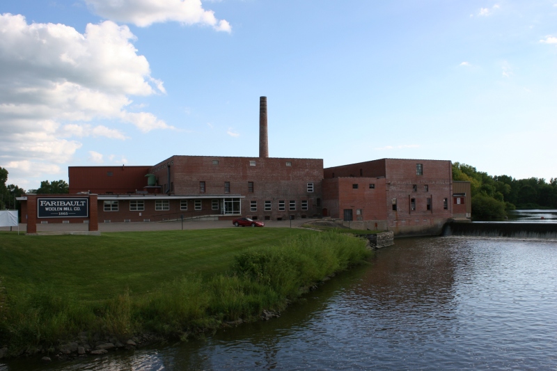
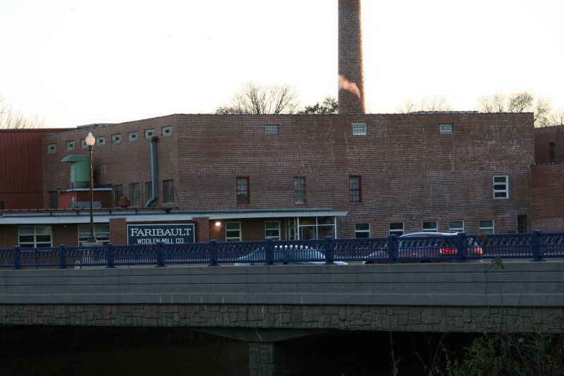
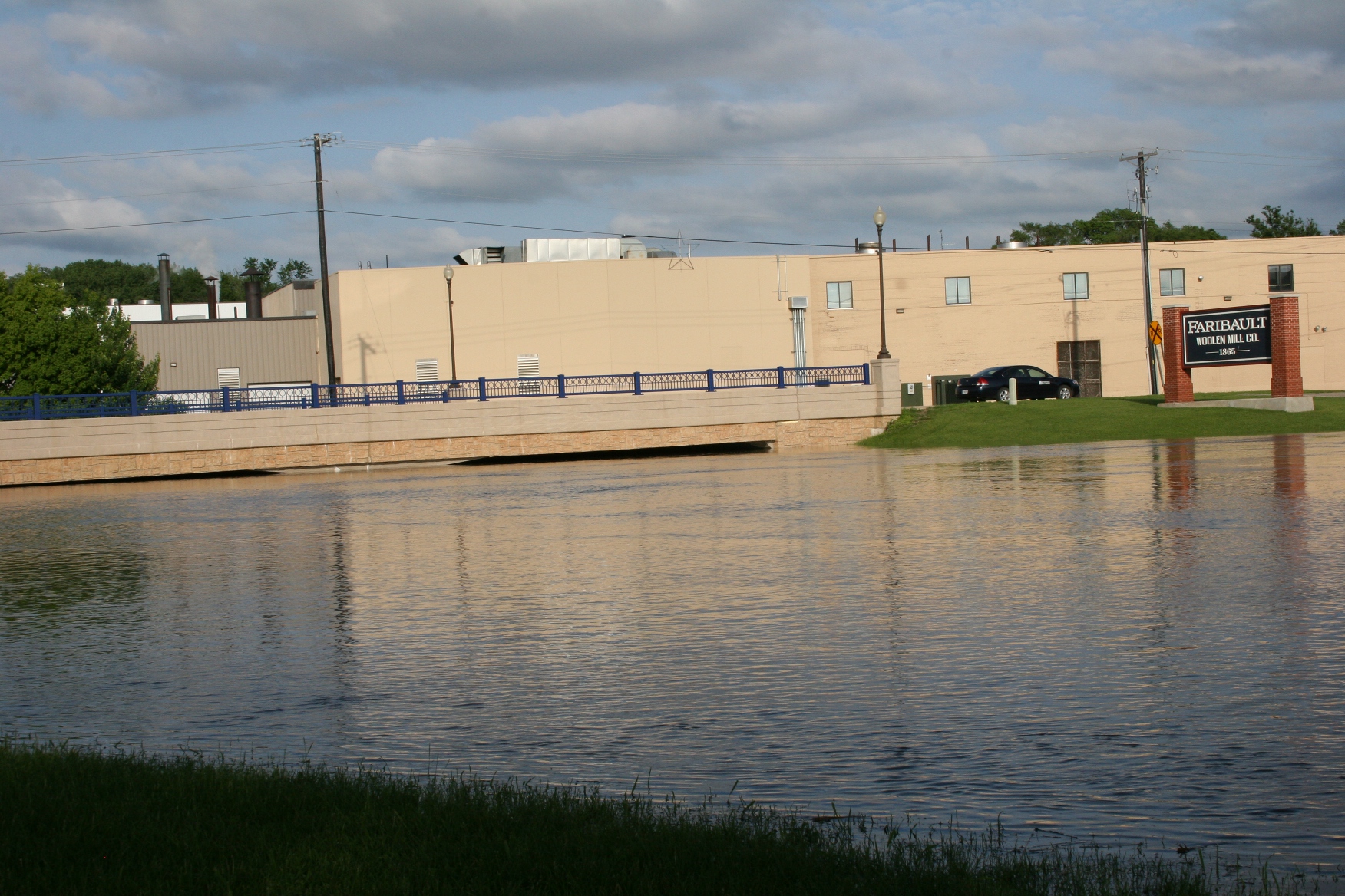
The Faribault Woolen Mill sits on the bank of the Cannon River. Minnesota Prairie Roots file photo.
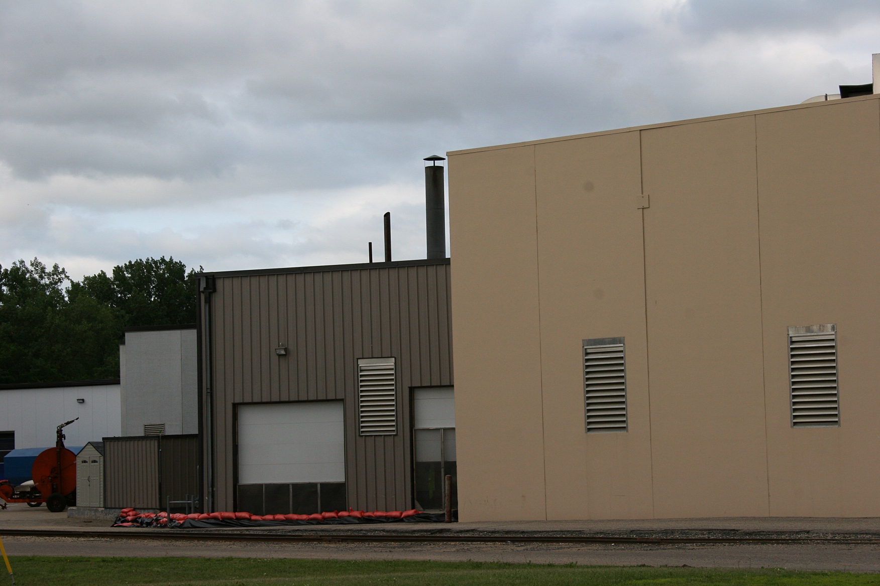
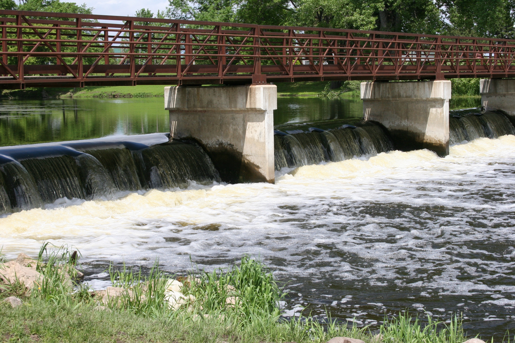
SNUGGED ALONG THE BANKS of the Cannon River in Faribault, the 150-year-old Faribault Woolen Mill stands as a noted local landmark and a nationally-recognized producer and purveyor of high quality wool blankets and more.
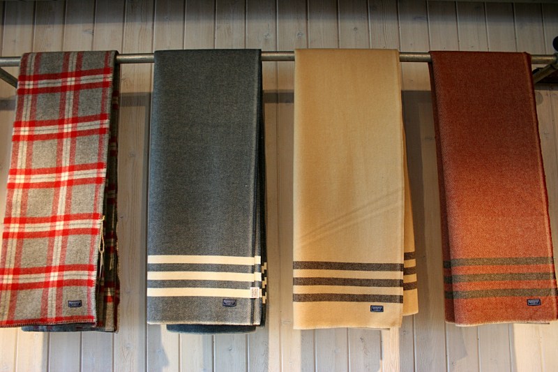
Faribault Woolen Mill blankets/throws are artfully hung on a simple pipe. Minnesota Prairie Roots file photo.
In recent years, with the acquisition of the briefly-closed mill by successful and marketing savvy Minnesota businessmen, the mill has experienced growth and significant national exposure. Many times I’ve picked up a magazine to see the mill’s products featured.

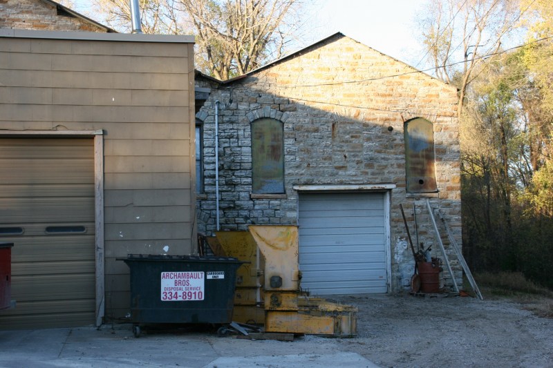
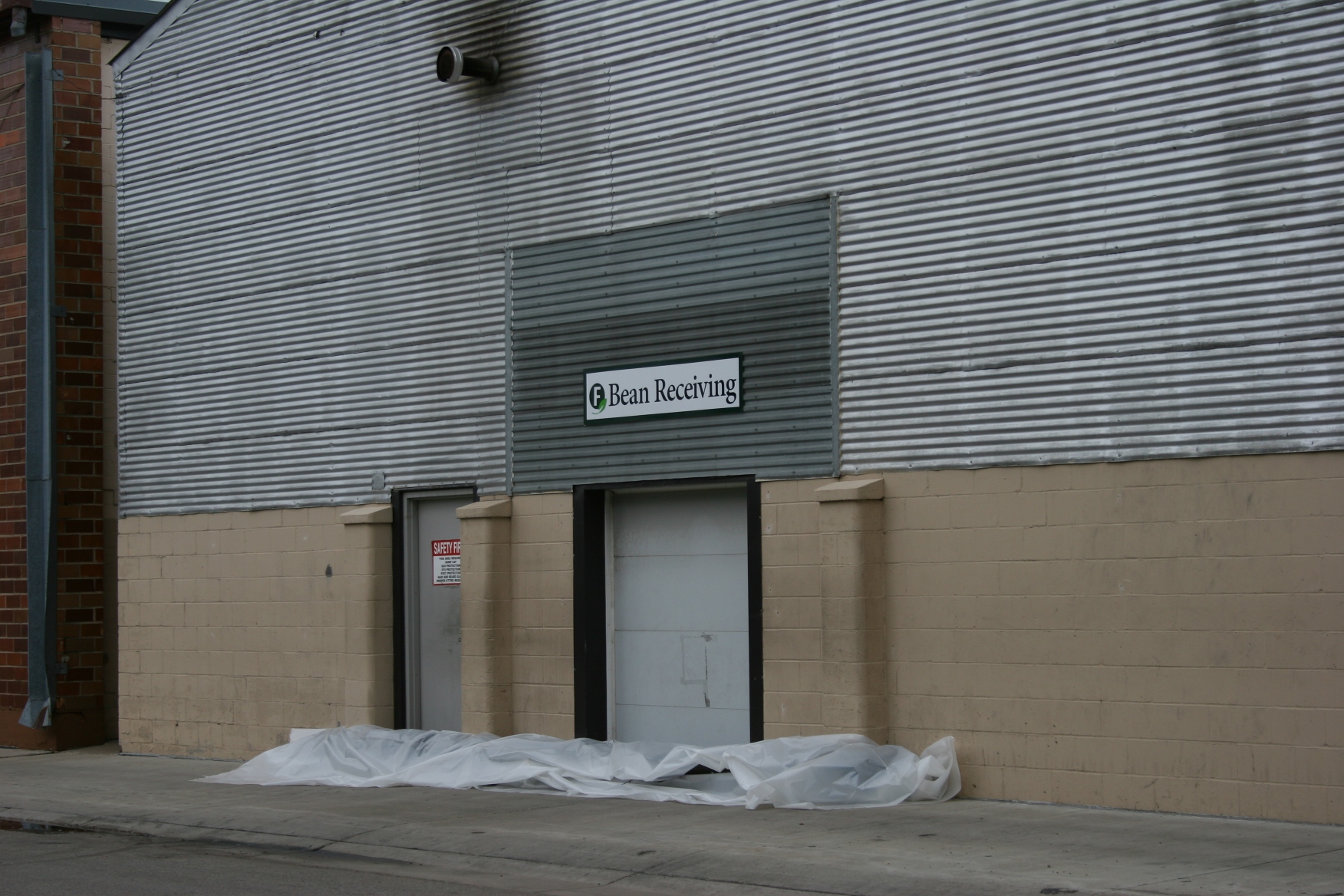
In the upper left corner of the mill, the sign unnoticed by me until several days ago.
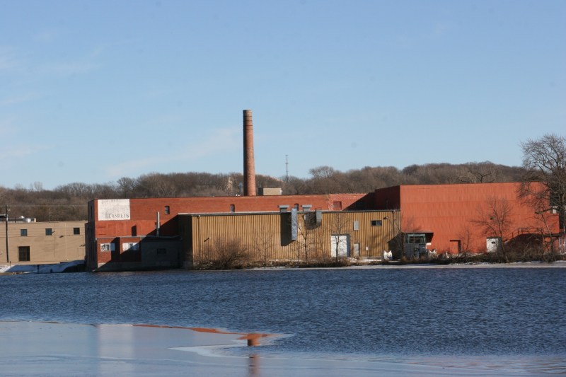
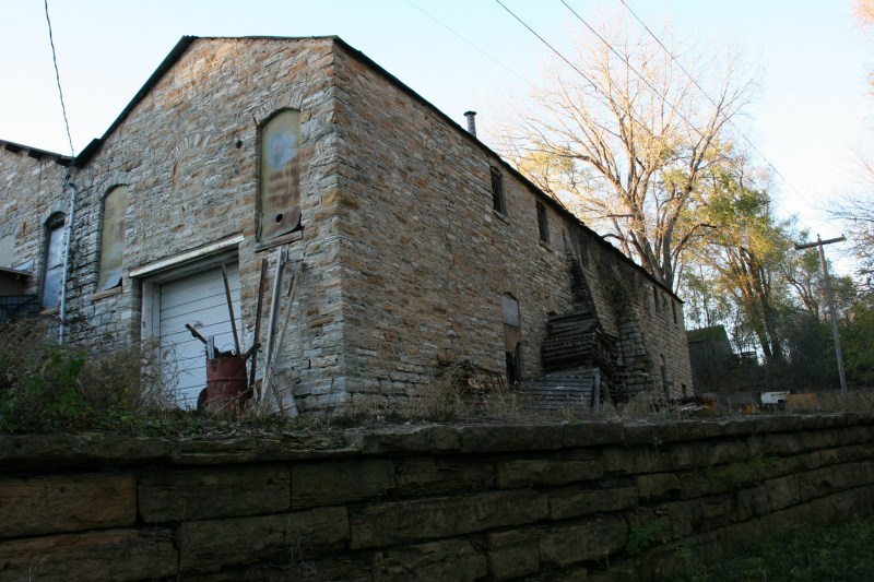
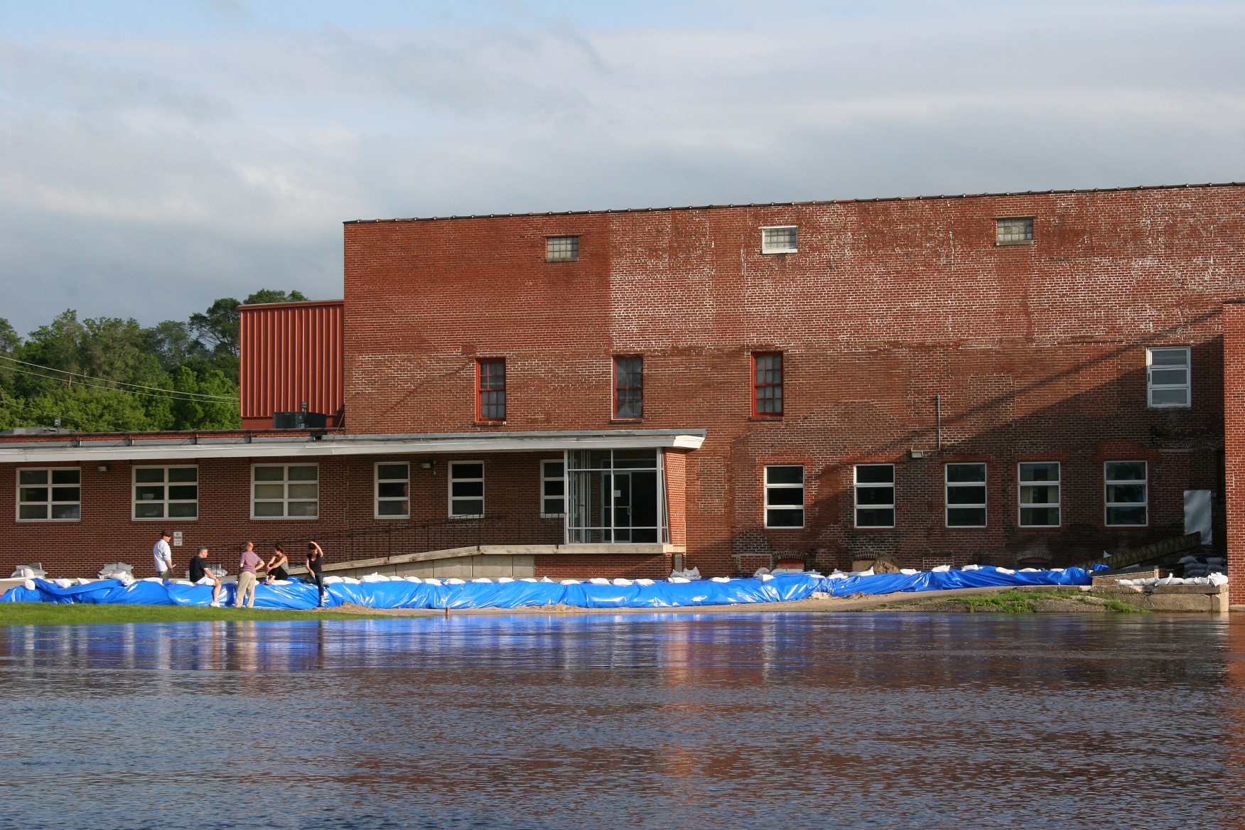
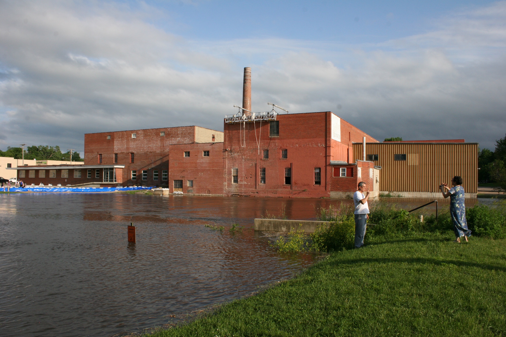
What I’d not noticed until recently was a faded sign along the back side of the historic mill, the side visible from North Alexander Park. My view of the mill complex is typically the public side motorists see while driving by on Second Avenue.
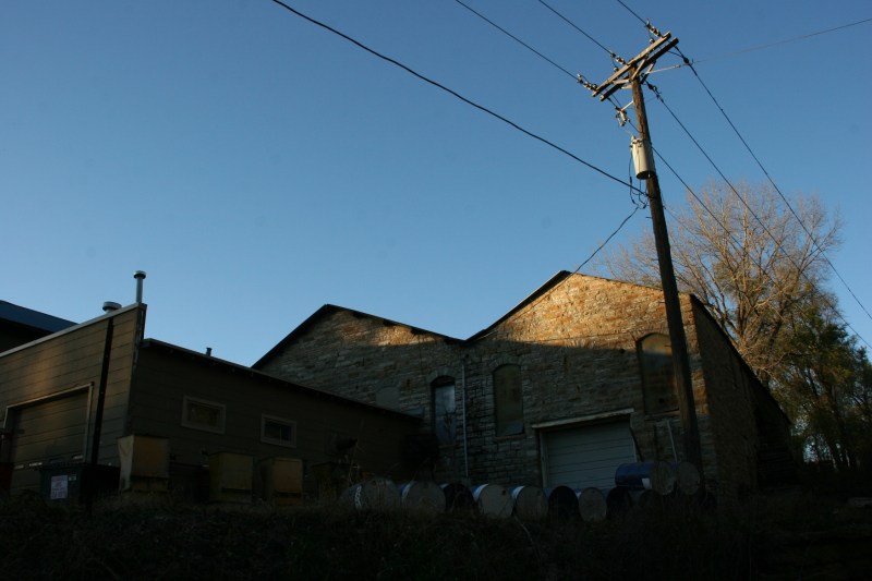
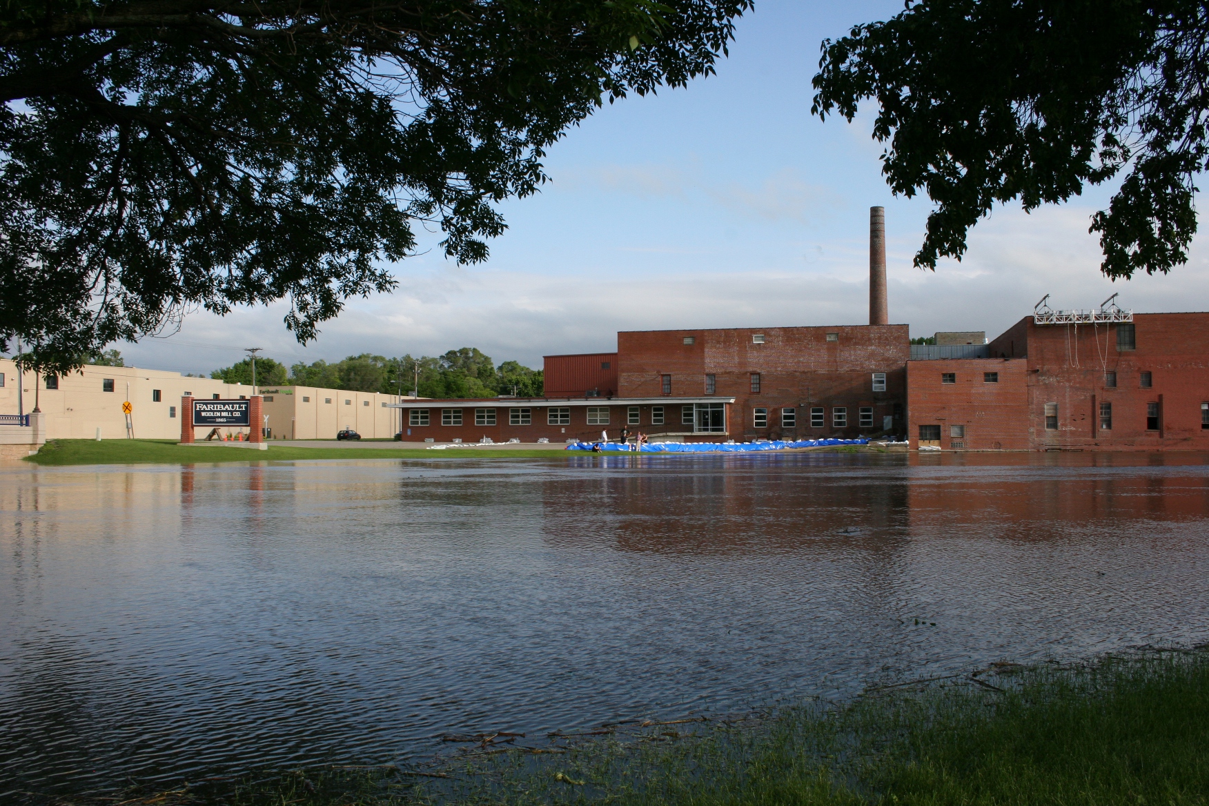
The back of the mill as photographed from the North Link Trail. The mill is on the National Register of Historic Places. Several years ago the city of Faribault received a $300,000 Minnesota Historical Cultural Heritage grant for rehab of the smokestack.
But this time I was walking, following the North Link Trail that runs through the park and is part of a city-wide recreational trails system. I paused to appreciate the inky blue waters of the Cannon on a brilliantly sunny afternoon when my gaze drifted to the mill. There I focused on white sign advertising BLANKETS. Faded, indiscernible lettering hovered over that key word.
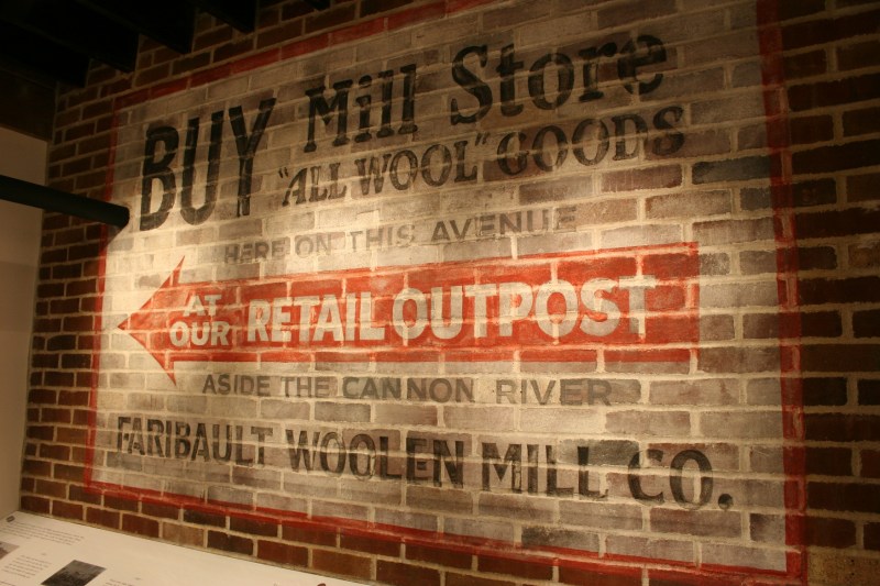
A replica of an original sign is now in the Woolen Mill’s historic display area. Minnesota Prairie Roots file photo.
I wondered how, in my 35 years living in the area, I failed to notice the vintage signage. Sometimes familiarity of place creates a lack of visual awareness. We become so accustomed to our usual surroundings that we fail to truly see. And to appreciate.
TELL ME: Have you ever felt the same upon discovering something (what?) in your community that’s been there forever but you didn’t see?
© Copyright 2017 Audrey Kletscher Helbling


Recent Comments