
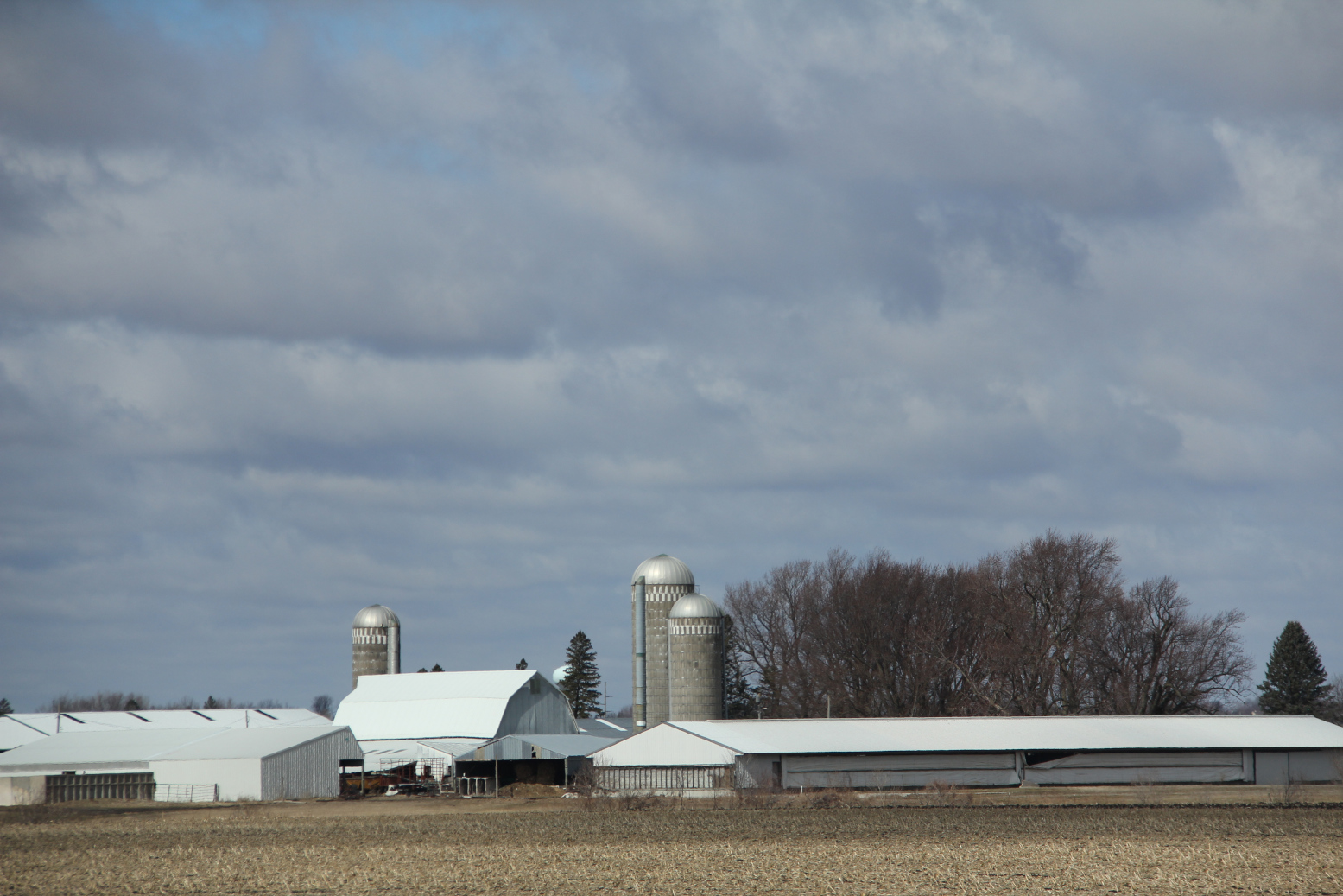
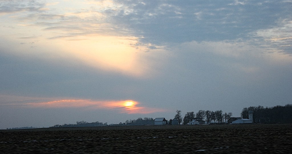
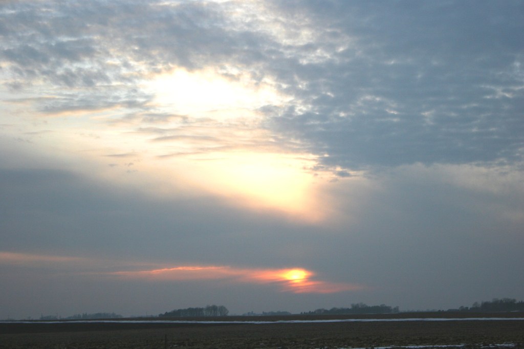
UNDER AN IMMENSE SKY in the wide open countryside of rural southern Minnesota, I always feel small.

Sky and land dwarf me, impressing upon me the vastness and power of that which rises above and that which stretches around me.
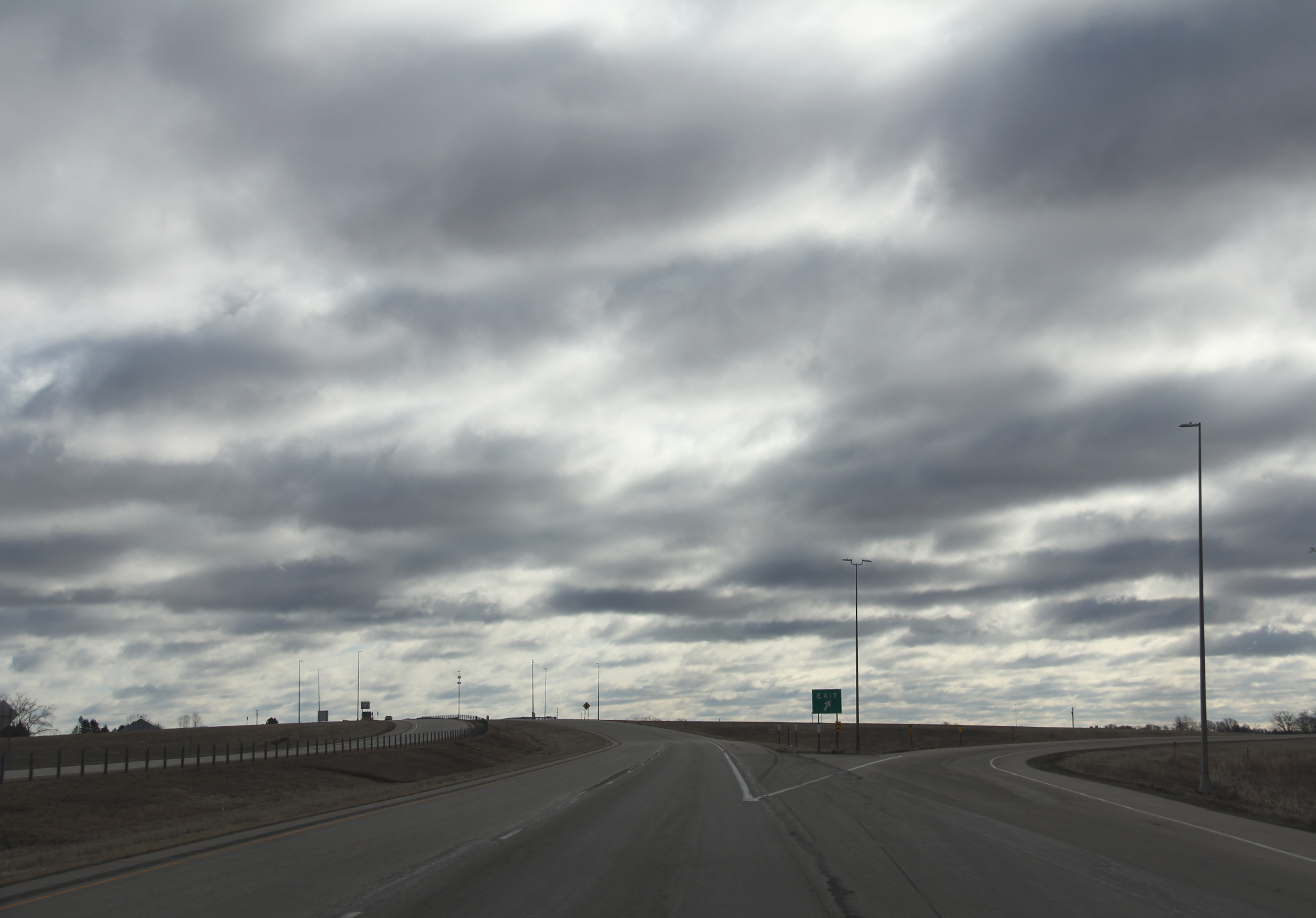
On a recent road trip to Rochester and back, the brooding sky of mid-March appeared unsettled, threatening. Cloud after cloud after cloud nearly swiped the earth while towering in a brute mass into seemingly infinity.
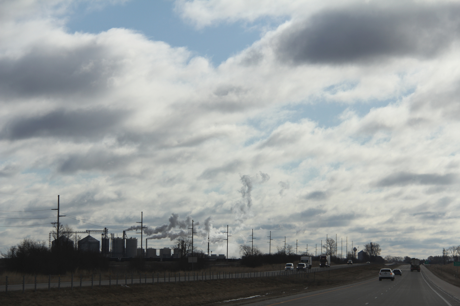
Only occasionally did the sun fight through the clouds that darkened the day. Gray prevailed, a visual cue of the major winter storm that would arrive the next evening.
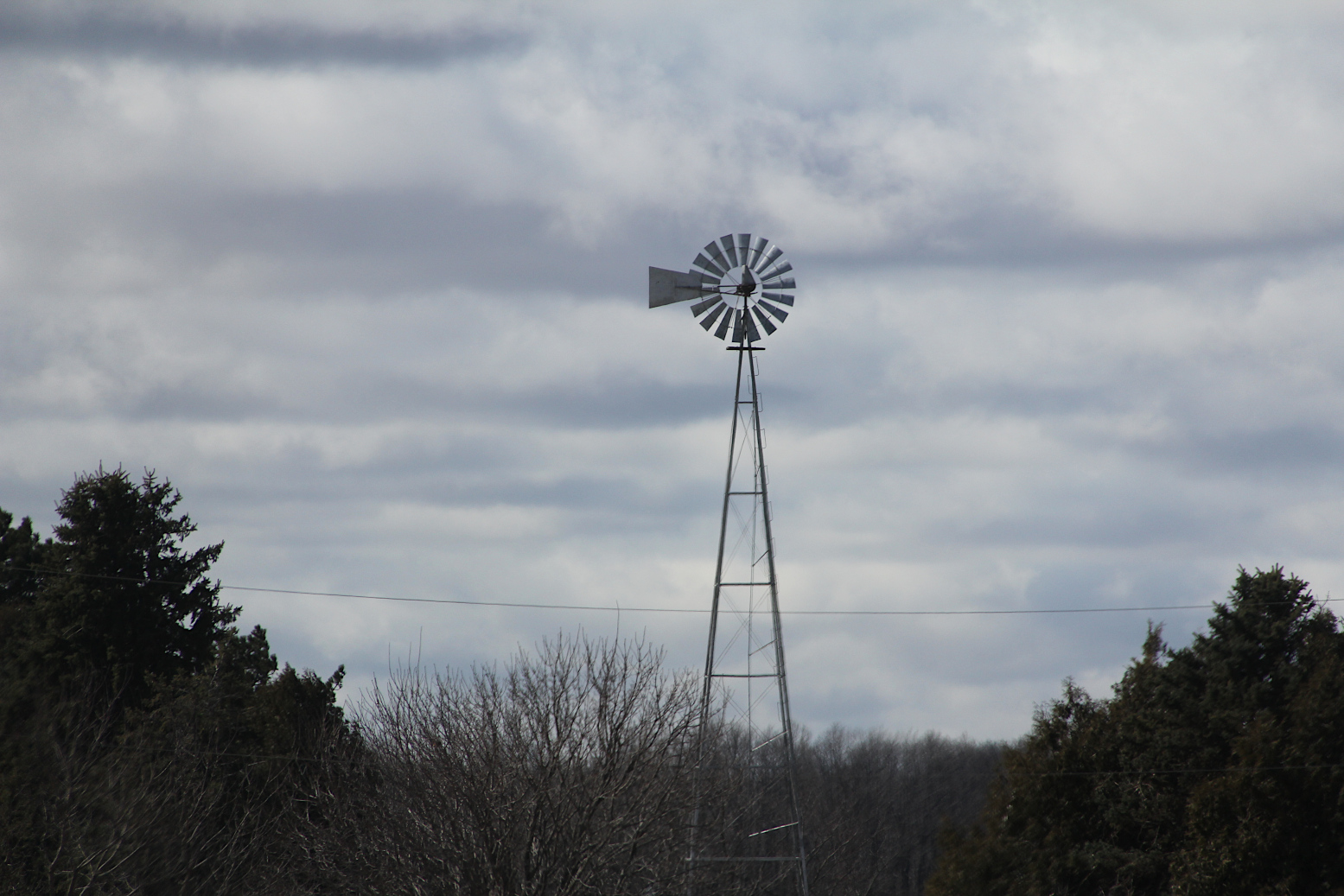
In the flatness of the land, a strong wind bullied across the landscape. Pushing. Shoving. Bending the will of boughs. Punching at vehicles. Fearless and unrelenting.
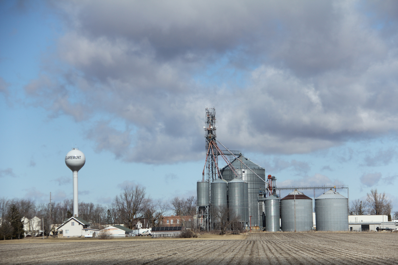
This is March in Minnesota. One day angry and roiling. The next day calm, even warm, sunny and inviting. March marks the indecisiveness of sometimes spring, sometimes still winter.
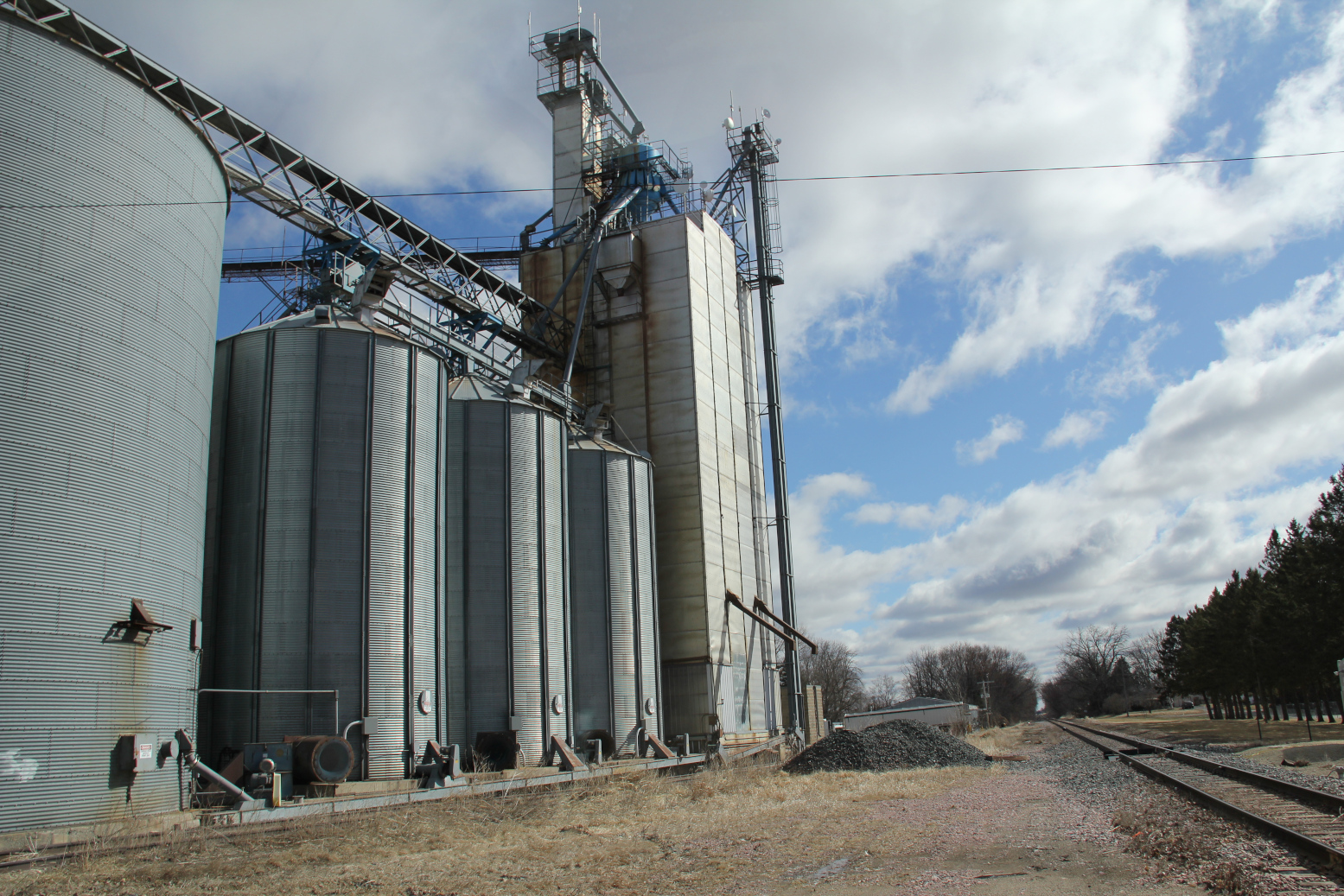
There’s a certain restlessness this time of year among those of us who live in this cold climate state of long winters. We are weary of cold and snow, ready for real spring, not just the calendar spring. We crave sunshine, warmth and greenery.
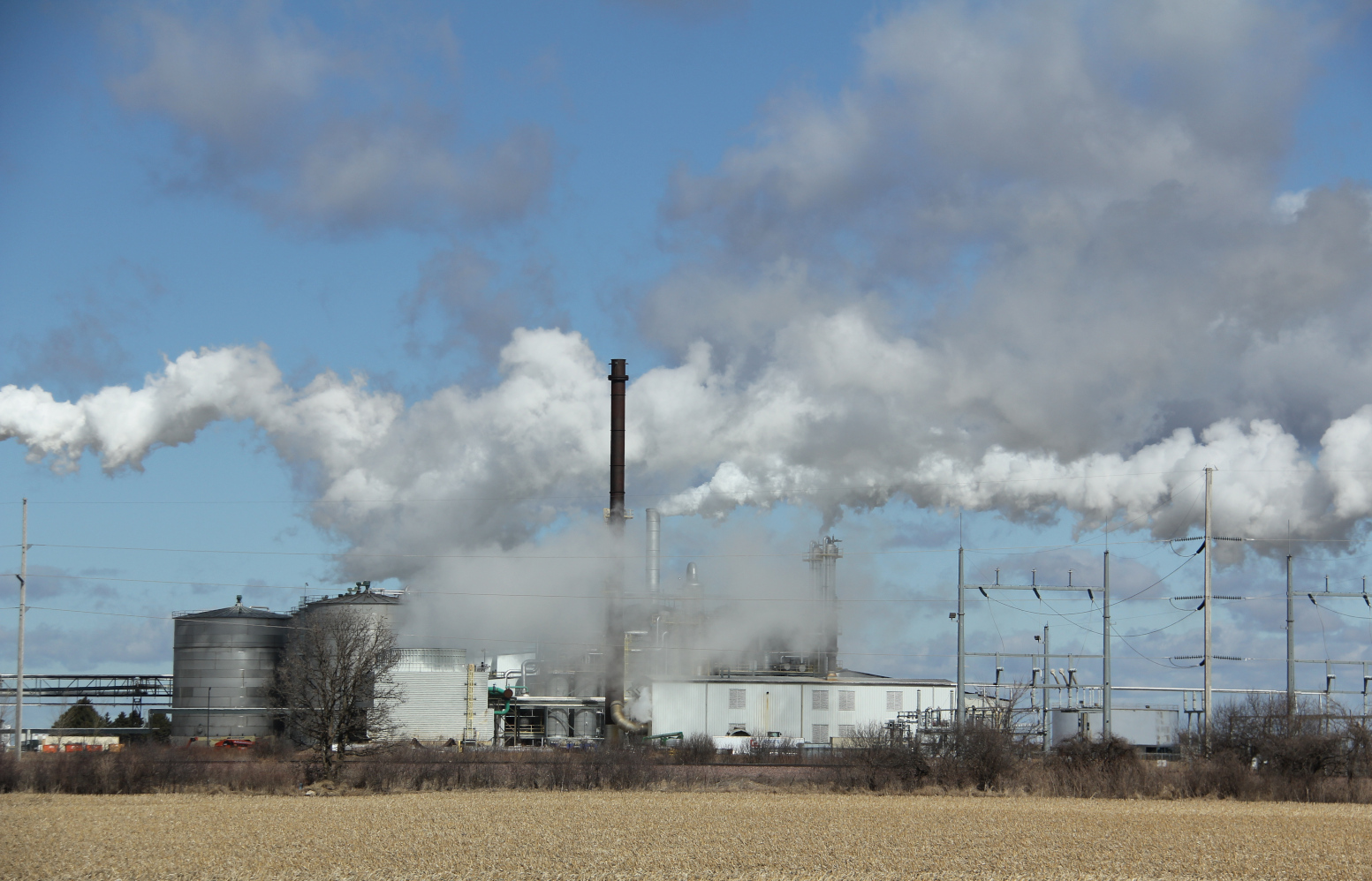
But realistically, Mother Nature has her own mind, deciding when a season reveals herself, not simply teases. I see that in the sky on this drive. The heavy morning sky, wrapped in a mass of clouds, refuses to bare herself to the sun.
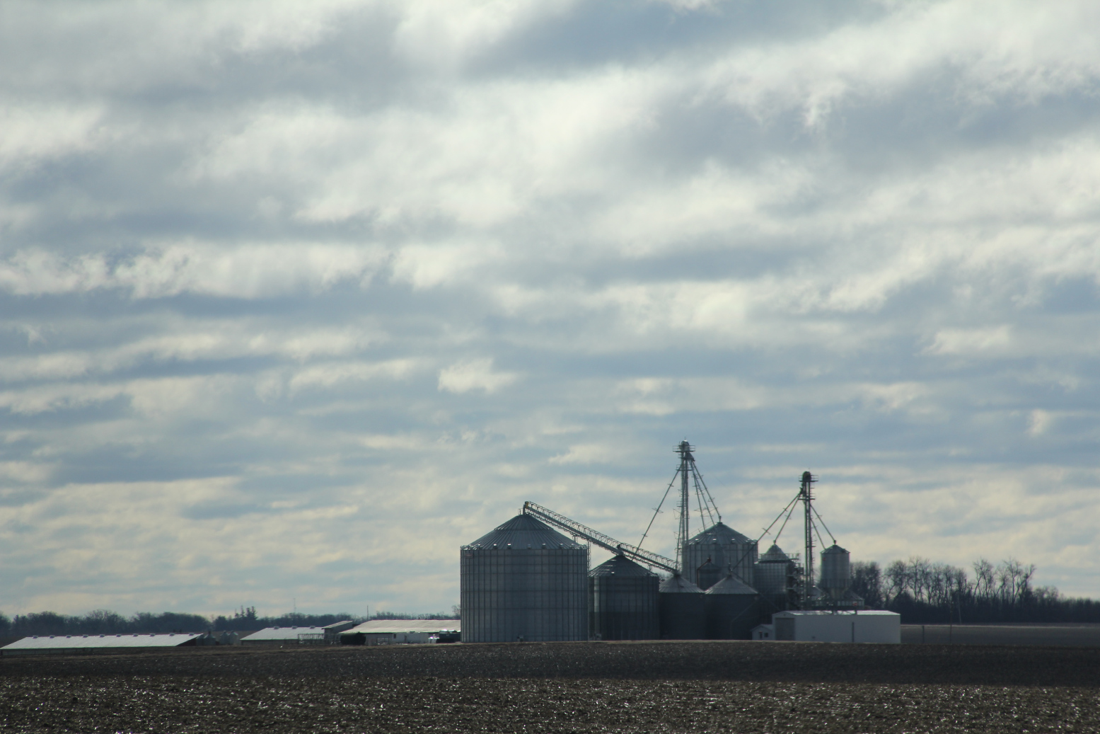
And so I feel pressed upon, diminished by sky. And land.
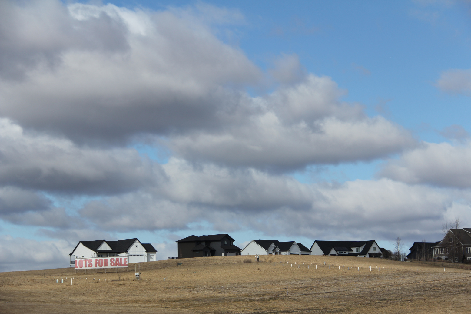
Buildings—barns and bins and houses—appear minuscule against this intimidating backdrop.
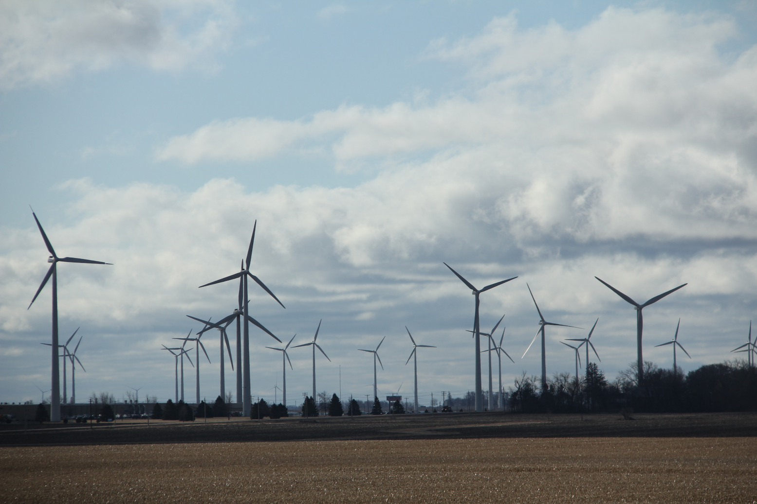
Even wind turbines, which tower above treelines, and which I find visually unappealing, appear small-scale despite their height.
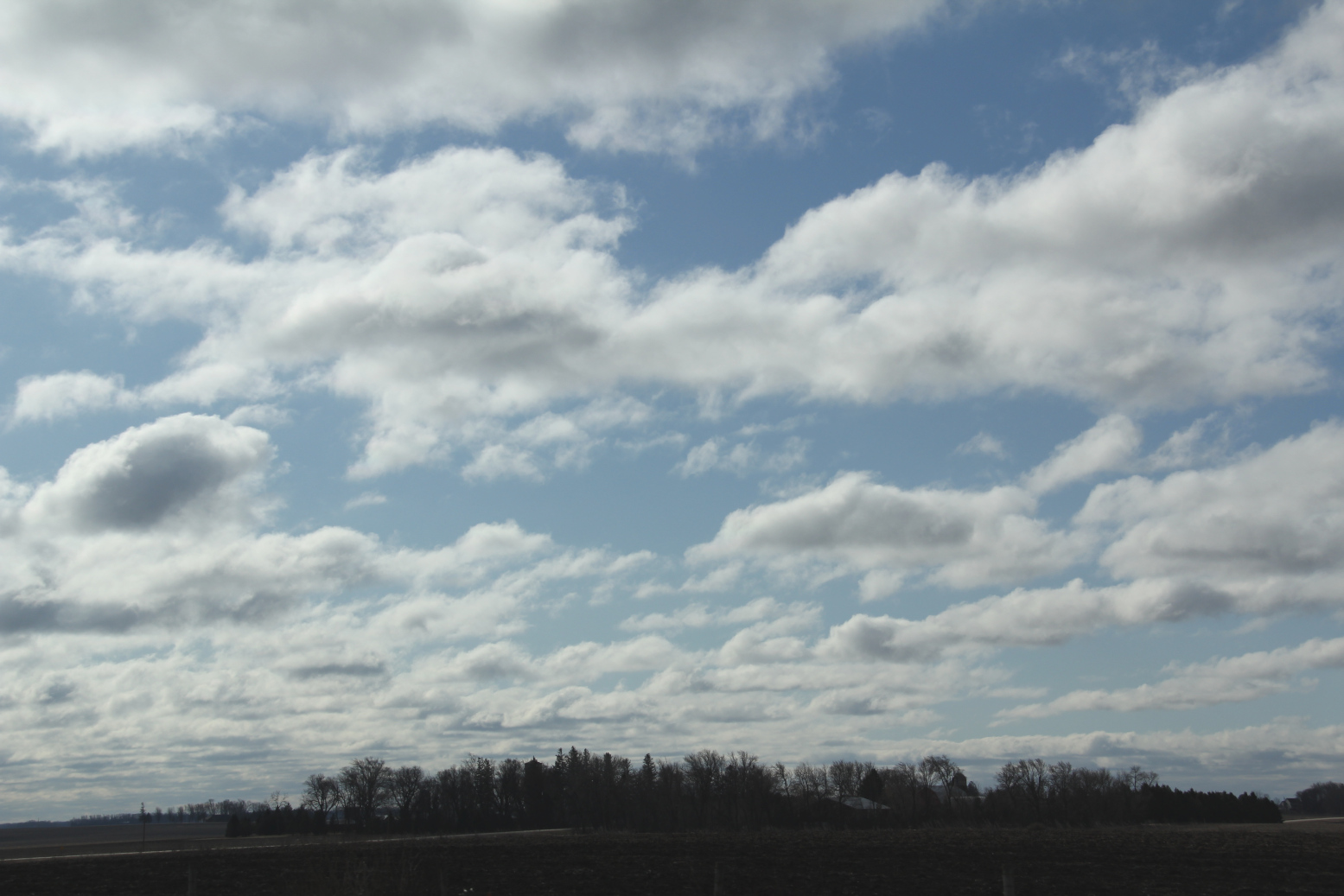
I suppose we really are small in the immensity of the universe. A road trip between Faribault and Rochester verifies that. The immense sky and stark, wide open land stretch before me, high and wide. And I feel small, oh, so small in the all of it in the midst of March in Minnesota.
NOTE: I took these on-the-road photos on March 13 as a front seat passenger in our van. I set my 35 mm camera at a fast shutter speed and shot images.
© Copyright 2026 Audrey Kletscher Helbling

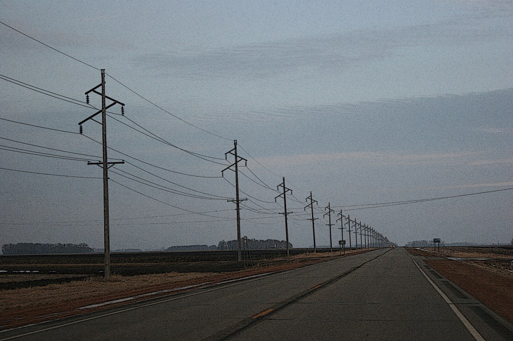


Westward bound deep into Minnesota farm country May 28, 2026
Tags: agriculture, barns, Brown County, commentary, farm fields, farm sites, farming, land, landscape, Mankato, memories, Morgan, New Ulm, Owatonna, photography, Redwood County, rural Minnesota, sky, southern Minnesota, travel, Vesta
THROUGH SEVEN SOUTHERN MINNESOTA counties we traveled—Rice, Steele, Waseca, Blue Earth, Nicollet, Brown and, then, home to Redwood. Westward bound.
Only occasionally now, mostly for the annual family reunion and on this day a beloved aunt’s funeral, do Randy and I follow this 125-mile route back to my native Redwood County.
Every trip, I see the immensity of sky and land as the landscape unfolds before me. The farther west we drive, the more rural the look, the feel, with the exception of Mankato and New Ulm.
We bypass the small towns along four-lane U.S. Highway 14 while passing endless farm sites and fields.
I have my eye on the view from the passenger side of our van, scanning the land, watching for photo ops. Photography can be a challenge while traveling at highway speeds. Still, I try, managing to capture images that document the ruralness of this place.
Barns, especially red ones, always grab my attention. They symbolize agriculture more than any other building. Yet, most no longer center a farming operation. Absent of animals, many barns have been repurposed or have fallen into heaps of rotting wood. I always appreciate a well-kept barn still standing strong against elements and the passage of time.
This trip I’m also cognizant of crops at the beginning of the growing season. Corn is popping up in rows across the land, green shoots reaching toward the sun, the sky. Green is good. When my next trip this direction comes in late July, that corn will stand towering and dense across acres of fields.
I may not be a farmer, but my connection to the land more than 50 decades removed from my childhood farm remains strong. I still look at the crops. I still hope to spot a herd of Holsteins. I still see a silo and mentally climb the interior ladder to throw down silage. I still eye a grove of trees with the playfulness of youth.
While nostalgia runs high on trips like this deep into Minnesota farm country, reality is that farming remains as challenging as ever with ever-rising expenses, low commodity prices and the uncertainties of weather. Will rain fall when needed? Will storms come with devastating wind and hail? Always, always, the risks exist from planting to growing to harvest.
But on this day, mile after mile after mile, I see the hope of a farmer. I see a way of life. I see dreams.
And I feel small in this place where land and sky dwarf farm sites, where fields stretch across endless acres, where the highway ribbons ahead of us across seven rural southern Minnesota counties, westward bound.
© Copyright 2026 Audrey Kletscher Helbling